Weather forecast for the next 24-48 hours, storm No. 3 will move west and weaken, the tropical convergence zone connecting with the low pressure area weakened by storm No. 3 with an axis passing through the North will continue to be active.
The southwest monsoon has medium to strong intensity. The subtropical high pressure will be stable, then strengthen and gradually encroach on the West.
Weather forecast for the next 3-10 days, the tropical convergence zone through the Northern region will connect with the low pressure area weakening from storm No. 3 until around July 25-26, then weakening.
The southwest monsoon will operate at medium intensity. Above, the subtropical high pressure will continue to strengthen and encroach to the West, then have stable intensity.
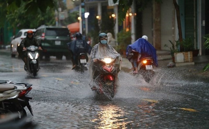
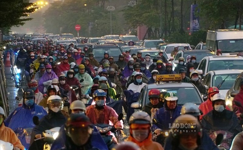
Therefore, the South will be cloudy to cloudy with scattered showers and thunderstorms, some places will have moderate to heavy rain, during thunderstorms, beware of thunderstorms, strong gusts of wind and tornadoes.
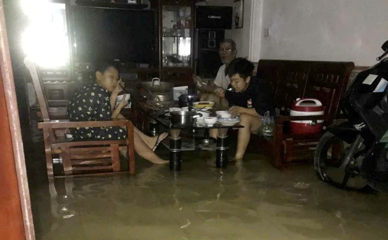
Beware of heavy rain causing localized flooding in low-lying areas and landslides along rivers. Thunderstorms accompanied by dangerous weather phenomena such as tornadoes, hail and strong gusts of wind affect agricultural production, break trees, damage houses, traffic works and infrastructure.