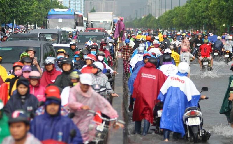
On the afternoon of June 27, in Ho Chi Minh City, thunderstorms are developing and causing rain with thunderstorms and lightning in Can Gio area, Nha Be district, Binh Chanh, District 7, Thu Duc city, central districts.
In the next 0-3 hours, thunderstorms will continue to develop, causing showers, accompanied by thunderstorms and lightning in the above districts, then expanding to other neighboring areas.
Rainfall is generally from 5-15 mm, in some places over 15 mm. During thunderstorms, beware of tornadoes, hail and strong gusts of wind of about level 5-7 (8-17 m/s), heavy rain causing local flooding.
Weather forecast for the next 24-48 hours, the low pressure trough with an axis over the Northern region will weaken and fade. Above, the subtropical high pressure with an axis crossing the southern sea of the South tends to encroach slightly on the West. The southwest monsoon in the Southern region has an average intensity.
Weather forecast for the next 3-10 days, above high ground, the subtropical high pressure with an axis crosses the southern sea of the South, around June 29-30, weakens and retreats to the East.
Around July 1, the low pressure trough with an axis through the Central region was re-established and gradually became more active. The southwest monsoon will operate at medium intensity.
Therefore, the Southern region will continue to have showers and thunderstorms, with the possibility of moderate and heavy rain. During thunderstorms, beware of thunderstorms, tornadoes, hail and strong gusts of wind, as well as heavy rain causing flooding.