Weather forecast for the next 24-48 hours, the continental cold high pressure will strengthen and weaken again after stabilizing. Above, the subtropical high pressure with an axis through the Central and South Central regions will stabilize after weakening.
Northeast winds over the Southeast Sea are moderate to strong. The low pressure trough with its axis at about 5-8 degrees North latitude connects with the low pressure area over the South East Sea, gradually lowering its axis to the South and weakening.
The continental cold high pressure has a stable intensity after weakening, and will strengthen again around January 8-9. Above, the subtropical high pressure over the Central and South Central regions will weaken, and around January 8, the western branch will tend to develop again towards the East.
The equatorial low pressure trough is weak and fading away. The northeast monsoon is moderate to strong.
Therefore, on January 4, be careful of thunderstorms with the possibility of tornadoes, lightning and strong gusts of wind.
In the coming days, the humidity in the Southern region will decrease, air quality will decrease, and the weather will be cold at night and early morning, which may affect human health.
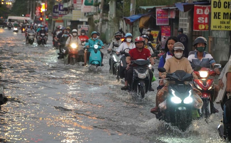
Water levels at most stations in the lower reaches of the Saigon - Dong Nai River are likely to slowly decrease over the next 5 days. The highest daily tide at approximately level 1 will remain until the end of January 4.

