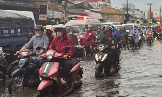
On the afternoon of October 20, thunderstorms are developing, causing showers and thunderstorms in the provinces of Tra Vinh, Soc Trang, Hau Giang, Ben Tre, Can Tho City, Dong Thap, An Giang, Vinh Long, Ba Ria - Vung Tau, Dong Nai, Ho Chi Minh City, Long An, Binh Duong, Binh Phuoc...
In the coming hours, thunderstorms will continue to develop and cause showers with thunderstorms and lightning in the above areas. Then, thunderstorms will tend to expand and spread to other neighboring areas.
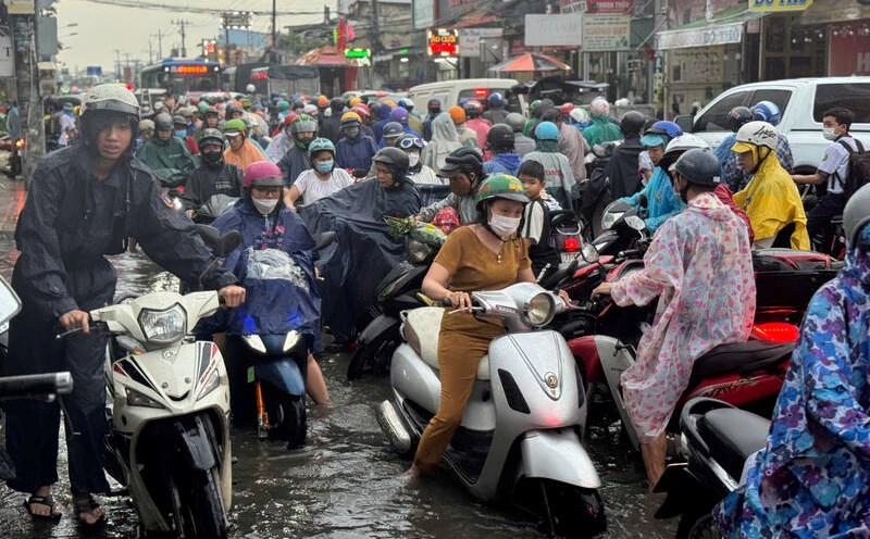
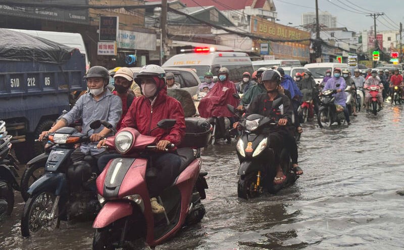
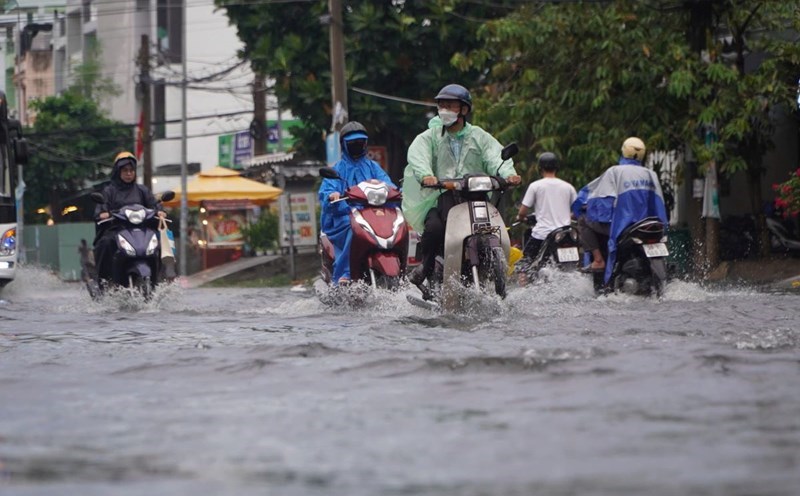
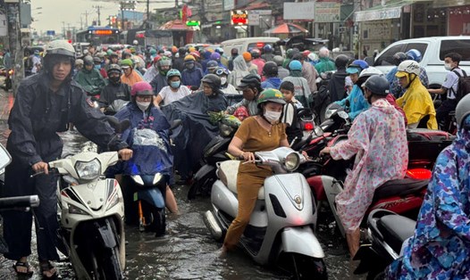
Rainfall is generally from 2-10mm, in some places over 13mm. During thunderstorms, beware of tornadoes, lightning, hail, strong gusts of wind level 5-8 (8-21m/s), heavy rain causing localized flooding.
The thunderstorms are caused by the continental cold high pressure strengthening and shifting to the East. The low pressure trough with its axis over the Southern region is gradually becoming stronger.
Weather forecast for the next 24-48 hours, continental cold high pressure will strengthen and shift to the East. The equatorial low pressure trough with an axis over the South will have little change in intensity. Above, the subtropical high pressure will have an axis over the North Central region.
In the next 72 hours, the continental cold high pressure will be strengthened after stable activity. The equatorial low pressure trough will gradually strengthen into an intertropical convergence zone (ITCZ) with an axis of about 9-12 degrees north latitude. There is a possibility of forming a tropical cyclone on the ITCZ.
Above, the subtropical high pressure with an axis through the North Central - North Vietnam is stable, then weakens and moves east around October 24-25.
In the coming days, the Southern region will have scattered showers and thunderstorms, with some places experiencing heavy rain, with the possibility of tornadoes, lightning and strong gusts of wind. Be on guard for the possibility of heavy rain causing localized flooding in low-lying areas and areas with poor drainage.