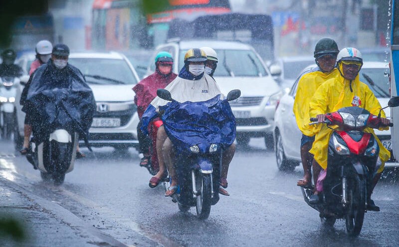
Weather forecast for the next 24-48 hours, the continental cold high pressure continues to strengthen and diffuse to the South. Northeast wind in the Southeast sea area operates with strong intensity.
Above, the subtropical high pressure system with an axis through the Central region is operating stably.
From 72 hours, the continental cold high pressure weakened and gradually moved to the East, weakly strengthened around December 2 and strongly strengthened to the North of our country on December 6.
Northeast winds are strong in the offshore waters of the Southeast, from 1.12 onwards, the Northeast winds will slightly decrease in intensity. Above, the subtropical high pressure will be stable, then gradually lift its axis to the North.
Therefore, the weather in the South is cool in the morning and at night. From the beginning of December, the South will end the rainy season and enter the dry season.
Water levels at most stations in the downstream of the Saigon - Dong Nai River will rise rapidly in the next 5 days. The highest tide peak may occur on December 3-4.
Phu An and Nha Be stations are at about 1.58-1.63 m at approximately level III alarm. Peak tides occur at 4-6am and 5-7pm.
Thu Dau Mot station is at about 1.60-1.65 m at approximately or 0.05 m above alarm level III. Bien Hoa station is at about 1.80-1.85 m at approximately or 0.05 m above alarm level I.
During the high tide period in early November of the lunar calendar, the river water level is quite high, combined with strong northeast monsoon (level 6-7, gusting to level 8), which can cause flooding in low-lying areas and riverside areas, affecting traffic and socio-economic activities.


