Weather forecast for the next 24-48 hours, the Intertropical Convergence Zone (ITCZ) has an axis through the Central region and the middle of the East Sea, on the ITCZ there is a possibility of forming a tropical cyclone.
The southwest monsoon will operate at medium to strong intensity. Above, the subtropical high pressure in the northern branch will encroach on the West with an axis through the North of the North, converging the winds that still exist in the Southern region.
Forecast of the weather in the next 3-10 days, the ITCZ with an axis through the Central region tends to gradually strengthen and gradually lift the axis to the North.
On the ITCZ, there is a possibility of tropical cyclones forming, tropical cyclones are likely to strengthen; around August 18-19, the ITCZ will gradually weaken. The southwest monsoon will operate at medium to strong intensity.
Above, the subtropical high pressure in the southern branch tends to encroach on the West and gradually lift its axis to the North, around August 18 it will have an axis through the South - South Central region, then continue to lift its axis to the North through the Central Central region and North Central region, and by around August 21 it will gradually weaken. The high-altitude wind convergence has been operating well since around August 21.
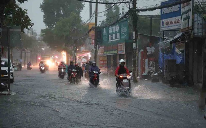
Therefore, the Southern region will have moderate rain, heavy rain and thunderstorms, with common rainfall of 50-100 mm, locally very heavy rain over 200 mm.
Beware of heavy rain causing localized flooding in low-lying areas and landslides along rivers. Thunderstorms accompanied by dangerous weather phenomena such as tornadoes, hail and strong gusts of wind affect agricultural production, break trees, damage houses, traffic works and infrastructure.