Currently, the low pressure trough with an axis at about 23-25 degrees North latitude is being compressed, pushing the fluid down to the South. The equatorial trough will gradually strengthen and lift its axis to the North.
Around mid- to late weekend, the low pressure trough will have an axis at about 18-20 degrees North latitude and the southwest monsoon will gradually strengthen the weather in the area.
Above, the subtropical high pressure will have an axis passing through the Central region and gradually lift its axis to the North, operating at a relatively stable intensity over the next 10 days.
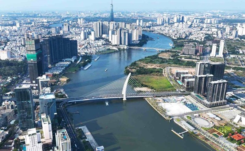
Therefore, the weather in Ho Chi Minh City and neighboring provinces and cities from now until May 3 will have scattered showers and thunderstorms, with some places having moderate to heavy rain, mainly in the afternoon and evening. Sunny morning to noon with hot weather above 35 degrees Celsius.
On May 4-10, the rain tends to increase gradually, with scattered rain in many places throughout the area, with some places having moderate to heavy rain. High temperatures tend to decrease, nowhere is it hotter, the highest temperature is commonly 30-34 degrees Celsius; the lowest temperature is 23-26 degrees Celsius.
During thunderstorms, it is necessary to be on guard against tornadoes, lightning, gusts of wind, and hail that can endanger people and property damage. Beware of heavy rain and localized heavy rain in the late afternoon that could cause flooding on some roads in the central area of Ho Chi Minh City.