Weather forecast for the next 24-48 hours, the low pressure trough with an axis through the North will remain. The southwest monsoon will operate at medium intensity.
Above, the subtropical high pressure in the southern branch has an axis through the South, slightly encroaching on the West and gradually raising its axis to the North through the South Central - South.
Weather forecast for the next 3-10 days, the low pressure trough with an axis through the North tends to operate well. The southwest monsoon will operate at medium to strong intensity until around July 12, gradually decreasing.
Above, the subtropical high pressure in the southern branch weakens, around July 10-11, the subtropical high pressure with an axis over the North will encroach on the West.
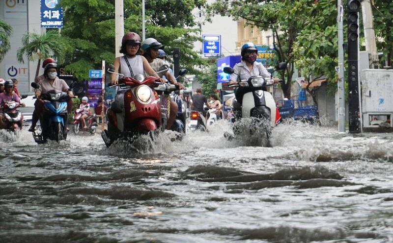
Therefore, the Southern region will continue to have showers and thunderstorms, with the possibility of moderate and heavy rain. During thunderstorms, beware of thunderstorms, tornadoes, hail and strong gusts of wind, as well as heavy rain causing flooding.
On the day and night of July 7, Ho Chi Minh City (including Con Dao and DK11-7) will have scattered showers and thunderstorms in some places. During thunderstorms, strong gusts of wind of level 6-7, affecting the operation of ships and boats may occur.