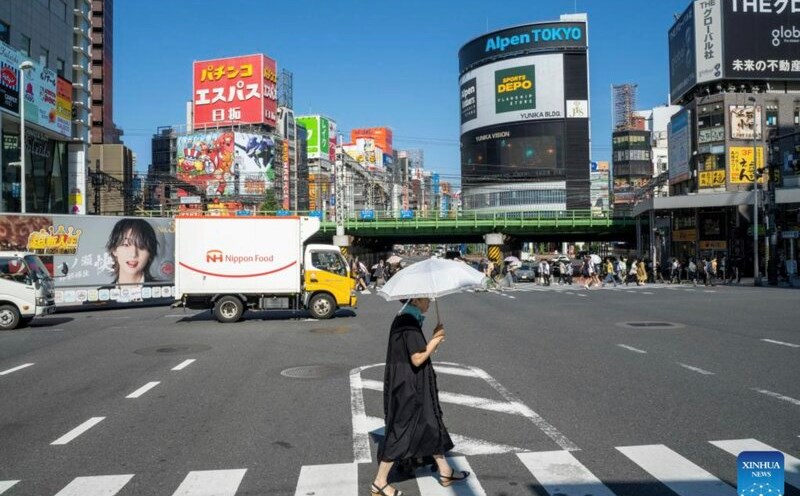
According to the Southern Hydrometeorological Station, in March and April, cold air waves from mainland China will continue to strengthen down to the southern region. Interspersed with that is the development and expansion to the East of the hot low pressure from the West - the weather pattern characteristic of the transitional season.
Forecasts show that the Northeast monsoon will continue throughout March to the end of April. From the beginning of May, the Southwest monsoon is likely to begin to appear, marking a shift to the early rainy season weather type in the South.
During this time, subtropical high pressure is assessed to be operating strongly, with its axis passing through the Central and Southern regions. This pattern tends to increase the temperature base, causing hot weather to appear earlier and last longer.
Synthesizing from forecast models of many climate centers around the world shows that rainfall in the Southern region in the coming months tends to be close to the multi-year average. Meanwhile, the temperature is forecast to be commonly at a level close to or higher than the multi-year average, increasing the possibility of widespread heat waves.
Notably, hot weather is forecast to appear right from the first week of March, then gradually increase in intensity. The harshest period of hot weather is likely to fall in April. In May, hot weather tends to gradually decrease as the Southwest monsoon becomes more active. This year's hot weather intensity is predicted to be equivalent to 2025.
Besides hot weather, in March and April there may be a few days of unseasonal thunderstorms. By the end of April, seasonal rain is likely to increase. It is expected that in the first week and mid-May, the Ho Chi Minh City area will enter the early rainy season.
The meteorological agency also warned that during the transitional season, people need to be wary of dangerous weather phenomena such as thunderstorms, tornadoes, lightning and strong gusts of wind. These are weather patterns that can be dangerous to humans, and also affect property and agricultural production.
Although the cold air is gradually weakening, it still affects the weather in Ho Chi Minh City in March, making it chilly at night and early morning. These weather conditions can increase the risk of respiratory diseases, especially in the elderly and young children.
In the sea area of Ho Chi Minh City, the Northeast monsoon waves in March and early April continue to cause strong winds and big waves, especially in the eastern sea area. In April and May, bad weather at sea tends to increase, accompanied by thunderstorms and gusts of wind. Ships operating at sea are advised to closely monitor forecast bulletins and proactively prevent risks.


