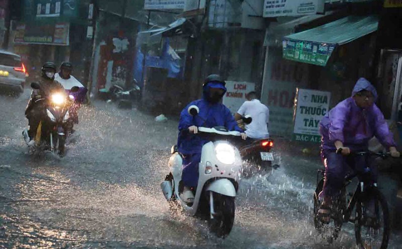
On the afternoon of June 28, thunderstorms are developing, causing showers and thunderstorms in Ho Chi Minh City and the Southern provinces.
In the next 0-3 hours, thunderstorms will continue to develop and cause showers with thunderstorms and lightning in the above areas, then thunderstorms tend to expand and spread to other neighboring areas.
Rainfall is generally from 5-35 mm, in some places over 40 mm. During thunderstorms, beware of tornadoes, lightning, hail, strong gusts of wind of level 5-8 (8-21 m/s), heavy rain causing local flooding.
Weather forecast for the next 24-48 hours, the low pressure trough with an axis through the Northern region will continue to maintain. Above, the subtropical high pressure will be stable. The southwest monsoon will operate at medium intensity.
Weather forecast for the next 3-10 days, the low pressure trough with an axis over the North will be active, then there will be a trend of gradually moving to the South, from around July 3-4, the activity will gradually weaken. The southwest monsoon will operate at medium intensity.
Above, the subtropical high pressure tends to strengthen and encroach to the West, gradually weakening from around July 3-4.
Therefore, from July 1-3, the Southern region is likely to experience heavy rain. During thunderstorms, beware of thunderstorms, tornadoes, hail and strong gusts of wind, as well as heavy rain causing flooding.