Weather forecast for the next 24-48 hours, the continental cold high pressure will continue to strengthen weakly to the South, then have stable intensity; from around the night of November 2, it will strengthen again.
The low pressure trough with an axis through the South - South Central region is operating well, connecting with the tropical cyclone in the Southeast Philippine sea. Above, the subtropical high pressure with an axis crossing the North - North Central region has stable intensity. The wind changes direction with weak intensity over the Southern sea.
Weather forecast for the next 3-10 days, the continental cold high pressure will be stable, from November 5 it will move to the East and gradually weaken.
The low pressure trough lifts its axis to the North, from around November 4-5 it will lower its axis to the South through the South, connecting with a tropical cyclone in the East of the Philippines, which is likely to move into the East Sea. Above, the subtropical high pressure is stable, gradually weakening around November 5.
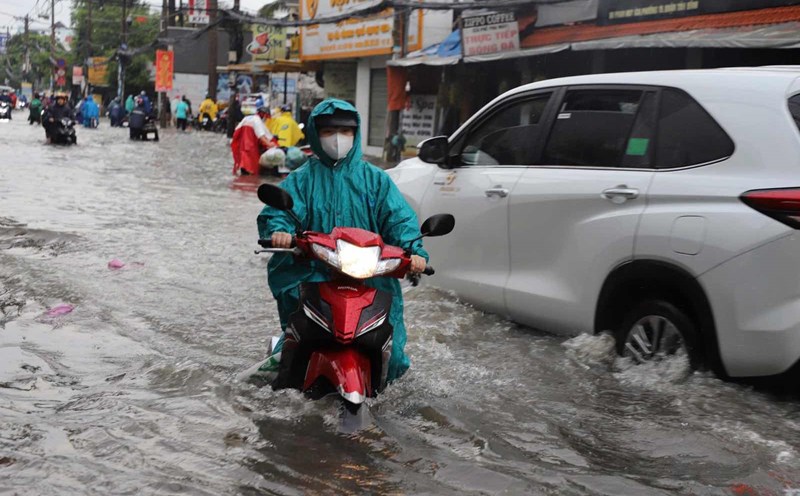
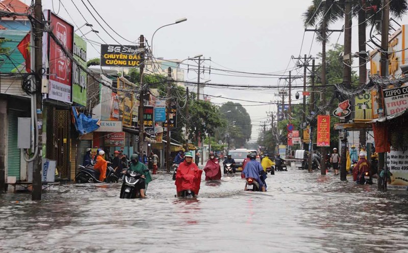
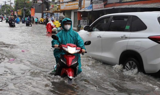
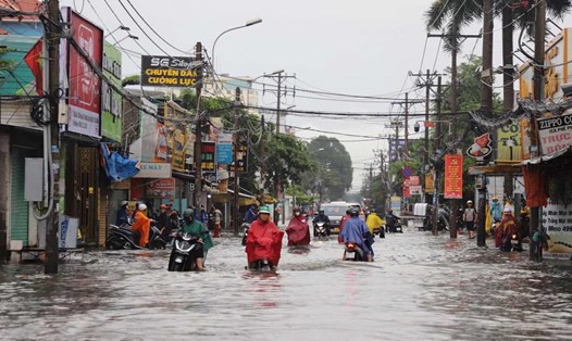
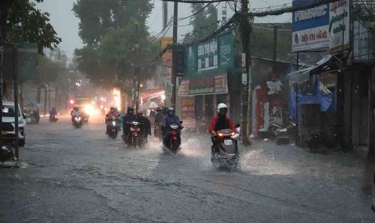
Therefore, from 1:00 p.m. on November 1 to 1:00 p.m. on November 3, Ho Chi Minh City and the South will have moderate rain, heavy rain and thunderstorms. Total rainfall is generally 80-150 mm, in some places over 150 mm. Heavy rain is forecast to continue in the following days in the area.
The highest water level of the day at most stations on the Saigon River will rise slowly in the coming days. By November 5, the highest tide peak of the day was above alert level III.