The continental cold high pressure will strengthen again, gradually weakening from November 5. The tropical convergence zone tends to gradually lift its axis to the North through the South and South Central regions.
At around November 5, the axis will be lowered to the South and will be active, connecting with the tropical cyclone that is likely to operate in the East Sea. Above, the subtropical high pressure with an axis through the North will operate stably, and around November 3-4, it will tend to encroach on the West slowly.
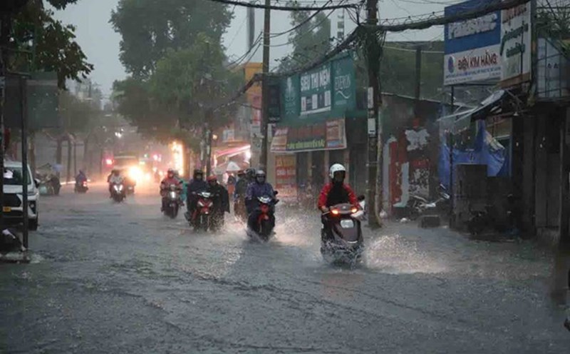
Therefore, the Southern region will have intermittent sunshine during the day, with showers in many places in the afternoon and evening and scattered thunderstorms, some places have moderate to heavy rain; scattered showers and thunderstorms at night.
The rain will be more concentrated between November 2-5 and November 8-9. During thunderstorms, beware of tornadoes, lightning, hail and strong gusts of wind. Beware of localized heavy rain that may cause flooding on some roads in the central area of Ho Chi Minh City.
The average temperature is approximately the same and higher than the average of many years in the same period, ranging from 27.5-29.0 degrees Celsius. The lowest temperature is generally 24-27 degrees Celsius. The highest temperature is generally 29-33 degrees Celsius.