Forming a low pressure trough with an axis through the Central region and gradually becoming a tropical convergence zone, beware of the possibility of storms and tropical depressions operating in the East Sea from August 23 to 24.
The southwest monsoon will operate at medium intensity, from around August 24 onwards, it will be medium to strong. Above, the subtropical high pressure will gradually lift its axis to the North, with an axis through the North until about August 23-24, gradually weakening. The high-altitude wind convergence will operate well in the Southern region from around August 23.
Therefore, in the Southern region from August 21 to 22 and from August 28 to 29, the clouds will change, the days will be sunny, with occasional interruptions, scattered showers and thunderstorms in the afternoon and evening, with moderate and heavy rain in some places. Night with showers and thunderstorms in some places.
The highest temperature is generally 31-34 degrees Celsius, the lowest temperature is 25-27 degrees Celsius.
From August 23-27 and from August 30-31, the clouds will change to cloudy, with intermittent sunshine during the day, showers and thunderstorms in many places in the afternoon and evening, scattered moderate rain, and heavy rain in some places. Scattered showers and thunderstorms at night.
The highest temperature is commonly 30-33 degrees Celsius, the lowest temperature is 24-26 degrees Celsius.
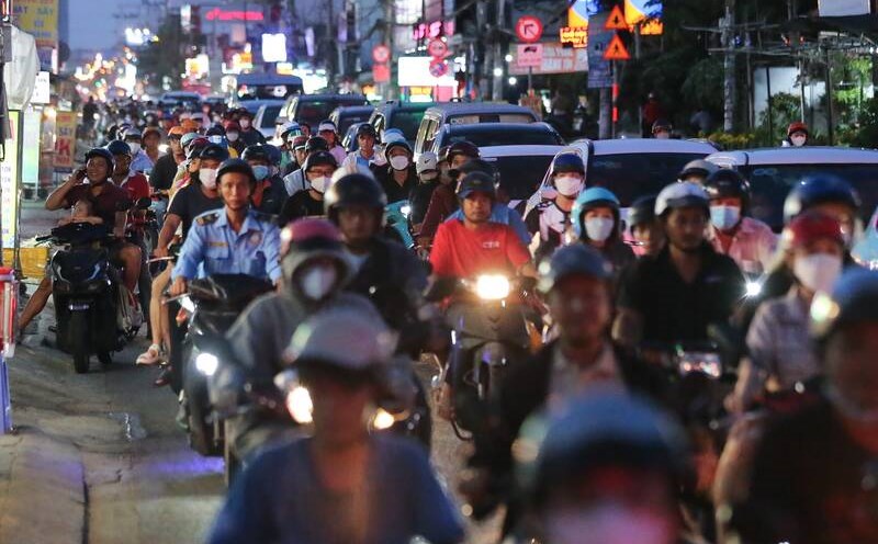
During thunderstorms, it is necessary to be on guard against tornadoes, lightning, hail and strong gusts of wind that can endanger people and property damage, and be on guard against localized heavy rain in the first days of the week that can cause flooding on some roads in the central area of Ho Chi Minh City.