According to Lao Cai Provincial Hydrometeorological Station, in the past 6 hours (from 4:00 AM to 10:00 AM on July 1), moderate to heavy rain appeared in the province, with very heavy rain in some places. Many areas recorded heavy rain such as Xuan Thuong (Bao Yen) 124.4mm, Lam Thuong 119.2mm, Khanh Thien 112.2mm, Lieu Do 102mm, Tan Linh 97.2mm, Yen The 94.8mm...
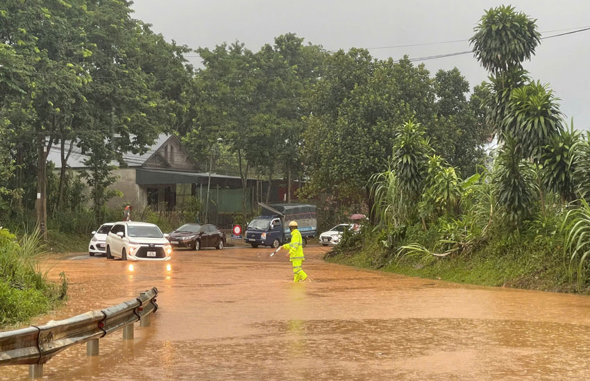
Prolonged heavy rain has caused localized flooding in many low-lying areas, while soil moisture in some places has reached a state of near saturation or saturation above 90%, increasing the risk of dangerous types of natural disasters.
The meteorological agency forecasts that in the next 6 hours, many areas of Lao Cai province will continue to have rain with common rainfall from 20 - 50mm, in some places over 70mm.
Faced with complicated weather developments, Lao Cai Provincial Hydrometeorological Station warns of the risk of flash floods on small rivers and streams; landslides at slopes and traffic road taluys; land subsidence in weak soil areas or areas that have been saturated with water.
Residential areas in villages, hamlets, and residential groups located along rivers and streams, at the foot of hills, or areas with steep terrain are identified as points that need special attention during this rain spell.
According to assessments, the level of natural disaster risk due to flash floods, landslides and subsidence in the province is currently level 1. However, these phenomena can cause property damage, affect traffic, damage infrastructure works and threaten people's safety if heavy rain continues to last.
Functional sectors recommend that people regularly monitor weather forecasts and warnings; proactively review areas at risk of unsafety, limit movement through underground spillways, rivers, streams, and slopes during heavy rain to ensure safety.


