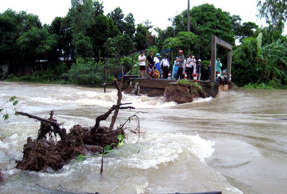
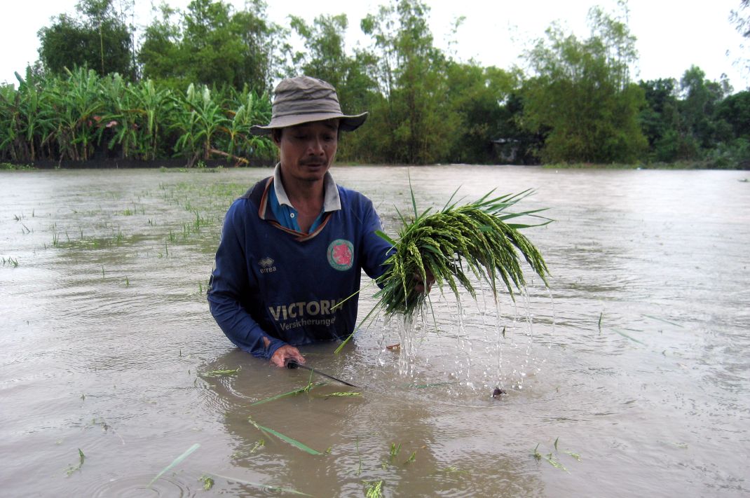
According to updated assessments by the Southern Institute of Water Resources Planning and the Southern Institute of Water Resources Research, the peak of the main flood season in 2025 in the Mekong Delta is at risk of exceeding the historical level in 2022. More worryingly, this high flood peak combined with high tides will increase the risk of flooding in urban areas and key productive areas.
Due to the impact of consecutive storms in recent days, heavy rains have occurred over a wide area in the Mekong River downstream basin. This is in harmony with the high tide that has caused the water level in the upstream of the Mekong River in Tan Chau and Chau Doc (An Giang province) to increase rapidly and peak.
Floods are forecast to peak in the first half of October 2025 in the Tan Chau and Chau Doc areas. Specifically, on the Tien River, in Tan Chau, the flood peak is forecast to reach 3.7 - 3.9 m (Tan Chau); on the Hau River, in Chau Doc, the flood peak will reach 3.5 - 3.7 m (Chau Doc), which is 0.2 - 0.4 m higher than warning level I and II; exceeding the same period in 2024 by about 0.3 - 0.5 m.
In the Can Tho - My Thuan area alone, the peak flood level is forecast to be 2.25 - 2.3 m (Can Tho) and 2.15 - 2.2 m (My Thuan). This figure is approximately equal to or higher than the historical flood peak in 2022 (Can Tho: 2.27 m; My Thuan: 2.15 m).
According to the forecast, consecutive high tides will appear, causing complicated flood levels. In addition to the main flood peak from October 8 to 13, 2025, another high tide will occur from November 5 to 9, 2025, with water levels equivalent to or higher, increasing the risk of repeated flooding, especially if heavy rain coincides with the tide rising. If the flood occurs according to this scenario, many localities in the Mekong Delta will face many difficulties due to flooding.