
According to Lao Cai Provincial Hydrometeorological Station, through monitoring satellite images, lightning positioning data and weather radar at dawn on August 3rd, convective cloud areas are developing strongly, causing showers, locally heavy rain with thunderstorms in Lam Thuong, Tan Linh, Luc Yen and Muong Lai communes and wards.
Notably, convective clouds from Tuyen Quang and Son La are continuing to move towards Lao Cai province, increasing the possibility of widespread thunderstorms.
The meteorological agency forecasts that in the next few hours, convective cloud areas will continue to develop and expand, causing showers, in some places heavy rain with thunderstorms, strong gusts of wind in the above areas, then spreading to many other localities such as Che Tao, Lao Chai, Mu Cang Chai, Nghia Do, Xuan Hoa, Bao Yen, Phuc Khanh, Khanh Hoa, Phuc Loi, Lam Giang, Chau Que, Muong Hum, Ngu Chi Son, Bat Xat, Coc San...
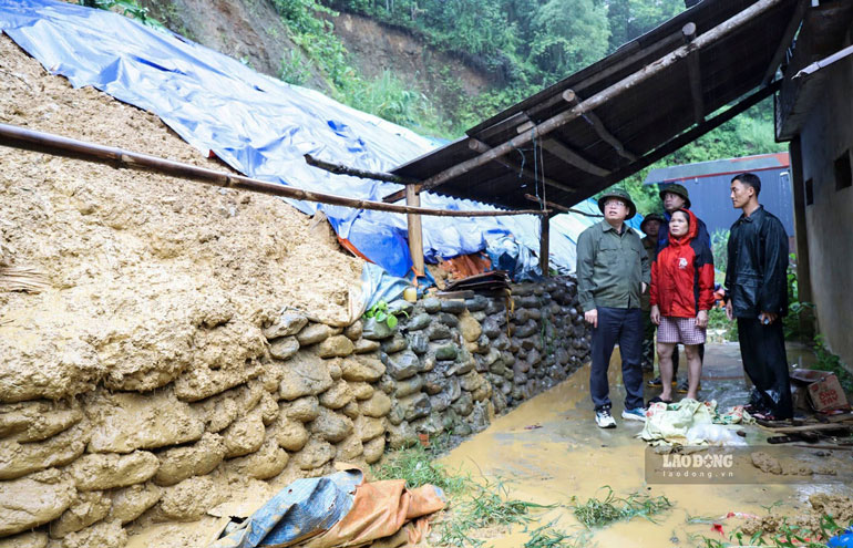
During thunderstorms, people need to be wary of extreme weather phenomena such as tornadoes, lightning, hail and strong gusts of wind. These phenomena can break trees, blow off roofs, damage traffic works, infrastructure and affect people's safety.
Lao Cai Provincial Hydrometeorological Station also noted that in the context that many areas of the province have just been affected by prolonged heavy rain, the soil has saturated water, people in hilly and mountainous areas, along rivers and streams need to continue to be vigilant about the risk of landslides, flash floods and localized flooding when heavy rain appears.
Currently, the level of natural disaster risk due to tornadoes, lightning and hail is determined to be level 1.


