
According to Lao Cai Provincial Hydrometeorological Station, from the morning of August 5 to the night of August 6, there is a possibility of moderate to heavy rain, with very heavy rain in some places accompanied by thunderstorms in the province due to the influence of a low pressure trough combined with a strong high-altitude wind convergence zone.
In the past 24 hours, showers and thunderstorms have appeared in many areas of the province, with very heavy rain in some places.
Rainfall measured from 7 am on August 4 to 7 am on August 5 was commonly from 20-40 mm, some places exceeded 70 mm such as Chan Thinh 97.7 mm, Kien Lao (Quy Mong) 93.4 mm, Tan Duong (Xuan Hoa) 77.8 mm and Nam Bung (Gia Hoi) 74.6 mm.
It is forecasted that during this rain spell, the common rainfall will be from 40-70 mm, with some places over 120 mm. After that, the area will still maintain scattered showers and thunderstorms, with locally heavy rain.
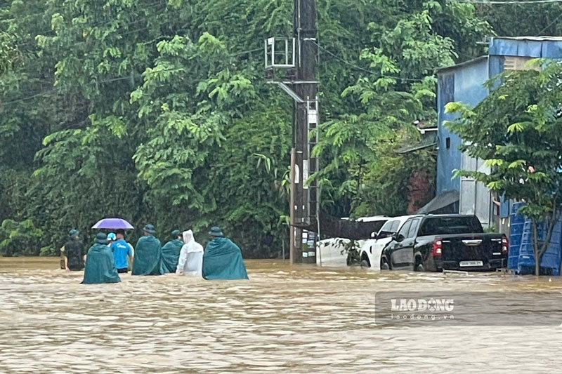
It is noteworthy that in thunderstorms, there is a possibility of tornadoes, lightning, hail and strong gusts of wind, posing a risk of causing damage to houses, trees, infrastructure works and affecting people's safety.
According to Lao Cai Provincial Hydrometeorological Station, from August 7th, the weather will continue to have scattered showers and thunderstorms, locally with moderate to heavy rain with common rainfall from 10-30 mm, in some places over 70 mm in 24 hours.
The meteorological agency warns of the level of natural disaster risk due to heavy rain at level 1. Prolonged rain increases the risk of landslides in hilly and steep areas, flash floods on small rivers and streams, and can also cause localized flooding in low-lying areas and residential areas.
Functional sectors recommend that people regularly monitor forecast bulletins, proactively prevent thunderstorms, tornadoes, lightning; limit passing through areas at risk of landslides and deep flooding and implement measures to protect people and property to minimize damage caused by heavy rain.


