
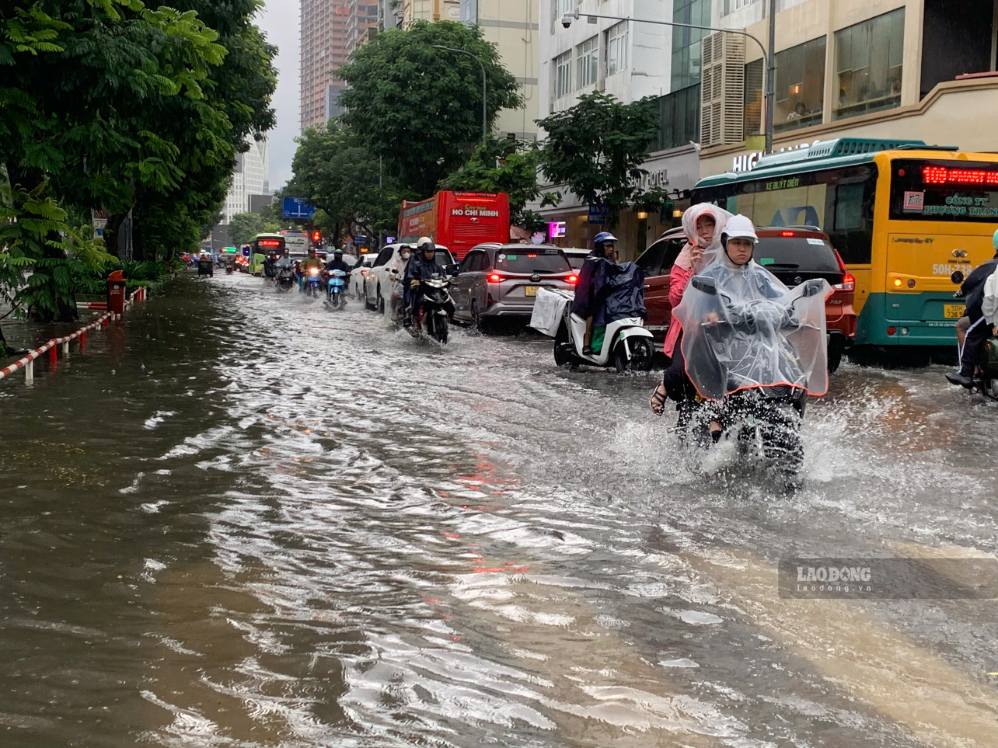
Recorded in the central area, roads such as Le Lai, Nguyen Du and some adjacent roads appeared slightly flooded. Some low-lying sections, the drainage system did not drain in time, making it difficult for vehicles to move.
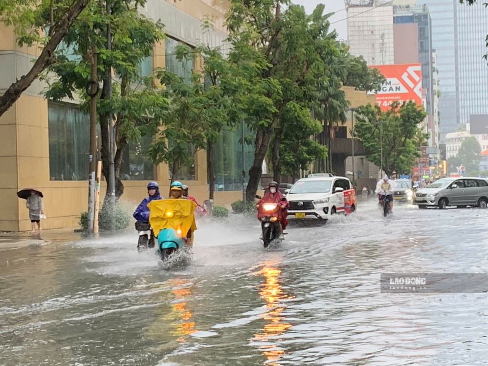
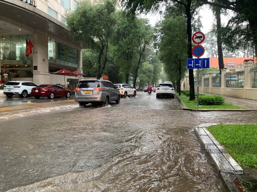
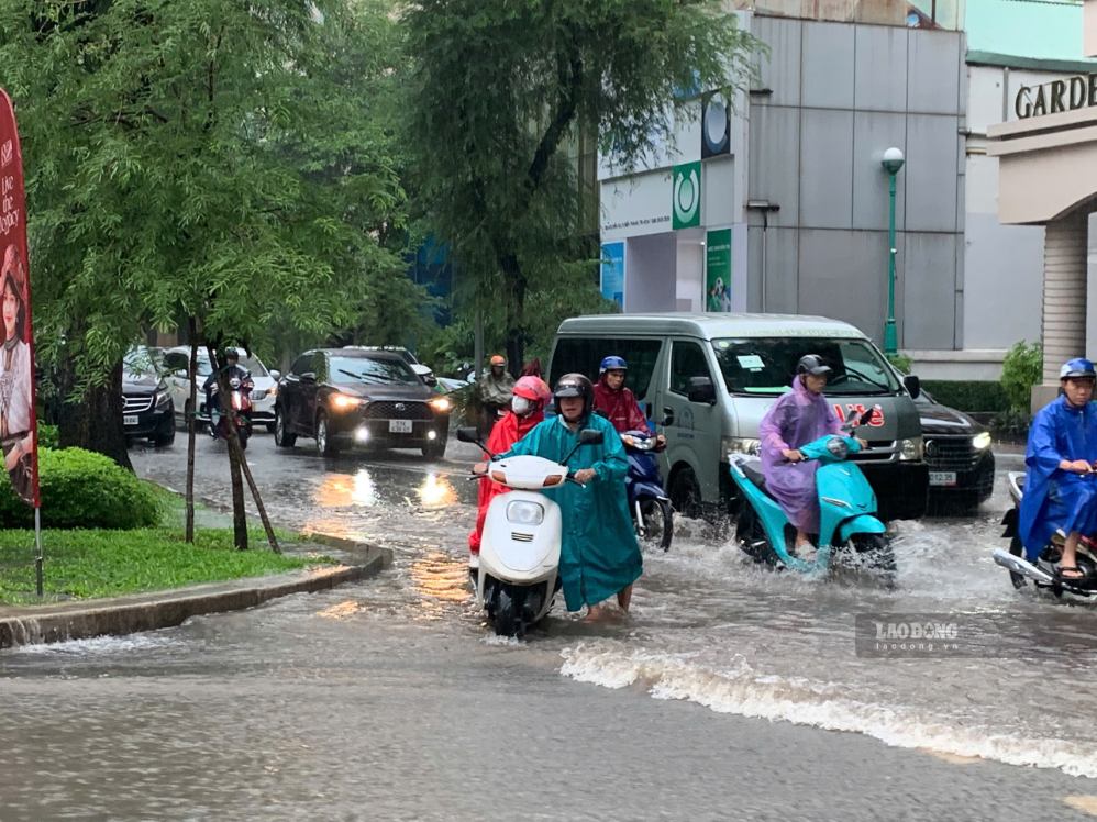
On Bui Vien street, an area that is usually crowded with shops and tourists, scenes of rainwater flooding the road surface were also recorded. Some business households had to temporarily raise their belongings in front of their doors to limit water inflow.
Many people said that heavy rain appeared in a short time, causing some roads to quickly be flooded. Some vehicles stalled when traveling through this road section.
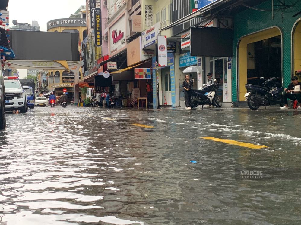
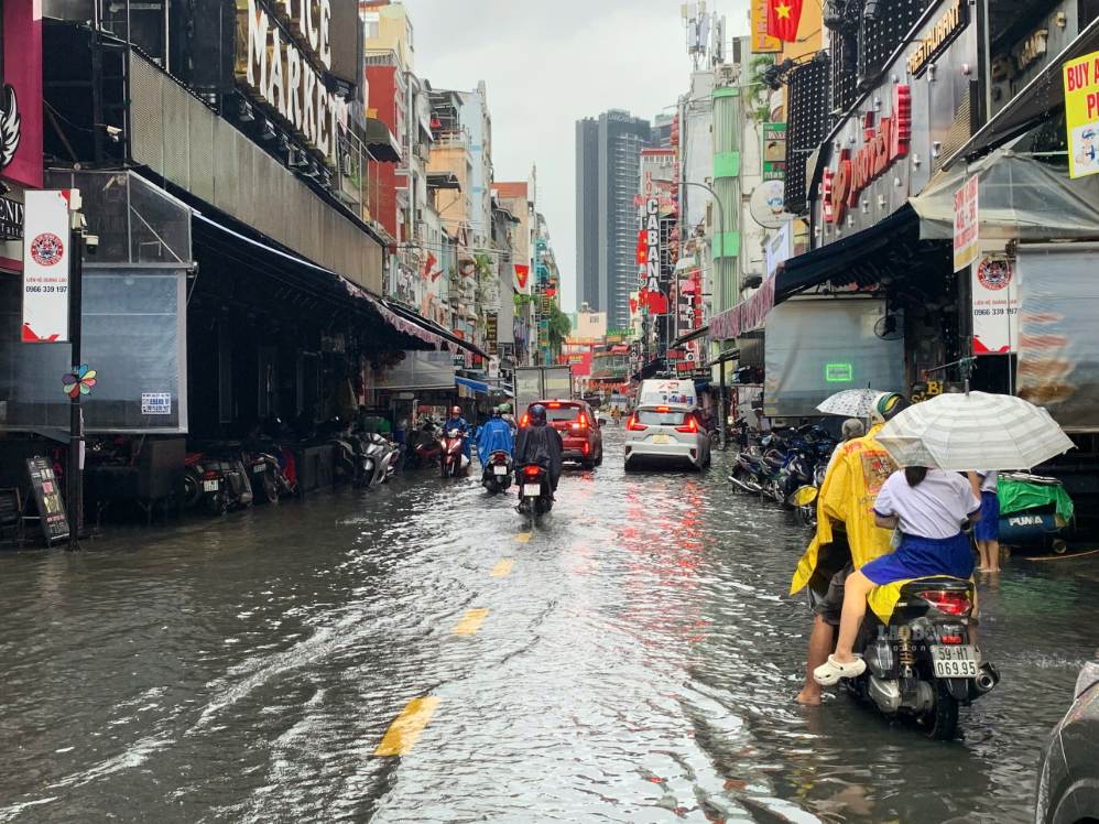
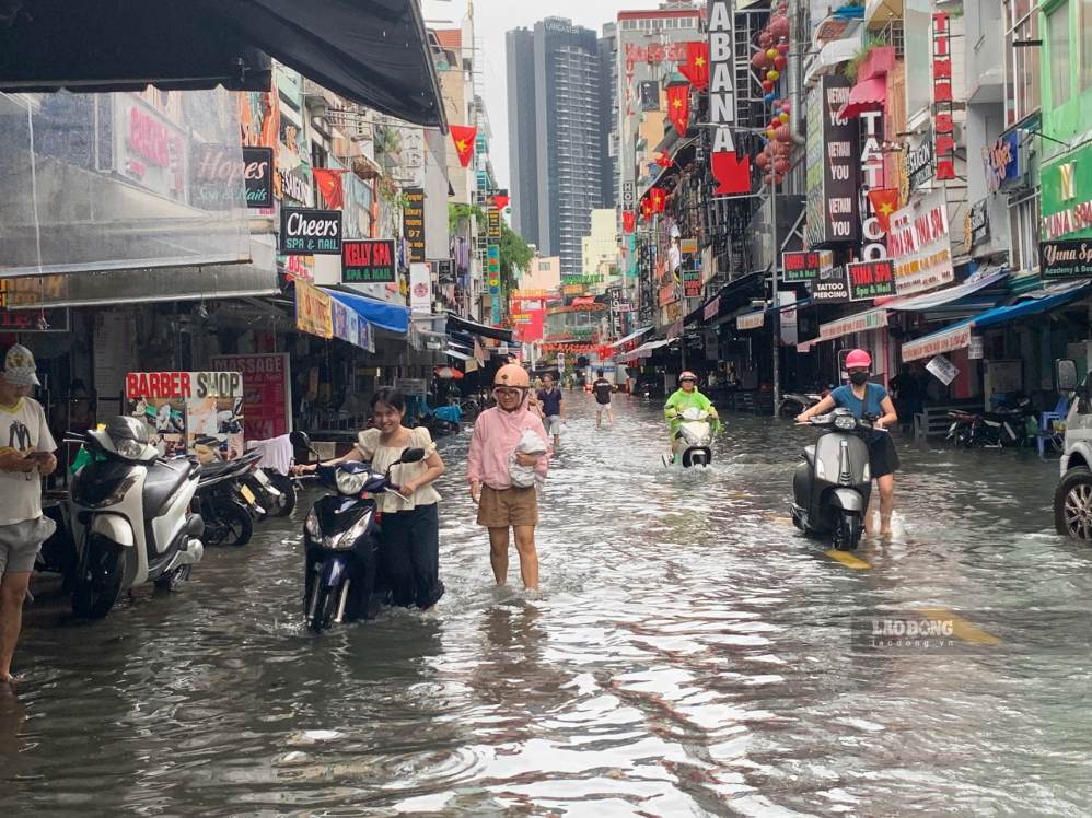
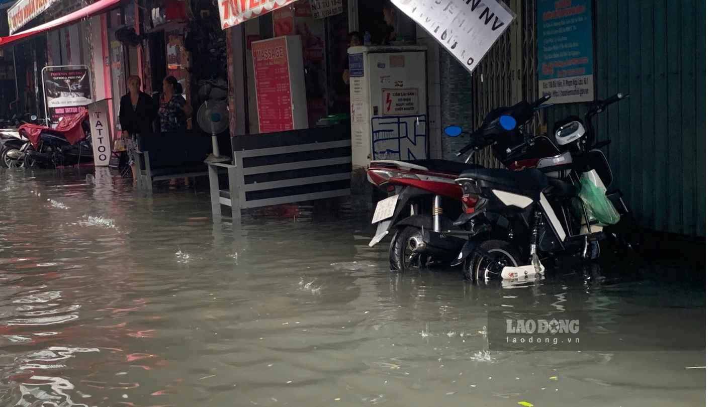
The rain caused the water to rise quickly, making it quite difficult to travel. Because I didn't know this road was flooded, I passed by and the car stalled" - Ms. Luu Khanh Huyen, living in Cau Ong Lanh ward, said.
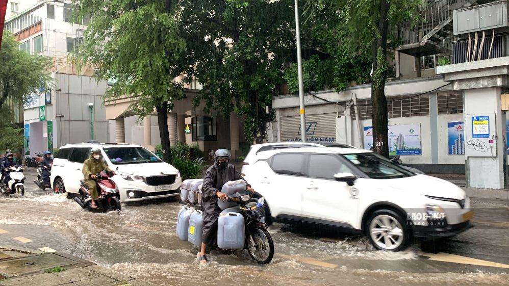
According to the Southern Hydrometeorological Station, in the next 3 hours, convective clouds will continue to develop, causing showers, accompanied by thunderstorms and lightning in many areas of Ho Chi Minh City. Areas likely to experience rain include Cho Lon, Phu Dinh, Binh Dong, Minh Phung, An Lac, Tan Phuoc wards... After that, the rain area may expand to neighboring areas.
Common rainfall is 5-30 mm, in some places over 50 mm. During thunderstorms, people need to be wary of tornadoes, lightning, hail and strong gusts of wind at level 5-7 (8-17 m/s). Heavy rain is likely to cause localized flooding in low-lying areas.
The weather pattern causing rain is due to a strong intertropical convergence zone with its axis through the South Central Coast and the South. The Southwest monsoon is weak to moderate intensity, while the convergence zone at sea tends to move towards the mainland of the South.


