On July 5, functional units and Road Construction Joint Stock Company I mobilized excavators, specialized vehicles and workers to clear landslide soil and rocks on National Highway 32.
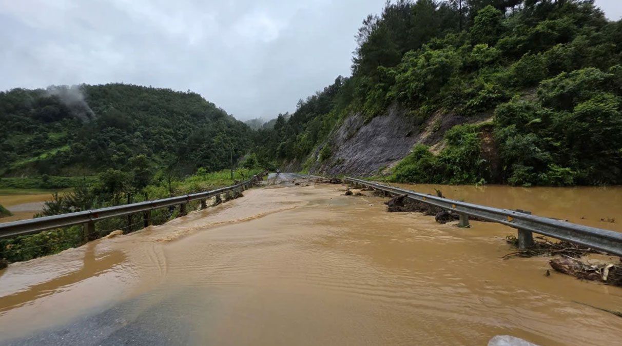
According to statistics, prolonged heavy rain has caused landslides at 19 points on National Highway 32, the section from Km285 to Km318, with a total volume of soil and rock estimated at more than 2,000m3.
Many locations were buried in soil and rocks, causing traffic jams and affecting people's travel.
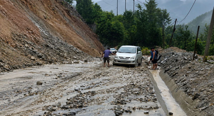
Among the landslide points, two locations at Km299 and Km305+900 experienced serious positive taluy landslides, causing local traffic paralysis for many hours.
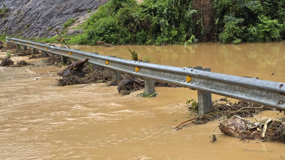
At the remaining 17 points, soil and rocks from the embankment overflowed into the road surface. Floodwater swept away trees and mud, silting up many drainage culverts, causing localized flooding. Some road sections were covered with mud, posing a potential risk of unsafety for vehicles.
Besides functional forces, people living along National Highway 32 also actively supported clearing soil and rocks, clearing the flow, contributing to speeding up the progress of overcoming the consequences.
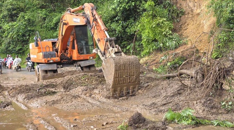
By the early afternoon of July 5, all 19 landslide points had basically been handled, National Highway 32 was reopened to traffic, and vehicles could circulate safely.
Faced with complicated weather developments, the road management unit recommends that people and drivers when traveling on National Highway 32 need to reduce speed, maintain a safe distance, especially in mountainous passes, high slopes and landslide-prone areas.


