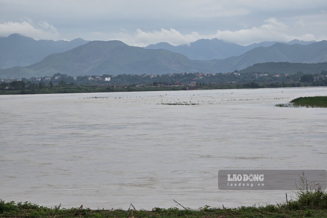
In recent weeks, when the rainy and flood season has entered, the water level of the Thao River (the main stream of the Red River) section passing through Lao Cai and Phu Tho provinces has no longer dried up to the bottom.
According to the National Center for Hydro-Meteorological Forecasting, in June, a flood appeared on the Thao River with an amplitude of water rising from 1.5 - 3m in the early period, and a fluctuation with an amplitude of 0.5 - 1m in the late period.
According to monitoring data, in June, the water level of the Thao River at Yen Bai station (belonging to Lao Cai province) averaged at 24.28m, the lowest at 23.66m, and the highest at 26.48m.
For Phu Tho station, the water level of the Thao River in June averaged 11.81m, the lowest was 11.06m, and the highest was 13.28m.
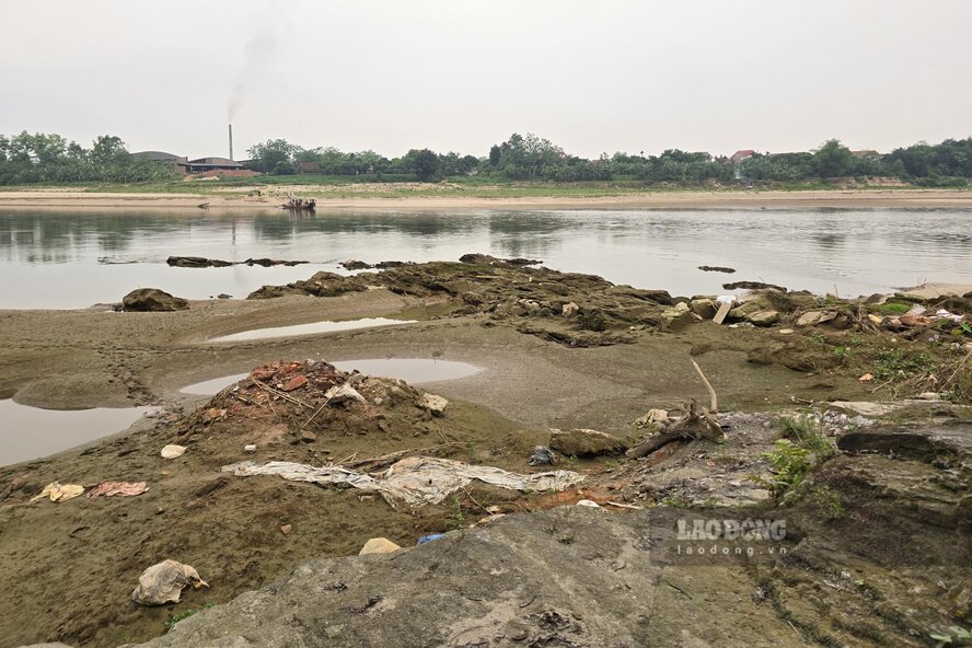
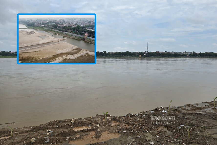
According to the reporter of Lao Dong Newspaper on the morning of May 7, on the Thao River in Phu Tho, the alluvial grounds and sand dunes in the middle of the river a few months ago at a time of drying out - have now disappeared under the floodwaters.
On July 5, the water level of the Thao River at Yen Bai station and Phu Tho station is continuing to decrease. According to monitoring data, at Yen Bai station, at 7:00 am on July 5, it was at 25.77m; at Phu Tho station at the same time, it was 12.80m.
Mr. Vu Dinh Thinh - a resident living in the Ngoc Thap bridge resettlement area, Phong Chau ward - shared: "A few months ago, in the dry season, the water level of the Red River was record low, now entering the flood season, hopefully there will be no records of water levels broken this year".
According to the forecast bulletin, long-term hydrographic warning of the National Center for Hydro-Meteorological Forecasting (from July 1, 2026 - July 31, 2026), in July, there is a possibility of 2-3 floods on the Thao River.
Forecast, the water level of the Thao River at Yen Bai station in July is on average 25.50m, the lowest is 24.00m, the highest is 30.50m. For Phu Tho station, the average is forecast to be 12.40m, the lowest is 11.50m, the highest is 15.00m.
Thus, although the water level of the Thao River in July will be higher than in June and floods are forecast to occur, with the above level, it can be seen that the floods will not be able to reach the alarm levels.


