
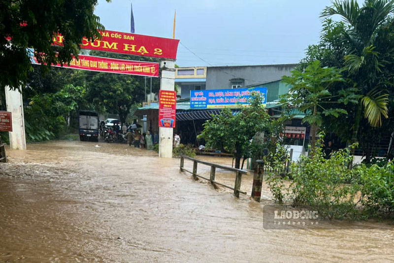
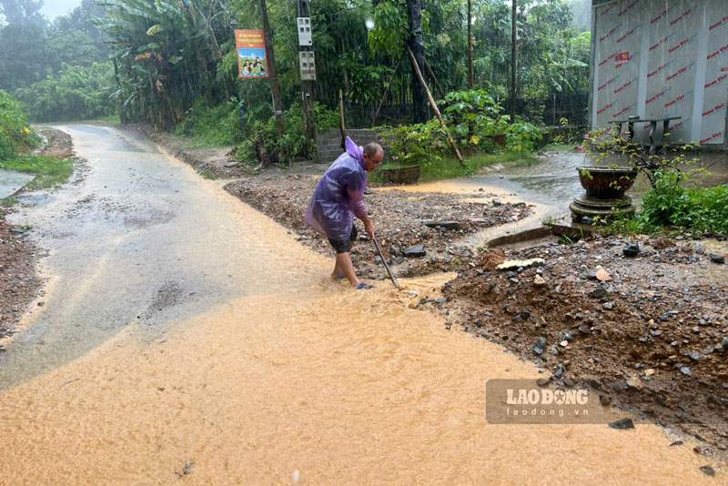
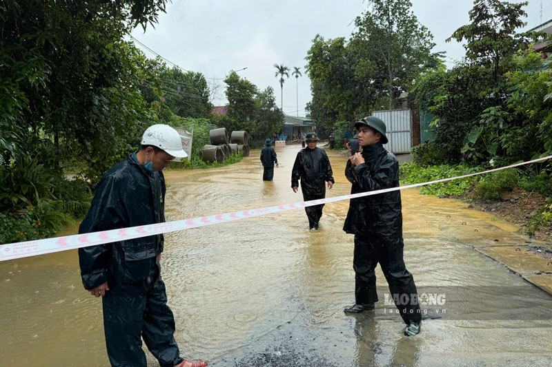
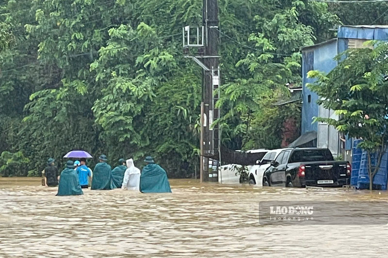
On the evening of August 3rd, according to a quick report from the People's Committee of Coc San commune and the People's Committee of Lao Cai ward, heavy rain accompanied by thunderstorms occurring from dawn to about 9 am on August 3rd caused flooding and landslides in many areas, affecting traffic, production and people's lives.
In Coc San commune, natural disasters affected 7/15 villages including Luong Lao, Tong Chu, Tong Chu 3, Tong Mon, Cum Thuong, Cum Ha 1 and Cum Ha 2.
The locality has not recorded any casualties, but 8 houses were affected, of which 7 houses were flooded and 1 house was landslide, damaging auxiliary works.
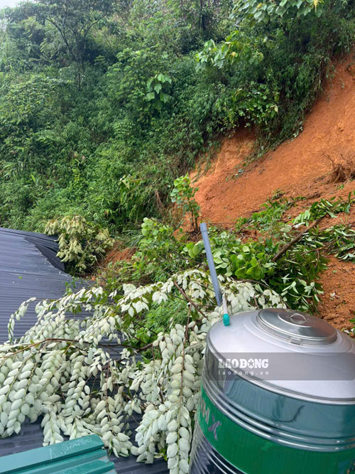
Notably, 16 households are located in areas at risk of landslides behind houses. Faced with dangerous developments, the government has organized the evacuation of 24 households with 96 people to safe places.
By the time of reporting, 13 households had returned home, and 11 households were still temporarily staying.
Heavy rain also damaged about 2.5 hectares of crops and 1.6 hectares of aquaculture area. Seven inter-village roads were flooded, but the water has receded, and traffic has basically been restored.
Initial total damage is estimated at about 3.1 billion VND.
Meanwhile, in Lao Cai ward, heavy rain caused localized flooding in residential group 2 Duyen Hai, the area of Dien Bien street intersecting Thu Dau Mot, Hoang Dieu street and the area of the gate of Duyen Hai Primary School on Tran Thanh Tong street.
Many landslide points appeared on Doan Thi Diem, Dam Quang Trung, Hoang Dieu streets, National Highway 4D towards Sa Pa and the road to Duyen Hai cemetery.

In particular, the road leading to the spiritual hill was flooded with about 200m3 of soil and rocks, causing traffic jams and potentially affecting many graves.
Immediately after the natural disaster occurred, the locality mobilized about 250 people including civil defense forces, police, military, security and order teams and related units to participate in supporting people to move property, handle landslide points, collect fallen green trees and ensure traffic.
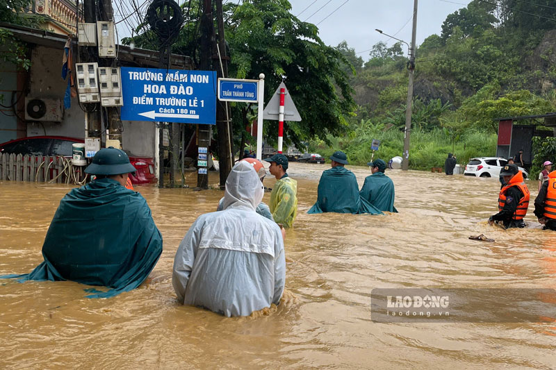

Currently, the People's Committee of Lao Cai ward is continuing to review and statistically assess the damage caused by heavy rain to summarize and report to functional agencies.
Along with that, the authorities of the two localities are monitoring weather developments, reviewing areas at risk of landslides, updating damage and implementing remedial measures to ensure safety for people.
According to Lao Cai Provincial Hydrometeorological Station, in the past 24 hours (from 2:00 PM on August 2nd to 2:00 PM on August 3rd), many areas recorded very heavy rainfall such as Coc My 2 (150.6mm), Lieu Do (138.2mm), Coc San (128.2mm), Quang Kim (124.2mm), Tan Phuong 2 (113.4mm) and An Phu (91.4mm).
The soil moisture model shows that many areas in the province are near saturation or have reached saturation status, increasing the risk of natural disasters.
In the next 6 hours, Lao Cai will continue to have rain with common rainfall from 10-30mm, in some places over 50mm.
The meteorological agency warns of the risk of flash floods on small rivers and streams; landslides on hillsides, traffic taluys; land subsidence and flooding in low-lying areas, especially in areas that have been identified as high-risk.
The level of natural disaster risk due to flash floods, landslides, and subsidence is warned at level 1.
People need to closely monitor weather developments, limit going through deep flooded areas, taluy areas at risk of landslides and comply with the instructions of local authorities.


