
On August 5, Lao Cai Provincial Hydrometeorological Station issued a warning about the risk of flash floods on small rivers and streams; landslides at hillsides, traffic road slopes; land subsidence and flooding in low-lying areas in the province in the next 6 hours.
According to the meteorological agency, in the past 6 hours (from 11 pm on August 4 to 5 am on August 5), many localities recorded moderate to very heavy rain.
Some places had heavy rainfall such as Xuan Hoa 75.8mm, Gia Hoi 72.6mm, Xuan Hoa (Tan Duong 1 point) 67.2mm, Lam Thuong 59.2mm, Mo Vang 57.4mm, Coc Lau 54.6mm, Muong Lai 51.4mm and many other areas recorded rainfall over 40mm.
Soil moisture monitoring results show that many areas in the province have almost reached or reached saturation status (over 85%). This is a condition that increases the risk of flash floods, landslides and subsidence when heavy rain continues.
In the next 6 hours, Lao Cai is forecast to continue to have rain with common rainfall from 10-30mm, in some places over 70mm.
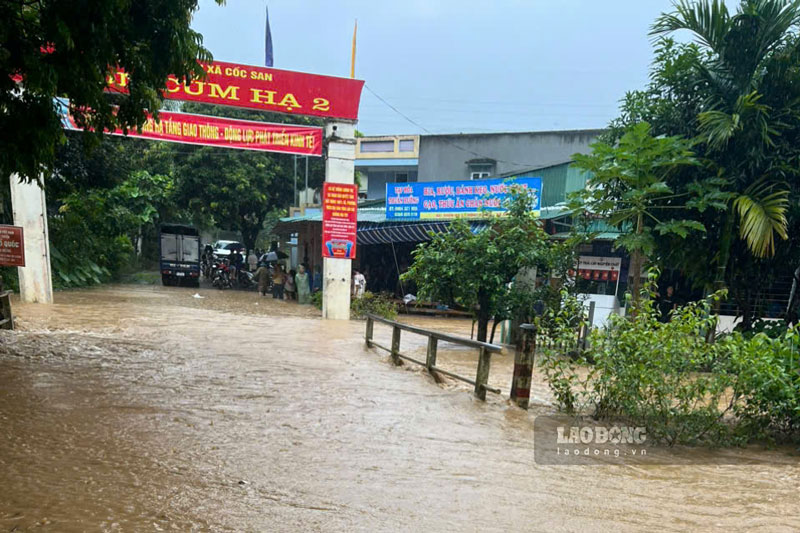
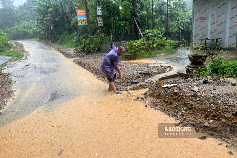
Therefore, the risk of flash floods on small rivers and streams; landslides on hillsides, traffic taluys; land subsidence and flooding in low-lying areas in many localities is at a noteworthy level, especially in villages, hamlets, residential groups and points that have been identified as high-risk.
Lao Cai Provincial Hydrometeorological Station assessed that the level of natural disaster risk due to flash floods, landslides and subsidence due to rain, floods or currents is level 1.
Functional agencies also warned that flash floods, landslides and flooding can cause damage to people and property, causing traffic jams, damage to infrastructure works, affecting life, production and socio-economic development.
People are advised to regularly follow weather forecasts and warnings; proactively check their living areas, limit movement through areas at risk of landslides or deep flooding, and comply with the instructions of local authorities to ensure safety.


