
4 large hydropower reservoirs in Da Nang have not yet discharged overflows
According to reservoir operation data on the PMIS system, at 10:00 AM on September 13, the actual water level of A Vuong hydropower reservoir at the time of observation was at an elevation of 350.46m, while the normal water level (normal operating water storage threshold according to design) was 380m. The inflow to the reservoir reached 791.47m3/s, the highest among the 4 reservoirs updated, but the total discharge amount was still 0.
Song Bung 2 Lake has a water level of 579.5m, 25.5m lower than the normal water level (605m); inflow to the lake is 511.48m3/s. Song Bung 4 Lake is at 207.13m, 15.37m lower than the normal water level, inflow to the lake is 96m3/s.
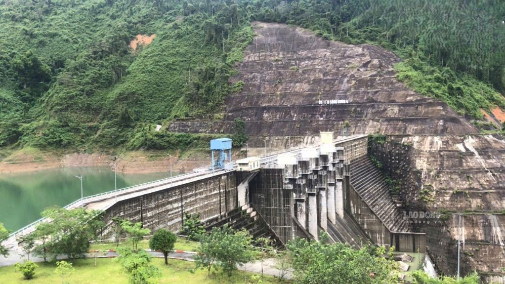
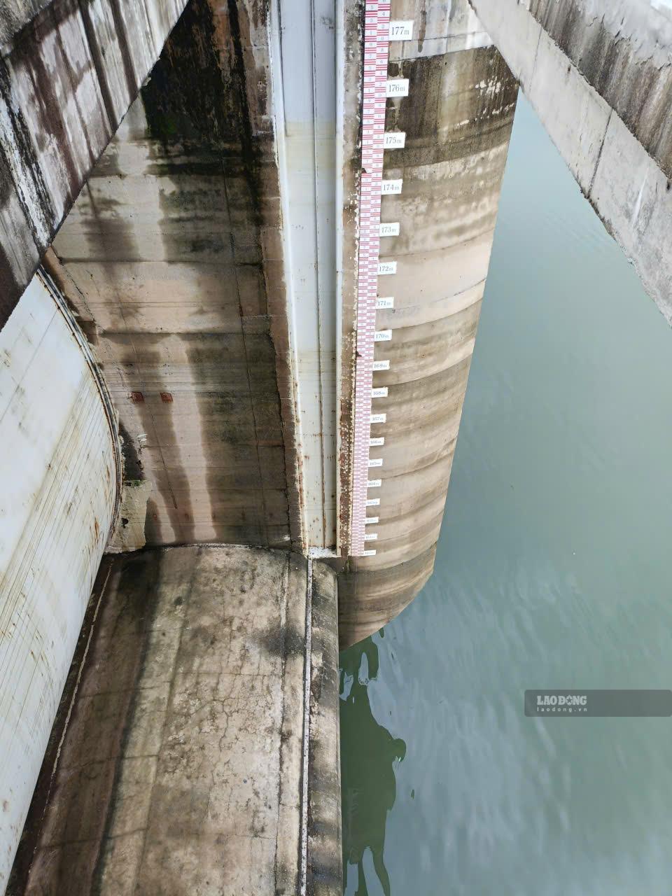
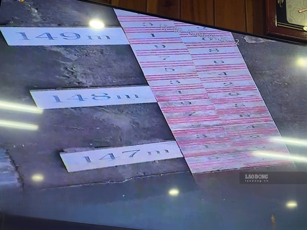
For Song Tranh 2 reservoir, the water level is 146.7m, while the normal water level is 175m; inflow to the reservoir is 100.21m3/s. All 4 reservoirs have not yet discharged through the spillway dam, and there is no inflow through the plant.
Representatives of the Song Tranh 2 hydropower operating unit said that the reservoir currently has capacity to receive more water, not yet discharged through the spillway. The unit is maintaining 24/24 hour operation duty, closely monitoring rainfall and water flow to the reservoir; if operating mode is changed, it will be promptly notified to the authorities and people in the downstream area.
Representatives of hydropower plants in the Song Bung basin also said that the reservoirs currently still have flood reception capacity and have not discharged through spillways. On-duty and monitoring work is maintained continuously; regulation, if it occurs, will be carried out according to the correct procedures and informed in advance to the downstream area.
The downstream area still has to be vigilant
In the past 24 hours, Da Nang has had heavy to very heavy rain, common rainfall of 50-150mm; especially coastal plains and southwest mountainous areas reached 150-300mm, in Cau Lau up to 362.6mm. On September 13, rain tended to decrease, but in the north of the city, there were still over 80mm in some places, and in the south there were over 50mm in some places. The meteorological agency continues to warn of the risk of flash floods, landslides in mountainous areas and flooding in low-lying areas.
The tropical depression over the sea area of Quang Tri - Da Nang also continues to cause dangerous weather. At 4:00 AM on September 13, the center of the tropical depression was about 120km northeast of Da Nang, wind force level 6, gusts level 8.
According to the Da Nang Smart Monitoring and Operation Center (IOC), last night the rain decreased. Radar photo taken at 5:30 am on September 13, the sky was not cloudy, only 1/84 Rain Stations recorded 0.75m of flooding in Hoa Nhon.
Faced with this development, Da Nang requests irrigation and hydropower reservoir management units to be on duty 24/24 hours, closely monitor rainfall, water levels and operate according to procedures; and promptly notify downstream areas when there are changes in regulation regimes. Localities must be ready to evacuate people, set up checkpoints in deep flooded areas, underground spillways and points at risk of flash floods and landslides.


