
At 3:30 pm on August 23, the National Center for Hydro-Meteorological Forecasting issued an emergency flood bulletin in the downstream of the Luc Nam River and downstream of the Thuong River.
Accordingly, floods in the downstream of the Luc Nam and Thuong rivers (Bac Ninh) tend to increase. The water level at 1:00 PM on August 23rd on the Luc Nam River at Luc Nam station was 6.63m, 0.33m above alarm level 3; at the same time, the water level of the Thuong River at Phu Lang Thuong station was 5.80m, 0.5m above alarm level 2.

Forecast, downstream floods of the Luc Nam and Thuong rivers will continue to rise and be above alarm level 3. In the next 12 to 24 hours, downstream floods of the Luc Nam and Thuong rivers will still fluctuate above alarm level 3.
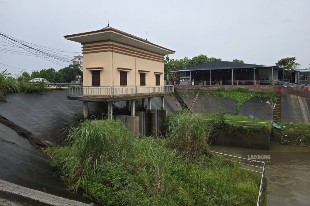
With the Thao River - the main stream of the Red River, according to Lao Dong Newspaper reporters' records on the afternoon of August 23 in Phu Tho, although the area has also been raining for many days, water from the tributaries and some pumping stations is pouring in, but the water level of this large river has not changed much.
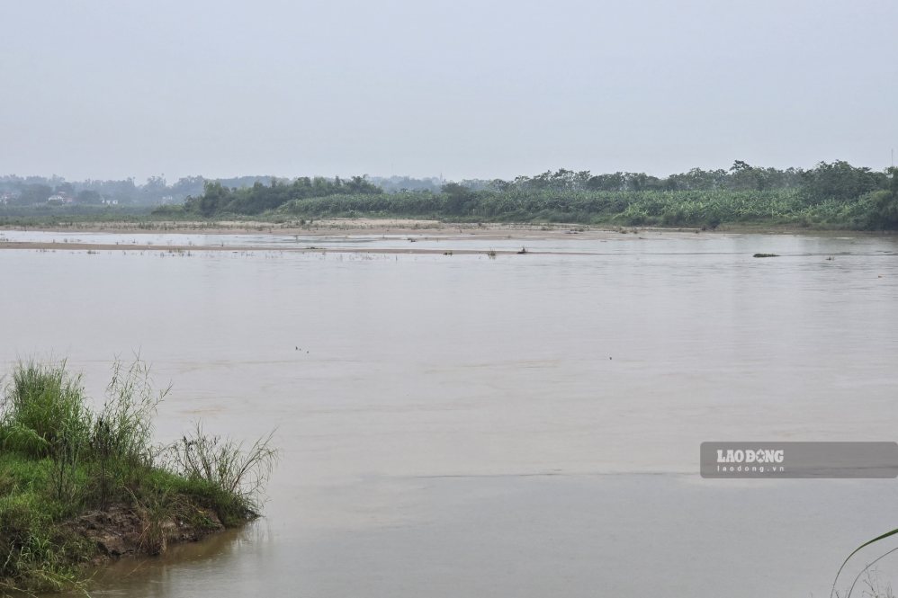
Mr. Tran Van Ton - owner of Tinh Cuong ferry wharf (connecting Chi Tien commune with Hung Viet commune, Phu Tho province) - said that in recent days the river water has been at a high level and rising slowly. The current water level is more favorable for ferry/boat operation than when the water is shallow.
Even so, we still continuously update weather and hydrological forecasts, because floods can come at any time. Our ferry/boat operating teams always remind each other to pay attention to everything, from river water levels to machinery, gasoline, passengers... everything must be safe" - Mr. Ton shared.
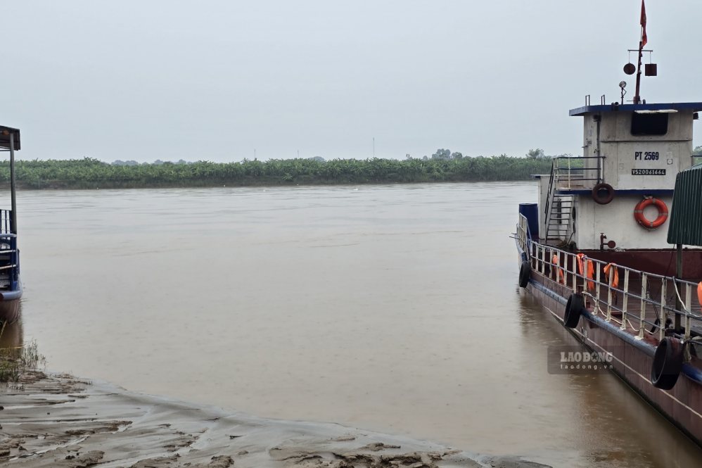
According to the Forecast Bulletin, short-term hydrographic warning on August 23 of the National Center for Hydro-Meteorological Forecasting, the water level of the Thao River at Yen Bai station (Lao Cai province), Phu Tho station is and will continue to change slowly.


