
All data is directly extracted from the automatic monitoring station system managed and operated by Hanoi Drainage One Member Limited Liability Company. The rain situation and flooded point depth are continuously updated in real time (standards according to each millimeter of rainfall and meter of depth).
Mini App is integrated directly on iHanoi - where there are 6,484,000 user accounts.
Mini App is visualized with a standard color scale, helping people assess the level of danger in just a few seconds.
Along with that, allowing flexible switching between street interfaces, morning, evening, satellite and proactively searching by address, street name or specific measuring station.
Users do not need to open the application to receive notifications. When a flooded area or heavy rain occurs in the installed area, the system will automatically turn on a detailed warning (Popup) to help people actively change direction of movement.
In particular, users can set the message receiving time frame (e.g. 7am - 7pm) to avoid being disturbed outside of working hours or at night.
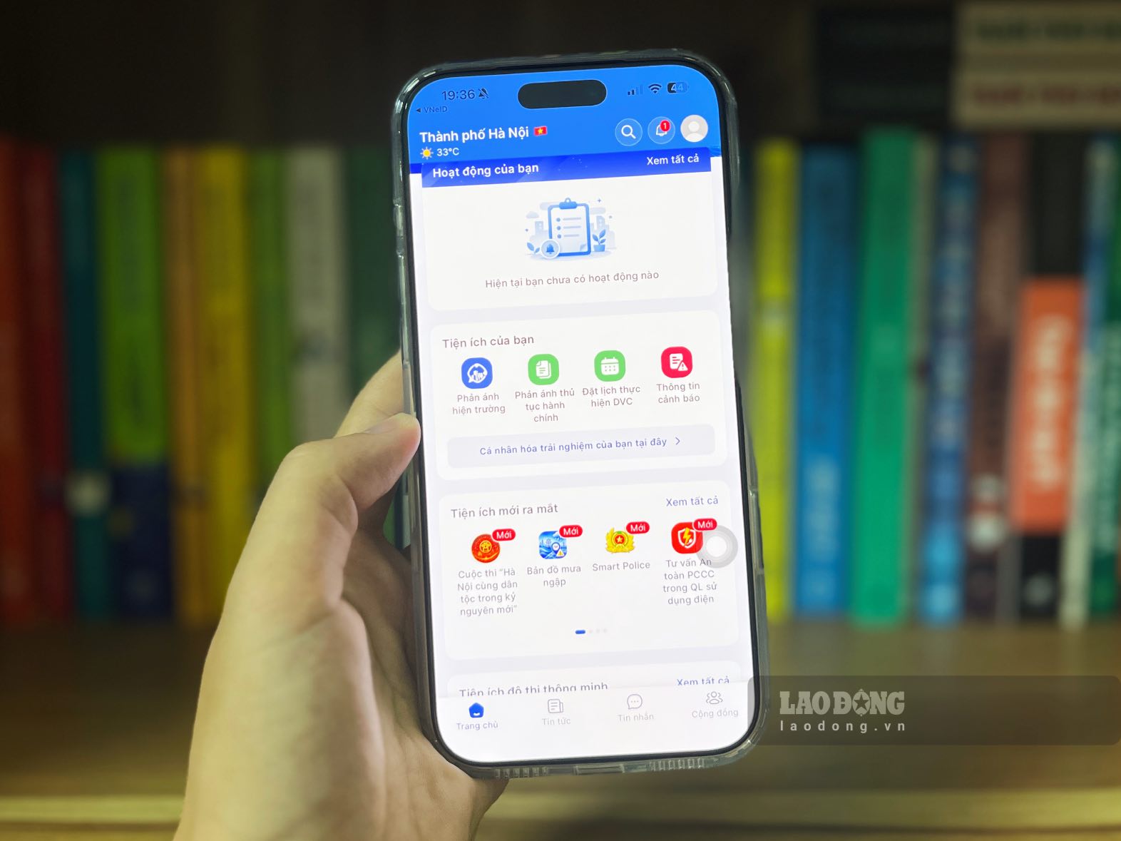
The operation of the Mini App "Rain and flood map" helps technology drivers, shippers, transport businesses and people proactively coordinate reasonable travel routes; minimize vehicle repair costs due to engine failure, property damage; avoid the risk of accidents due to flooding obscuring manholes, potholes, and strong currents.


