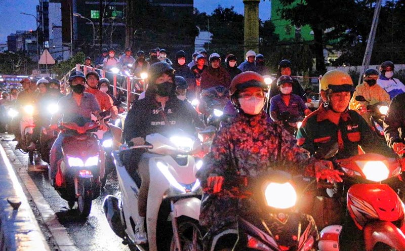
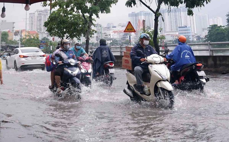
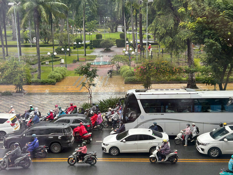
On the morning of September 22, many places in Ho Chi Minh City had thunderstorms, affecting many traffic routes such as Nguyen Thi Minh Khai, Ba Thang Hai, Cach Mang Thang Tam...
According to the Southern Hydrometeorological Station, monitoring satellite cloud images, weather radar images and lightning positioning shows that thunderstorms are developing and causing rain with thunderstorms and lightning in An Thoi Dong commune, Thoi An ward, Lai Thieu ward, Binh Hoa ward, Thuan An ward, An Phu ward, Tan Dong Hiep ward, Tan Khanh ward, Tan Uyen ward, Thuong Tan commune, Phuoc Thanh commune, Dau Tiet commune, An Long commune, Phu Giao commune, Suoi Sau commune, Dong Sen commune, Minh Thanh commune, Hoa Thanh commune, Hoa Hiep commune...
In the next 0-3 hours, thunderstorms will continue to develop, causing showers, accompanied by thunderstorms and lightning in the above areas, then expanding to other neighboring areas.
Rainfall is generally from 2-10 mm, in some places over 10 mm. During thunderstorms, beware of tornadoes, lightning and strong gusts of wind of about level 5-7 (8-17 m/s), heavy rain causing local flooding.
The thunderstorms are caused by the tropical convergence zone with an axis across the North Central region connecting with the circulation of storm Rasaga. Above, the subtropical high pressure with an axis crossing the South Central region is operating stably. The southern branch of the subtropical high pressure crosses the South.
During the day and tonight, the Southern region will have showers, rainfall of 15-30 mm, locally heavy to very heavy rain over 100 mm.