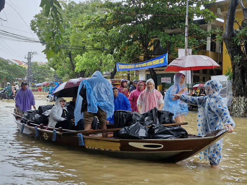
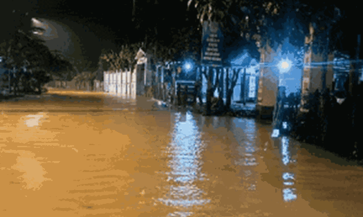
At noon on October 27, Tran Hung Dao Street (Hoi An Ward, Da Nang) was deeply flooded, many sections were completely isolated.
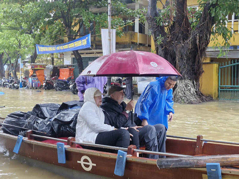
Mr. Nguyen The Hiep (36 years old, character name requested change) - a tour guide in Hoi An - shared that, fearing that floodwaters would continue to rise, many homestay and hotel owners in Hoi An are also urgently taking tourists to safe areas to avoid the risk of prolonged power outages.
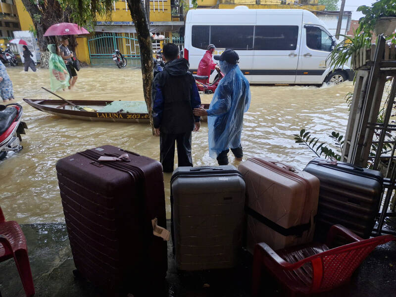
Since the morning of October 27, Mr. Hiep has also evacuated 6-8 groups of visitors. He also supported the transportation of foreign groups and their belongings to a safe place when their stay had expired.
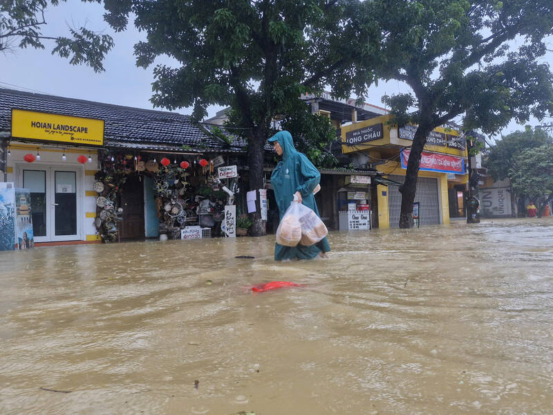
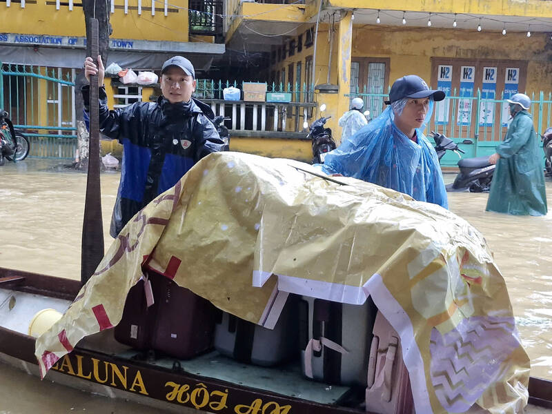
Seeing the heavy rain and floodwaters rising day by day, Mr. Le Van Huan - a hotel employee in Hoi An ancient town - is also urgently helping his colleagues move a series of suitcases to tourists on a boat. According to Mr. Huan, from the evening of October 26, the water rose very quickly, but due to the darkness and danger, the accommodation unit waited until today to be able to take guests away.
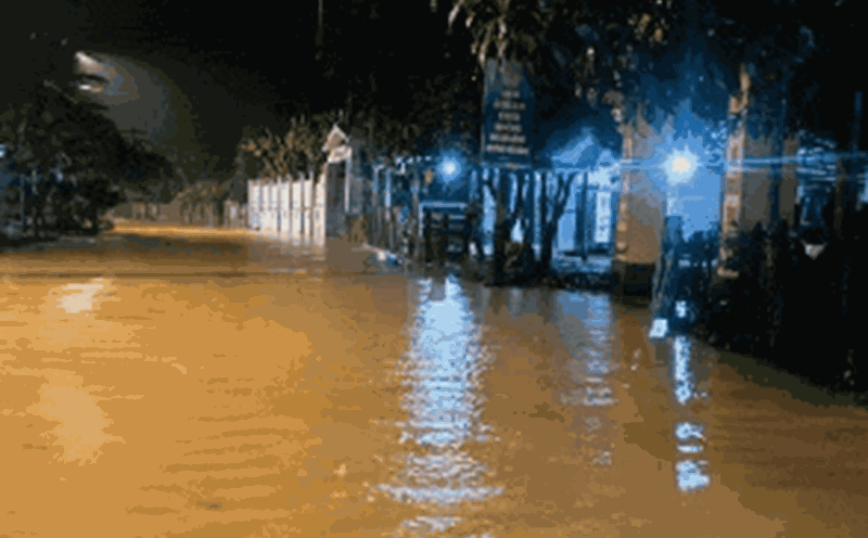
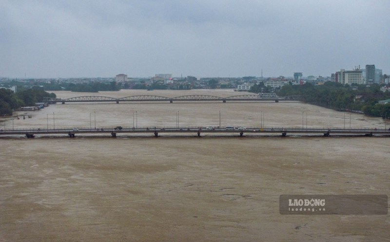
According to Lao Dong, on October 27, prolonged heavy rain combined with flood discharge from upstream hydropower plants caused the water level of the Hoai River to rise, causing serious flooding in Hoi An ward (Da Nang).
Information from the People's Committee of Hoi An Ward shows that the flood level at 4:00 a.m. on October 27 in Hoi An was 1.78 m and it is forecasted that in the next 12-24 hours, floods in Hoi An will exceed alert level III.
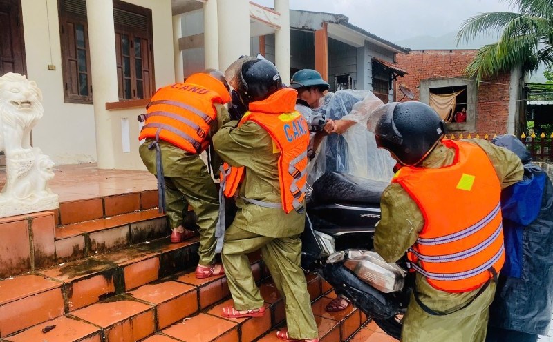
The People's Committee of Hoi An Ward also recommends that people limit travel on deeply flooded roads to prevent drowning accidents.
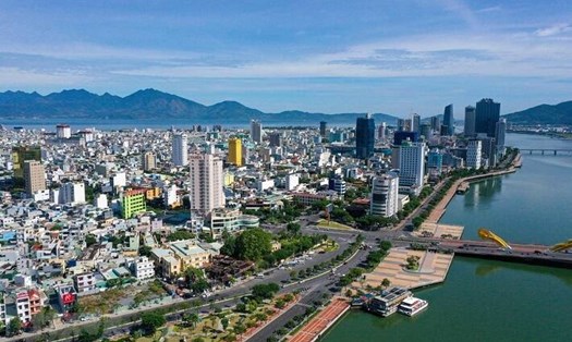
Also on the morning of October 27, the Central Hydrometeorological Station issued a flood notice on rivers in Da Nang City that was rising rapidly, causing many places in the city to be isolated due to deep flooding.
Accordingly, the water level at 8:00 a.m. on the same day on the rivers is as follows: Vu Gia River at Hoi Duoc was at 16.25m above alert level 2: 0.75m; at Ai Nghia was at 9.08m above alert level 3: 0.08m; Thu Bon River at Nong Son was at 16.42m above alert level 3: 1.42m; at Giao Thuy was at 8.54m below alert level 3: 0.46m; at Cau Lau was at 3.71m below alert level 3: 0.29mm; at Hoi An 1.84m below alert level 3: 0.16m; Han River at Cam Le was at 1.1m above alert level 1: 0.1m.
According to the Central Hydrometeorological Station, in the next 6-12 hours, floods on the Vu Gia - Thu Bon river will rise to an alarming level, the Han River will be above alert level 2, the Tam Ky River will be approximately at alert level 1.
In the next 12 - 24 hours, floods on the Vu Gia - Thu Bon River will continue to peak at above alert level 3, the Han River will be above alert level 2, then fluctuate at a high level, gradually decreasing below alert level 1 to alert level 2...