Flood warning on rivers in Phu Tho
At 11:05 on July 21, the Phu Tho Provincial Hydrometeorological Station (under the Northern Hydrometeorological Station) issued a flood warning on rivers in the province.
Accordingly, warnings from tonight and tonight (July 21) to July 25, on rivers and streams in the province, there is a possibility of a flood with a flood amplitude of 3-6m. During this flood, the peak water level on small rivers and streams is likely to rise to level BD2 - BD3.
On the Bua River at Thanh Son station, the possibility of level 2 - level 3; on the Thao River at Am Thuong station, it is possible to be at level 2 - level 3, at Phu Tho station, it is possible to be at level 1; on the Lo River at Vu Quang, Viet Tri, it is below level 1; on the Pho Day River at Quang Cu, it is possible to be at level 1 - level 2.
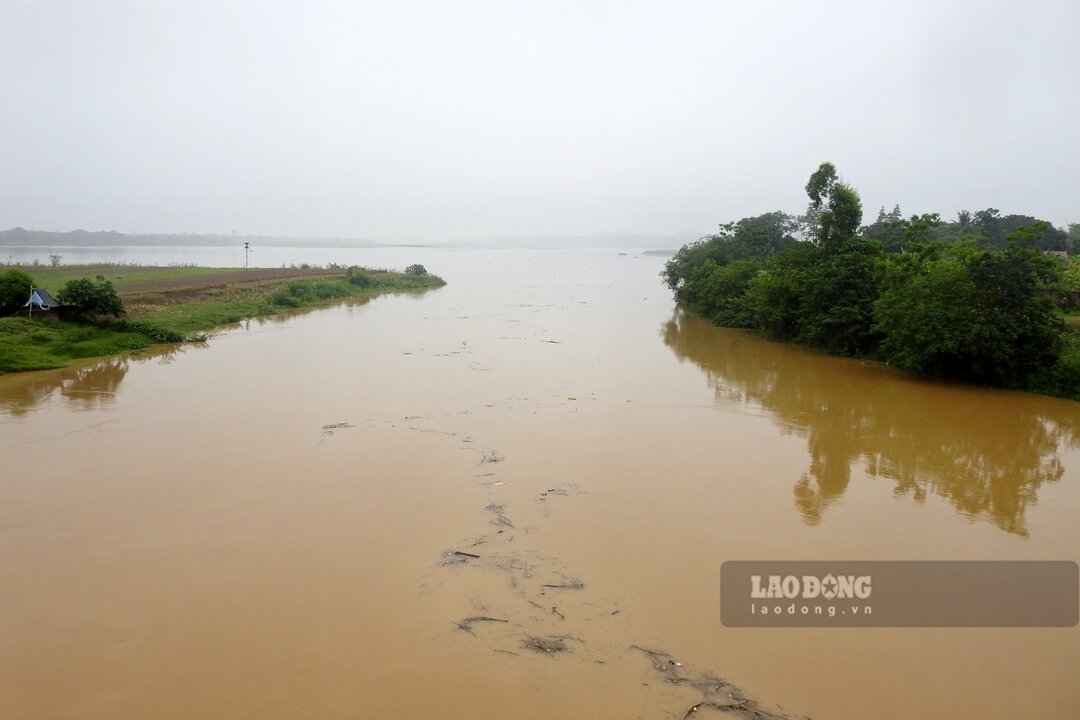
On the Da River in Hoa Binh and La Phu, the flood peak depends on the flood discharge operation of the Hoa Binh hydroelectric reservoir; on the Boi River in Hung Thi, it is likely to be at level BD1 - BD2; on the Bui River in Lam Son, it is likely to be at level BD1 - BD2.
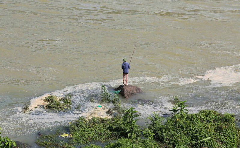
Rising river water levels can cause flooding in low-lying areas along the river, affecting waterway traffic activities, aquaculture facilities, agricultural production, works under construction, sand and gravel mining activities and bank erosion, and landslides on both sides of the river.
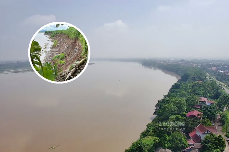
In particular, landslides on river banks need to be prevented and combated by localities when floods rise in the coming days, because just a few days ago, the left dike section of Thao River (Red River) from Km72 - Km73+200 in Thach Son commune, the old Lam Thao district (now Lam Thao commune) had a landslide with a length of about 1.2km, an average width of about 40m.
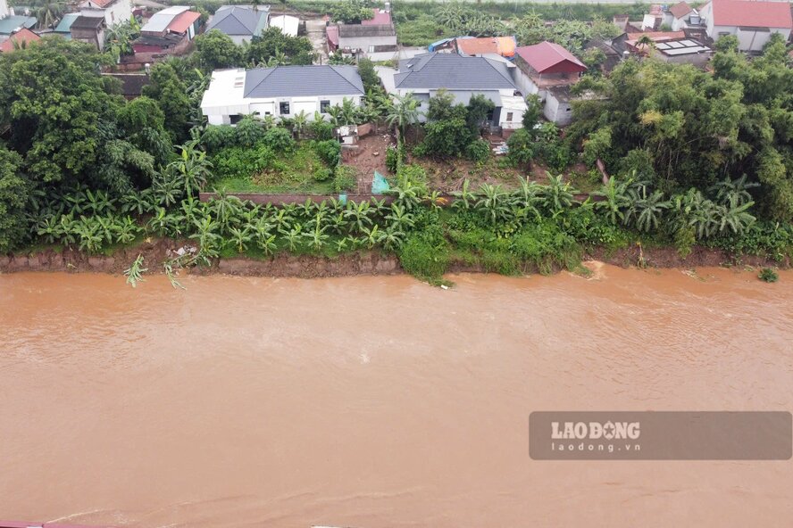
The most serious of which is the section from Km72+800 - Km73+100 with deep whirlpools, landslides of about 60m of alluvial plain, eating deep to the foot of the embankment, only 8 - 10m from the top of the embankment...
Looking back at the landslides on the Red River bank in Phu Tho
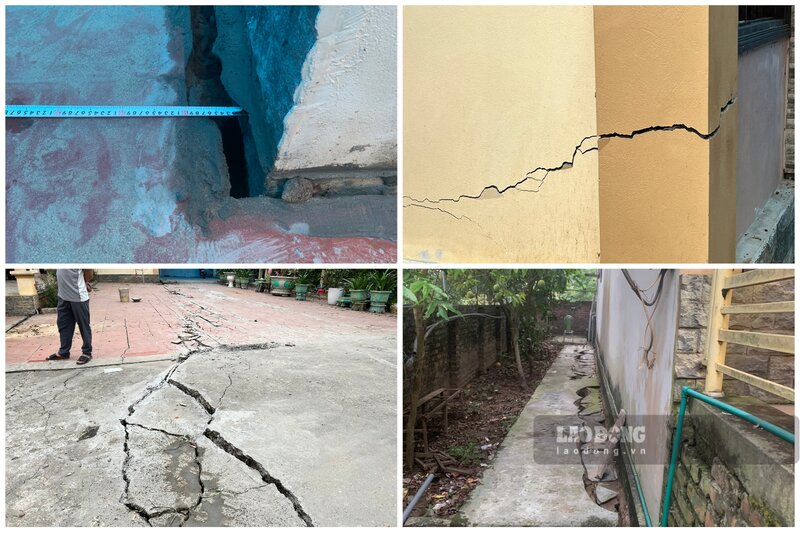
In recent years, there have been many landslides on the banks of the Red River, causing damage to crops and property, threatening the safety of people as well as infrastructure works along the river.
After that, the state had to spend tens, even hundreds of billions of VND to handle and overcome.
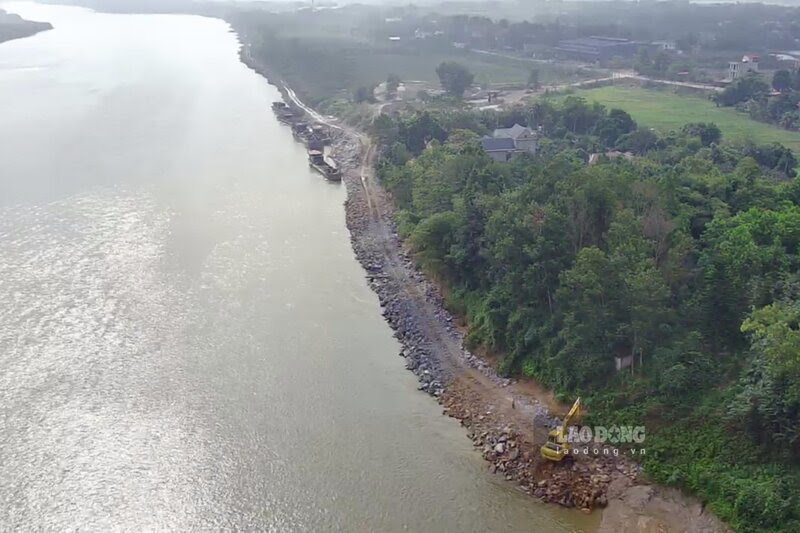
Previously, in August 2024, riverbank landslides also occurred in Ban Nguyen commune, the old Lam Thao district (now Ban Nguyen commune) with a length of about 250m, about 10m wide, and about 80m from people's houses.
After that, the 75 billion VND project to urgently handle the landslide incident in Ban Nguyen was implemented to select a contractor and construct.
Just a few kilometers away, in November 2023, the 1km long left dike section of the river through Phung Nguyen commune, the old Lam Thao district (now Phung Nguyen commune) also suffered serious landslides, the embankment foot was deeply eroded, the embankment top appeared slippery, especially with a landslide at Km79+350 - Km79+500 just a few meters from National Highway 2D, directly threatening the safety of 7 households.
Immediately afterwards, the project to build an emergency embankment here was implemented, with a total investment of 20 billion VND.
Also in 2023, the nearly 2km long bank of the Red River through Au Co ward, Thanh Minh commune, Phu Tho town (old, now Au Co ward) suffered a serious landslide in the section Km61.4 - Km63 of the left Thao dike, sweeping over 20 hectares of people's crop growing land, directly threatening the safety of 18 houses, affecting over 300 households along the river.
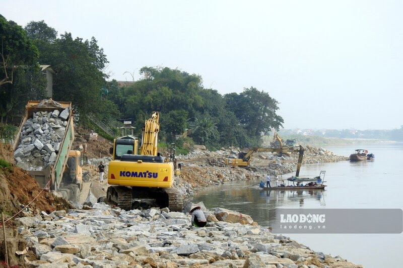
After that, an emergency embankment project to handle landslides with a total investment of about 100 billion VND was implemented here.
These are some of the many landslides on the Red River bank in Phu Tho that Lao Dong Newspaper has reported in recent years. In the face of the unpredictable developments of storm No. 3 Wipha in the coming days, localities in Phu Tho province need to proactively respond and deploy measures to ensure the safety of people in areas at risk of riverbank landslides.