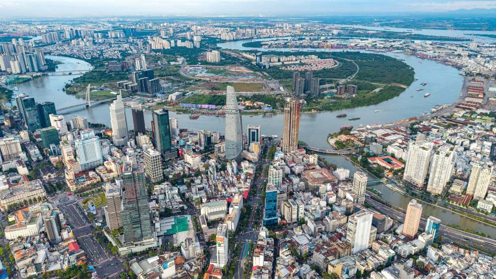
In the South, Nguyen Van Linh Avenue (nearly 18km long) plays the role of "backbone", being the gateway connecting this area with the center and the Mekong Delta provinces. Along this road, Phu My Hung urban area has transformed the flooded land into a synchronous residential area, becoming the first modern urban model of Vietnam.
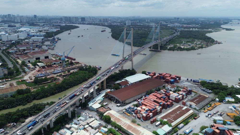
In order to directly connect the South with Cat Lai port and external traffic routes, Phu My bridge was put into operation in 2009. This cable-stayed bridge helps synchronize traffic in the two areas, replacing moving around the center.
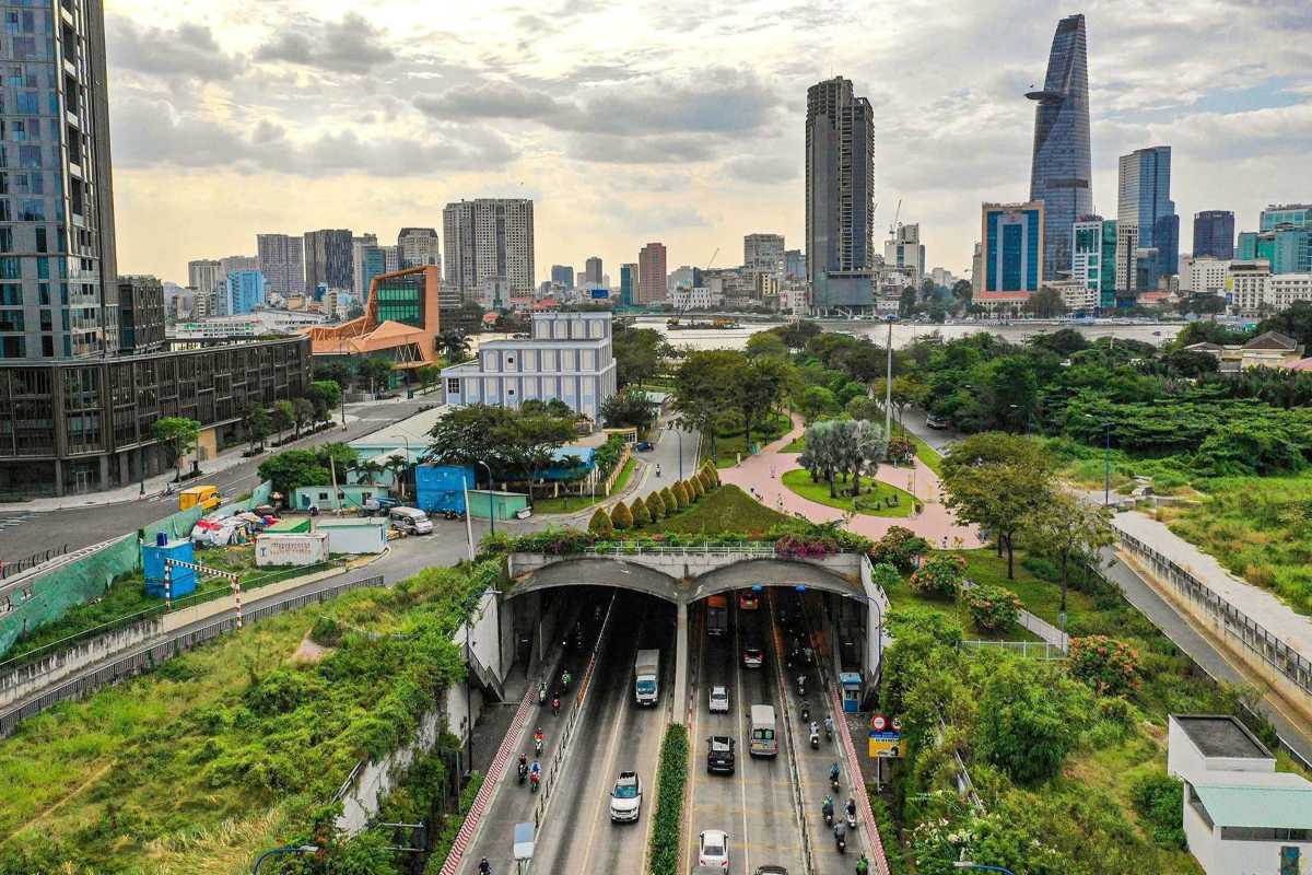
In the East, Thu Thiem peninsula was originally a alluvial land, mainly connected to the center by ferry. The infrastructure turning point appeared when the city built the East-West Highway (now Vo Van Kiet street, nearly 22km long) combined with the Saigon River tunnel (Thu Thiem tunnel, inaugurated in 2011). This is the longest submerged river tunnel in Southeast Asia at the time of completion. Along with the Thu Thiem 1 bridge system, Ba Son bridge and Saigon bridge, a synchronous infrastructure network has promoted the Eastern region to become a large-scale financial and commercial center.
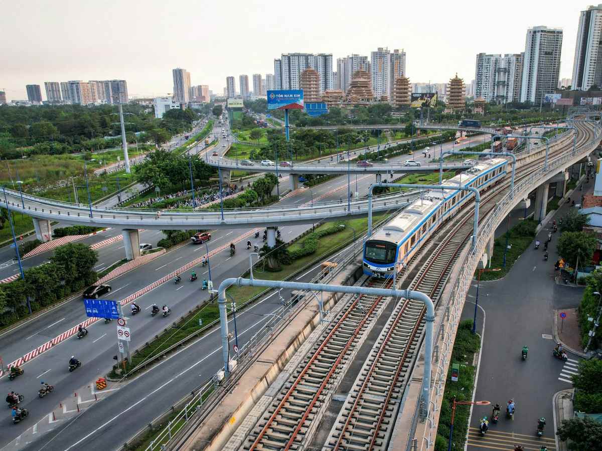
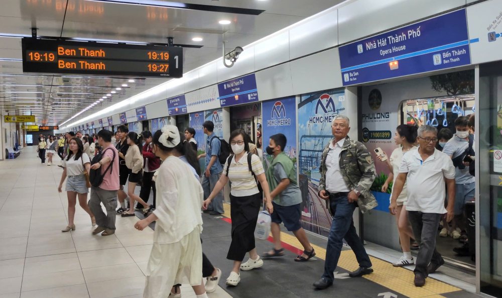
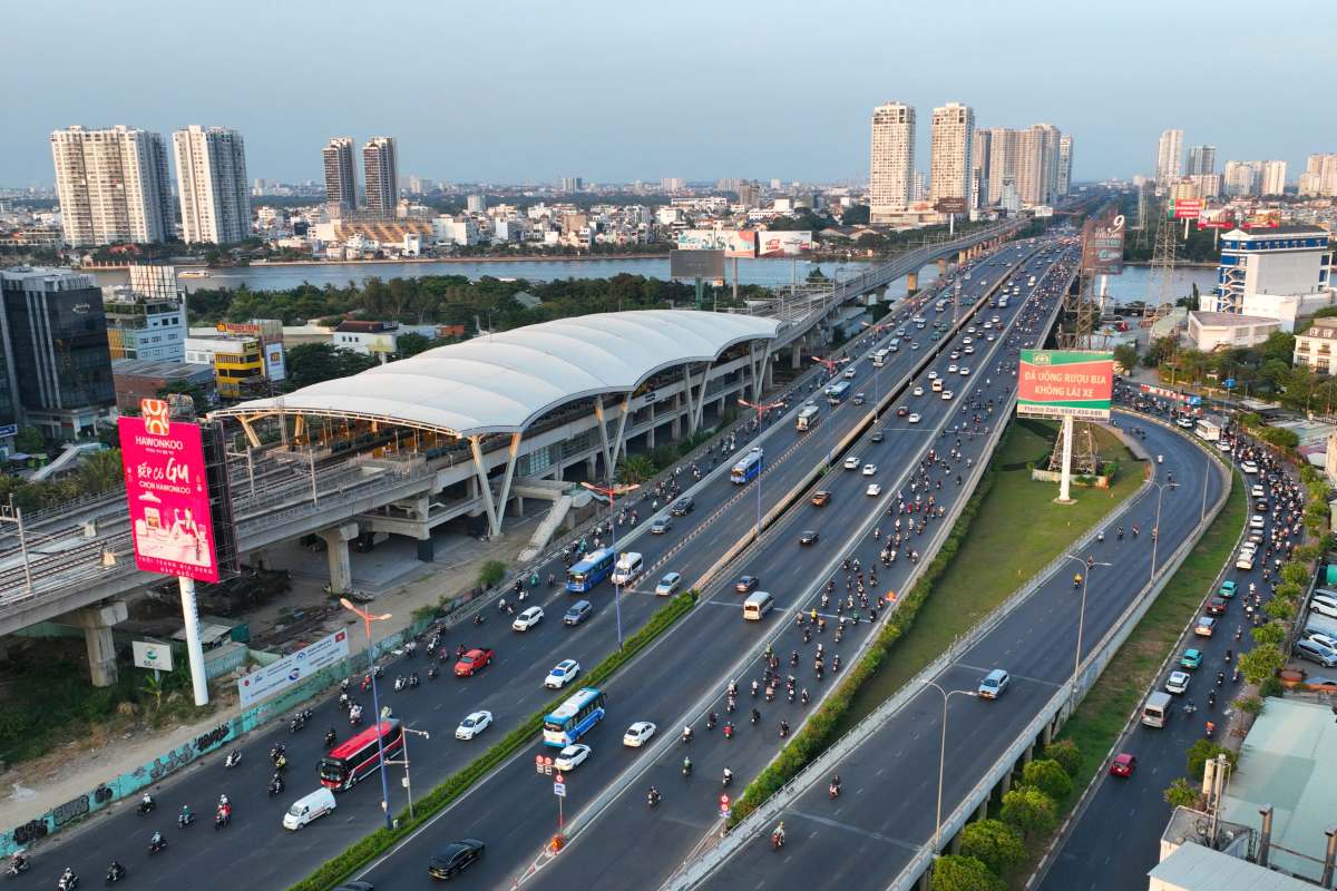
The next important milestone of the East is Metro Line No. 1 (Ben Thanh - Suoi Tien) 19.7km long. Officially operating the entire line in December 2024, Metro Line No. 1 passes through the High-Tech Park and Vietnam National University Ho Chi Minh City, laying a solid foundation for the urban development model associated with public transport (TOD).
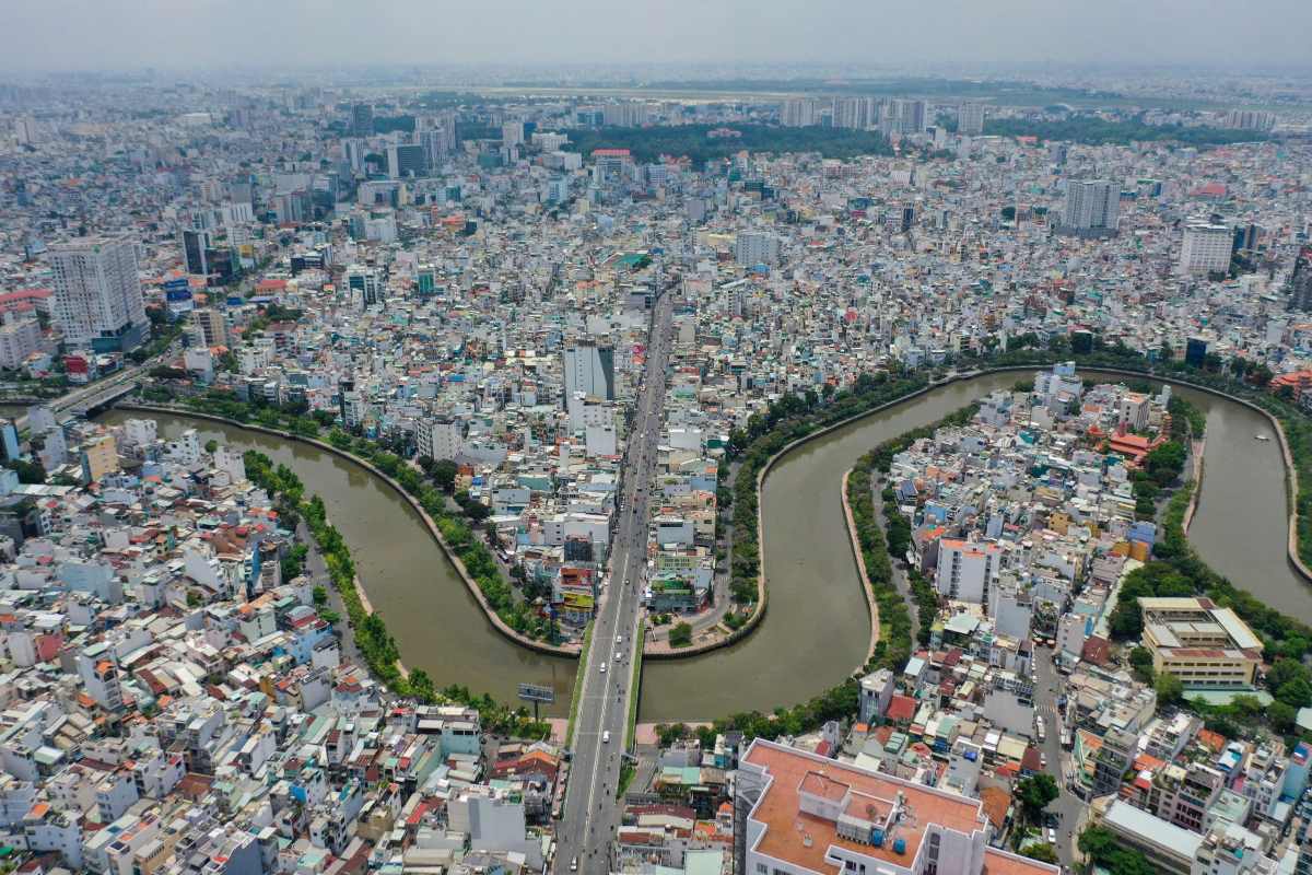
For the central area, canal and ditch renovation projects have directly changed the quality of life of people. Typically, the pollution treatment and urban renovation project has transformed Nhieu Loc - Thi Nghe, Tau Hu - Ben Nghe canals... from dense black water, filled with garbage into canal-side roads and green parks.
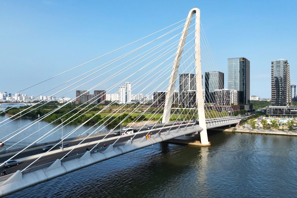
The Saigon bridgehead area including Saigon Bridge 1 and Saigon Bridge 2 connecting Dien Bien Phu street with Vo Nguyen Giap street is now supplemented with a park, wharf and modern Metro station.
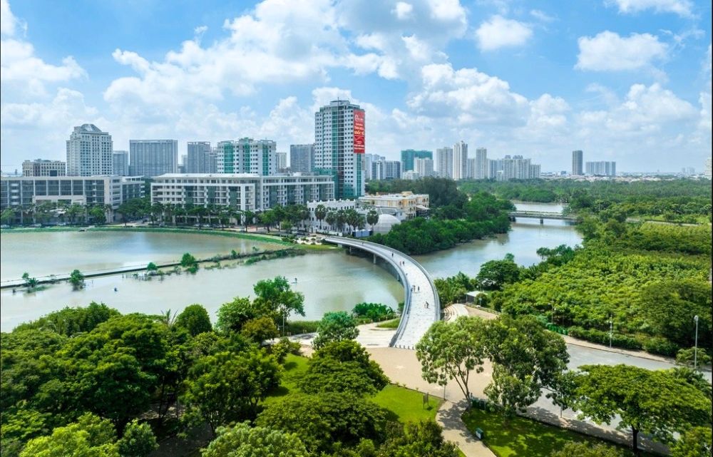
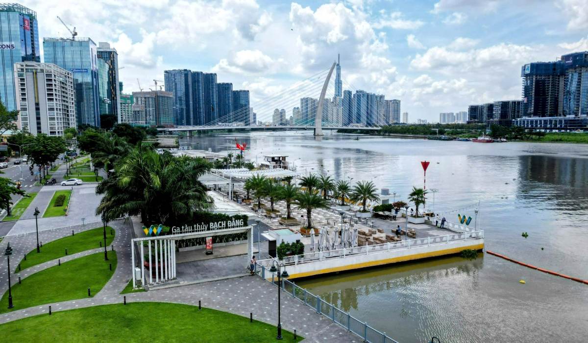
Along the riverbank, Bach Dang wharf has also become a place to play and experience yachting on the Saigon River.
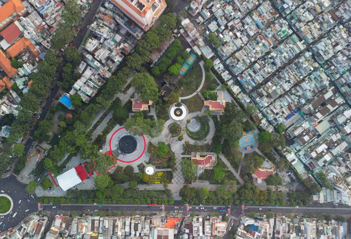
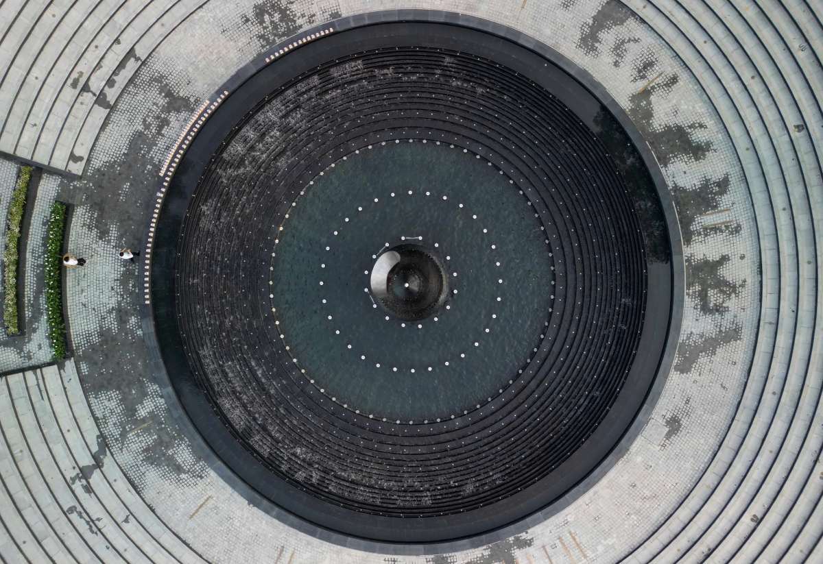
In particular, at the beginning of 2026, the city inaugurated Park No. 1 Ly Thai To on a land that had been abandoned for many years. The "Drops of Water" monument here is a symbol of gratitude for the losses in the COVID-19 pandemic, and at the same time honors the solidarity of the city's people.
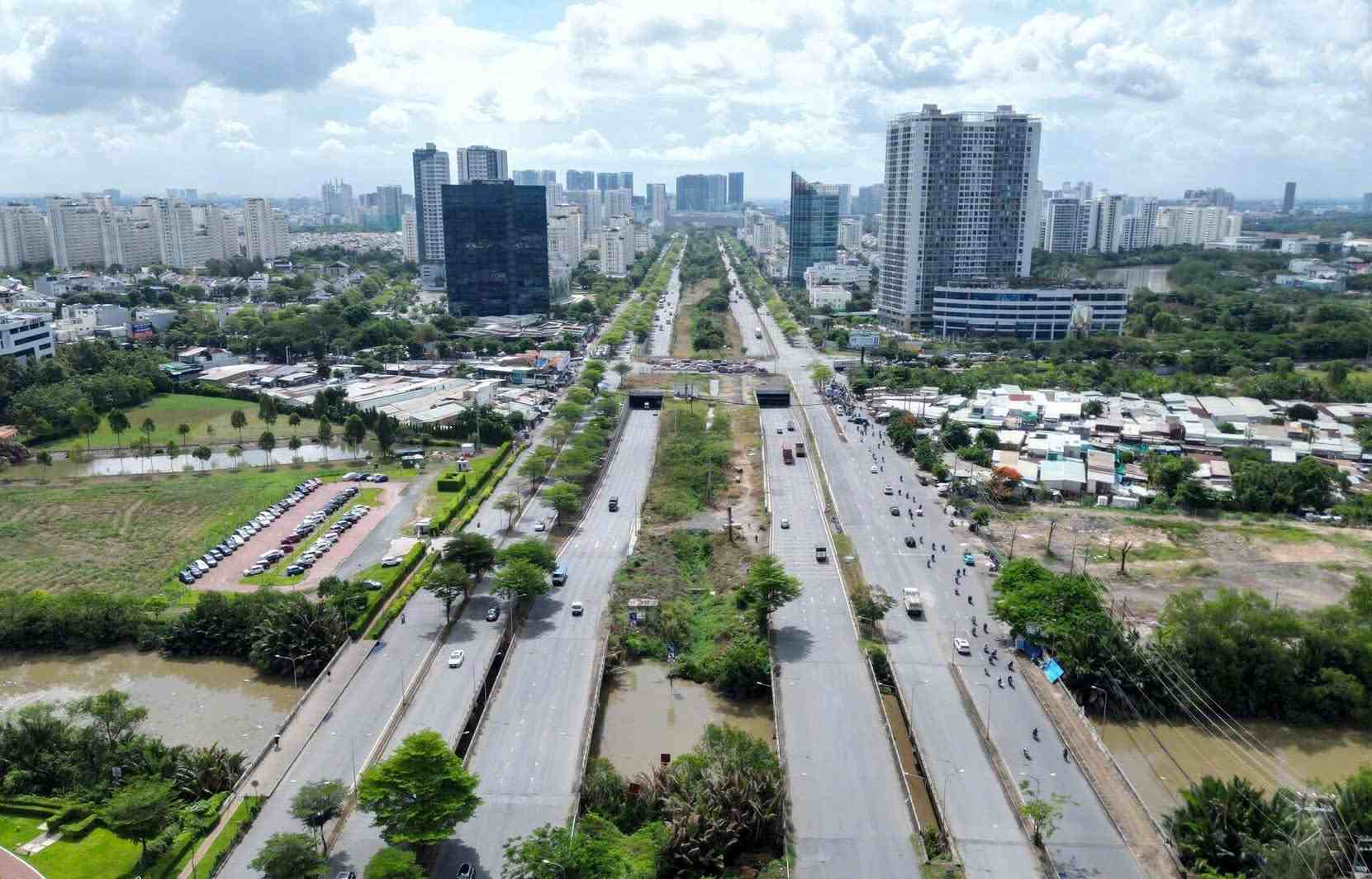
Currently, the ring road system, the next metro lines, the railway connecting Long Thanh airport and flood control projects are continuing to be implemented. Looking back at the 50-year journey, each built project bears a strong mark for a stage of reaching out of the city named after Uncle Ho.