More than 2 months ago, due to the impact of Storm No. 3 Yagi, many rivers in the North witnessed major floods, even above historical flood levels, causing much damage to people and property.
Regarding the Lo River, the flood water level recorded at Vu Quang station (Doan Hung district, Phu Tho province) at 7:00 p.m. on September 11 peaked at 21.21m, 0.71m above Alert Level 3.
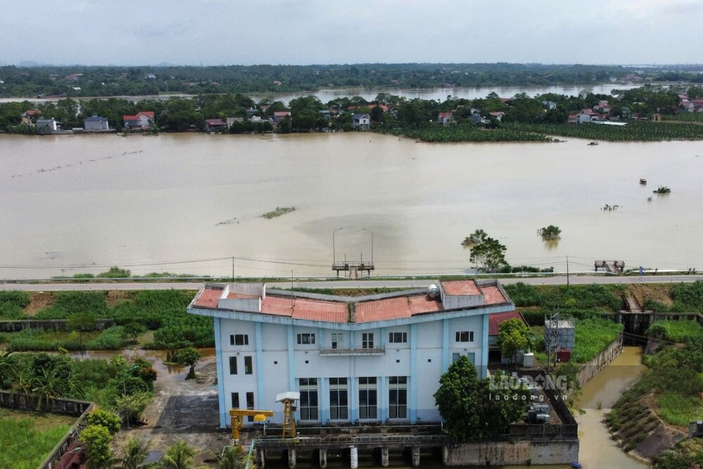
During those days, many communes along the Lo River in Doan Hung and Phu Ninh districts, Viet Tri city experienced flooding. In some communes of Phu Ninh district, there were some seepage veins that penetrated the dike body, posing a potential safety risk.
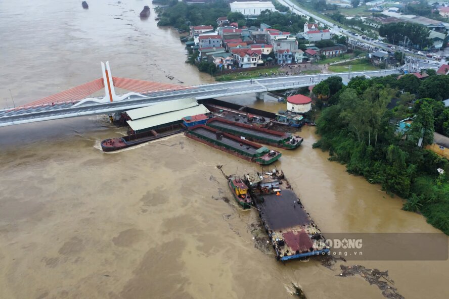
Not only that, on the morning of September 10, a number of ships were stuck at Vinh Phu bridge (crossing the Lo river connecting Viet Tri city with Song Lo district, Vinh Phuc province), posing many risks of sinking barges and ships and affecting the infrastructure of the bridge...
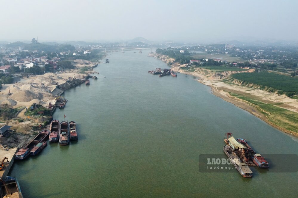
Returning to the Lo River section through Phu Tho province after more than 2 months of peak flooding, Lao Dong Newspaper reporters noted that the river water level has now dropped, and many large reefs in the middle of the river have begun to appear.
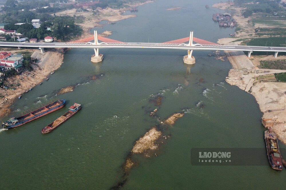
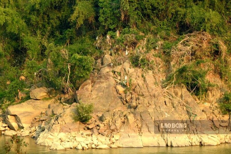
According to the short-term hydrological forecast and warning bulletin on November 13 of the National Center for Hydro-Meteorological Forecasting, the actual water level measured at Vu Quang station on Lo River was over 5.10 m, down about 16 m compared to the flood peak more than 2 months ago (21.21 m at 7:00 p.m. on September 11).

