Using radar to search for martyrs' graves
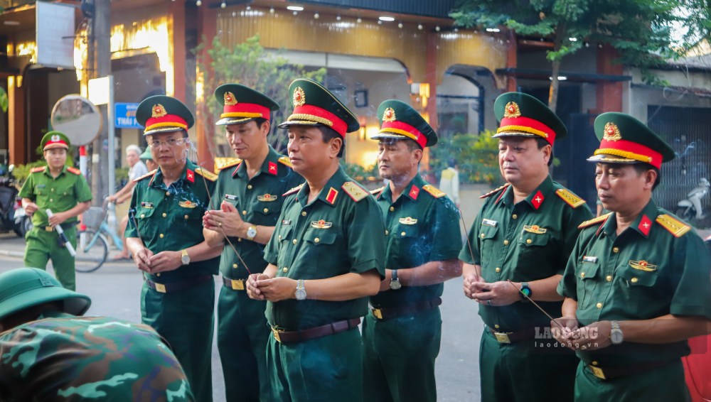
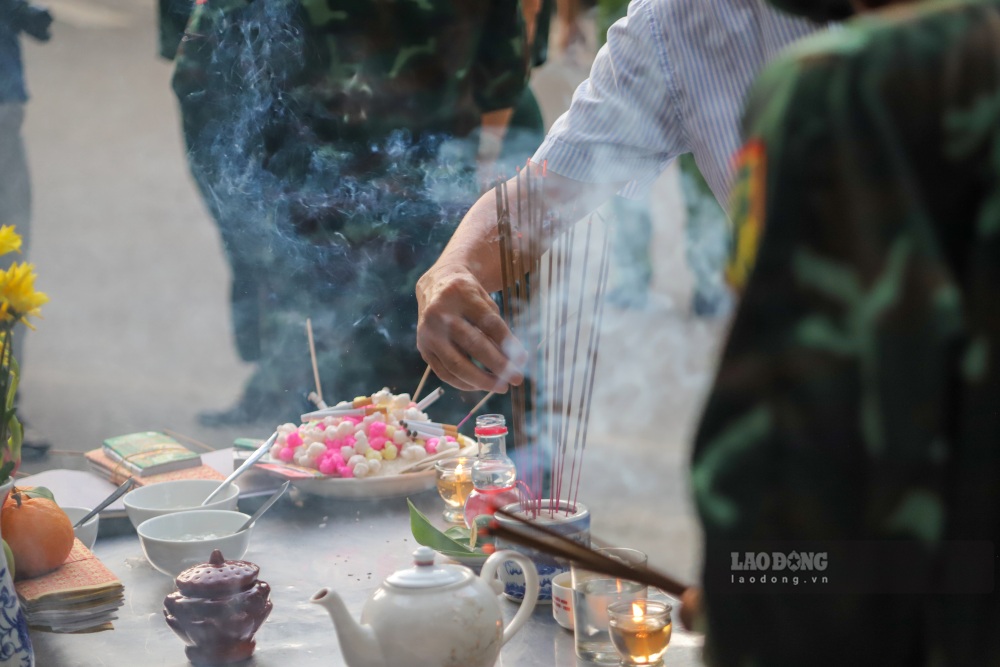
In the afternoon and evening of June 25, many areas in Hue Citadel were cordoned off by military, police and militia forces, erected barricades, and restricted vehicles to serve the survey and search for collective graves of martyrs according to witnesses.
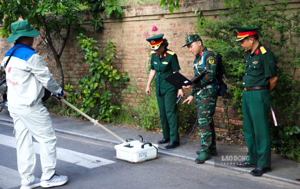
The first search site was deployed on Xuan 68 street, Phu Xuan ward. Here, the technical team of the National Steering Committee used ground-penetrating radar to survey the positions that had been zoned. The equipment was moved along pre-determined routes to collect underground stratigraphy data.
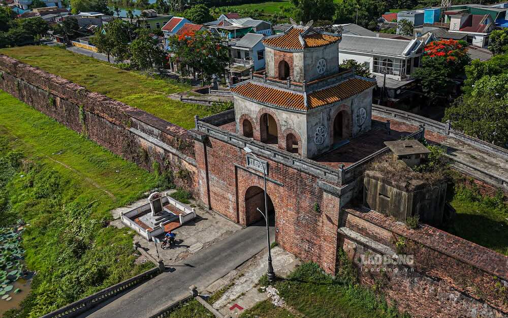
By early evening, the survey continued to be deployed in the Chanh Tay gate area. This is a location that witnesses believe may have a mass grave of martyrs from the General Offensive and Uprising of Spring Mau Than 1968.
Present at the scene, Mr. Le Van Luot (70 years old, residing in Phu Xuan ward) monitored the survey process of functional forces. He is a witness who provided information about locations suspected of having mass graves of martyrs in Hue Citadel.
According to Mr. Luot's account, at the end of January 1968, when he was only 12 years old, he and his father passed through Chanh Tay gate and saw a large bomb pit. Here, about 15 bodies of fallen soldiers were collected and buried at a depth of nearly 3m by the Republic of Vietnam engineering force.
In addition to this position, for many years he has also recorded the stories of elderly people about other locations suspected of having mass graves of martyrs and transferred information to functional agencies. According to him, the Cua Hau area also has many signs that need to be further verified.
According to the plan, after the first two survey points, ground-penetrating radar will continue to be used in many other areas in Hue Citadel with a total area of about 1,350m2.
Difficulties due to stratigraphy
Senior Lieutenant Colonel Pham Thi Thanh Van - Deputy Director of the Central Sub-Institute, Institute of Design, General Department of Logistics - Technology said that the equipment used in the survey is a dual-frequency radar, capable of detecting changes in stratigraphy without affecting the current status of the ground.
The device will transmit electromagnetic waves into the stratigraphy below the surface and we will collect feedback waves, which are stored on computers. And through feedback waves, we will assess stratigraphy and stratigraphy disturbances or foreign objects underground without affecting the status quo, without affecting the lives of residents in the city." - Senior Lieutenant Colonel Pham Thi Thanh Van shared.
According to Lieutenant Colonel Van, after completing radar scanning in the field, data slices will be sent for analysis to assess stratigraphic characteristics, the level of electromagnetic wave response and identify areas with signs of disturbances or underground foreign objects before reporting to the Steering Committee.
Regarding the survey conditions, Senior Lieutenant Colonel Van said that the ground in the urban area is quite favorable for the operation of equipment. However, the stratigraph under the roads in Hue Citadel has many layers of structure, making it difficult for radar signals to transmit down to deep layers of soil.
We will try to carefully analyze the results obtained at the scene to have the best results to report to the Steering Committee" - Senior Lieutenant Colonel Van said.
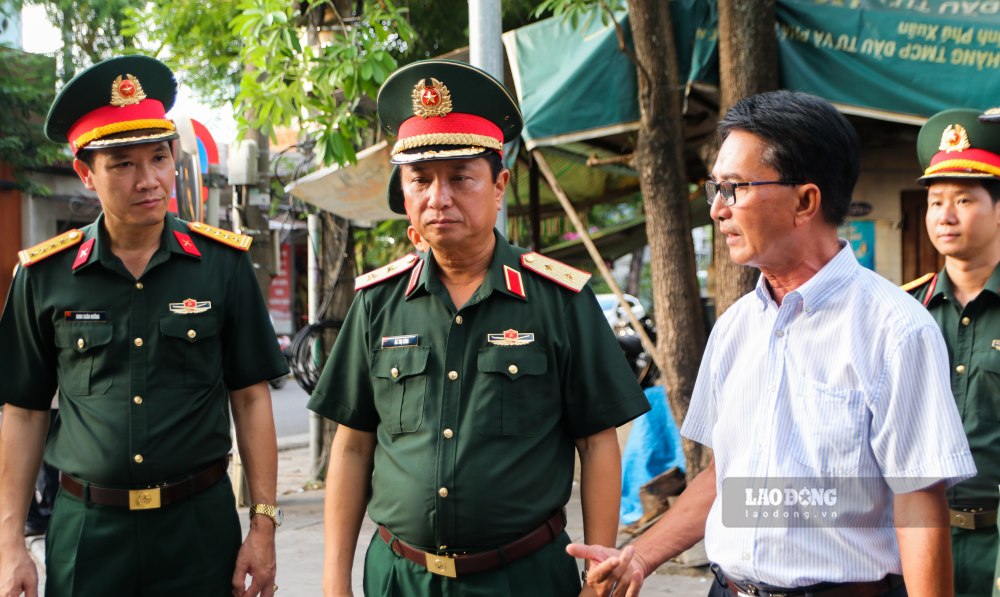
Directly monitoring the survey work, Lieutenant General Ha Tho Binh - Commander of Military Region 4 requested specialized units to continue to thoroughly review, combine radar data with information from witnesses, veterans and historical sources to improve accuracy, and soon identify locations where martyrs are likely to be buried to serve excavation and repatriation work.


