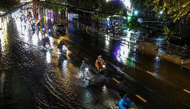
Recorded on the evening of June 12, many areas in Ho Chi Minh City experienced widespread thunderstorms accompanied by prolonged thunder and lightning. The rain appeared during the evening rush hour, causing many difficulties for people's travel.
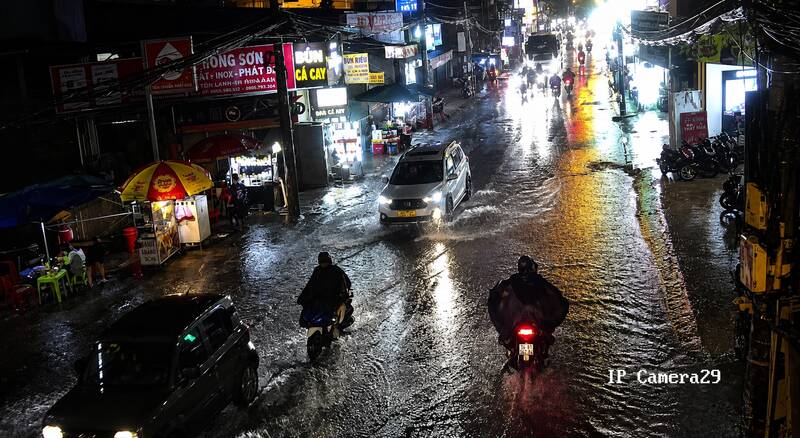
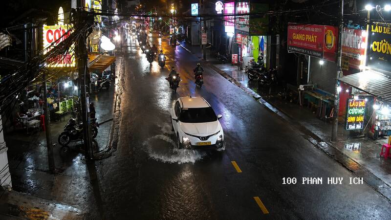
On some roads such as Phan Huy Ich, Nguyen Van Khoi and surrounding areas, rainwater began to rise, and localized water stagnation appeared. Many vehicles had to move slowly to ensure safety, while motorcyclists wearing raincoats struggled to travel through flooded road sections.
Satellite cloud images, weather radar images and lightning positioning data show that convective cloud areas are developing strongly, causing showers with thunderstorms and lightning in many localities including Di An, Thoi Hoa, Tan Dong Hiep, An Phu, Binh Duong, Hoa Loi, Tay Nam, Long Nguyen, Vinh Tan, Tan Uyen, Tan Hiep, Tan Khanh and An Nhon Tay commune.
In the next 3 hours, convective clouds will continue to develop, causing showers and thunderstorms in the above-mentioned areas, then it is likely to expand to neighboring areas such as Thu Duc, Thuan An and some surrounding areas.
Common rainfall is from 10-30 mm, in some places over 30 mm. During thunderstorms, it is necessary to be wary of dangerous weather phenomena such as tornadoes, lightning, hail and strong gusts of wind at level 5-7 (8-17 m/s). Heavy rain in a short time can cause localized flooding in low-lying areas.
The cause of thunderstorms is that a low pressure trough with its axis through the North Central region is being compressed and gradually filled. Southwest monsoon is operating with moderate intensity, while at high altitudes, subtropical high pressure has its axis passing through the South Central region and the South, creating favorable conditions for convective clouds to develop.


