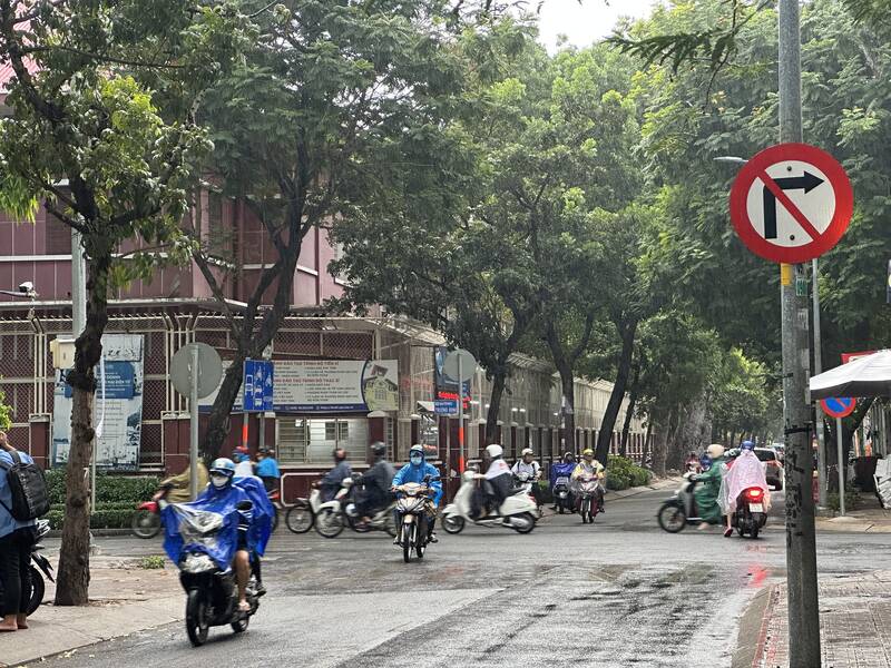
On the afternoon of April 23, in Ho Chi Minh City, thunderstorms occurred in Binh Chanh district, Binh Tan district, Go Vap district, District 12, Cu Chi district and central districts such as Districts 1, 3, 5... This is a heavy rain that helps cool down after the days of Ho Chi Minh City having hot weather above 37 degrees Celsius.
Thunderstorms are also developing, causing showers and thunderstorms in the provinces of Kien Giang, Can Tho City, Tien Giang, Binh Duong, Tay Ninh, Dong Nai...
In the coming hours, thunderstorms will continue to develop and cause showers and thunderstorms in the above areas, then thunderstorms will tend to expand and spread to other neighboring areas.
Rainfall is generally from 2-10 mm, in some places over 13 mm. During thunderstorms, beware of tornadoes, lightning, hail, strong gusts of wind of level 5-8 (8-21m/s), heavy rain causing local flooding.
The cause of thunderstorms is due to the continental high pressure increased to the north of our country, the low groove through the North faded away. Above high, subtropical pressure through the Central and South Central region encroached and tended to raise the axis to the north. The crowded wind turbulence maintained in the Southern region.
From April 23-26, showers and thunderstorms tend to increase, beware of moderate rain, heavy rain, tornadoes, lightning and strong gusts of wind.