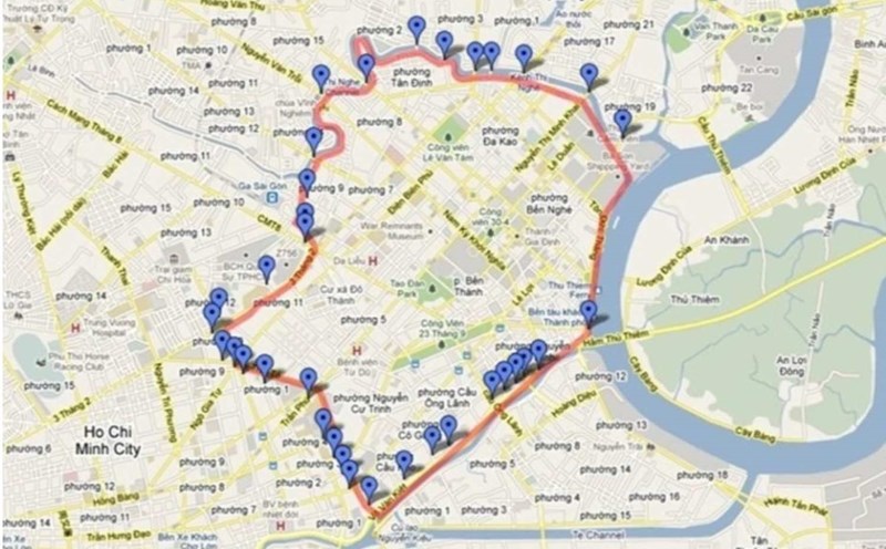
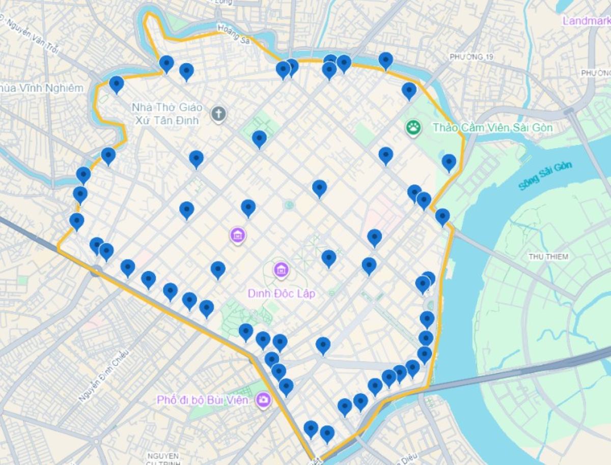
The project to control vehicle emissions developed by the Ho Chi Minh City Public Transport Management Center (under the Department of Construction) proposes to pilot the establishment of a low-emission zone in the central area by 2026, where traffic density and pollution levels are highest.
The low-emission zone was created by setting up a belt limited by 15 bridges, including: Dien Bien Phu - Bui Huu Nghia, Bong (Dinh Tien Hoang), Hoang Hoa Tham, Tran Khac Chan, Kieu (Hai Ba Trung), Cong Ly (Nam Ky Khoi Nghia), Le Van Sy, Nguyen Van Cu, Ong Lanh (Nguyen Thai Hoc), Calmette, Khanh Hoi, Nguyen Huu Canh, Thi Nghe.
Along with 17 routes, including: Ba Huyen Thanh Quan, Nguyen Phuc Nguyen, Cach Mang Thang Tam, Cao Thang, Le Hong Phong, 3 Thang 2, Ly Thai To, Ngo Gia Tu, Ho Thi Ky, Tran Phu, An Duong Vuong, Nguyen Trai, Phan Van Tri, Tran Hung Dao, Ky Con, Nguyen Canh Chan, Tran Dinh Xu.
In the first phase, commercial cars that do not meet Euro 4 standards and motorbikes for service businesses below Euro 2 standards will be restricted to circulate in this area. Heavy trucks running on diesel are completely banned.
Instead, priority will be given to vehicles that do not generate emissions, environmentally friendly vehicles, using clean energy, renewable energy, priority vehicles and vehicles specially licensed by competent authorities.
In the period of 2027 - 2032, it is proposed to expand the scope of application, limiting all motorbikes under Euro 2 and cars under Euro 4 to circulate in the central area.
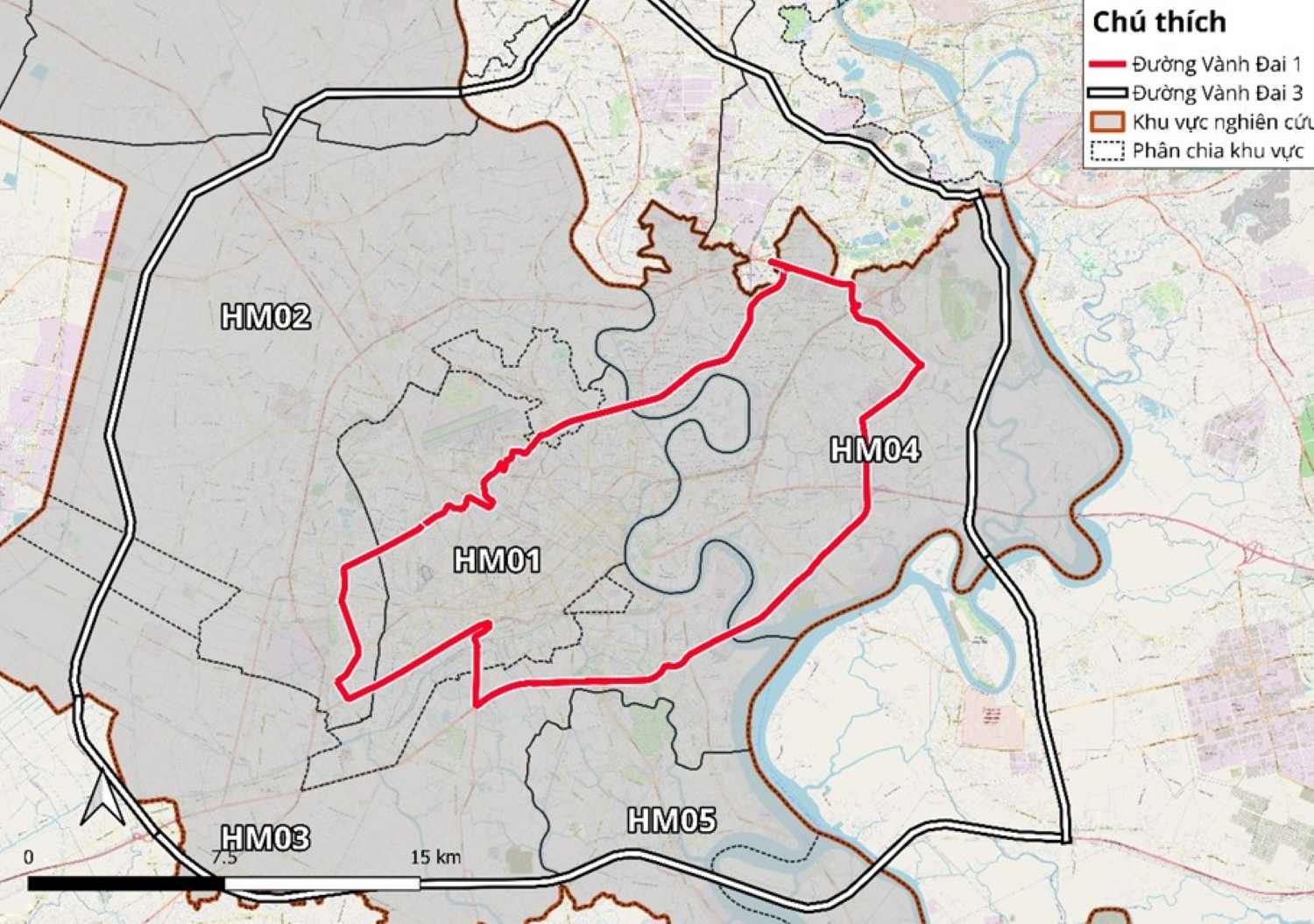
From 2032 onwards, Ho Chi Minh City will raise emission standards for cars and motorbikes traveling to low emission zones. At the same time, expand the low emission zone to the Ring Road 1 area, with boundaries determined according to the following routes:
Section 1: From Linh Dong intersection (Pham Van Dong - Ring Road 2 intersection) to Nguyen Thai Son roundabout, 8.5 km long, including 12 lanes. This section has been completed, coinciding with Pham Van Dong Street.
Section 2A: From Nguyen Thai Son roundabout to Bay Hien intersection, 4.8 km long. This section coincides with the routes: Bach Dang - Hong Ha, Truong Son, Tran Quoc Hoan, Hoang Van Thu.
Section 2B: From Bay Hien intersection to Huong Lo 2, 4.7 km long, including: a new road connecting Bay Hien intersection to Thoai Ngoc Hau street; Thoai Ngoc Hau street; Huong Lo 2 street.
Section 3: From Huong Lo 2 to Nguyen Van Linh Street, 8.4 km long, including the inner Ring Road and the inner Ring Road extension (section 1 from Huong Lo 2 to Road No. 29, section 2 from Kinh Duong Vuong Street to Nguyen Van Linh Street).
To effectively implement the project, the project proposes to install 58 traffic surveillance cameras and automatic license plate recognition (ANPR) in the period of 2026 - 2032 at all gateways entering and exiting low emission zones and key intersections.
This system will compare vehicle license plates with national inspection data to determine emission standards. The violating vehicles will be automatically recorded and an electronic penalty notice will be sent to the vehicle owner.
From 2032 onwards, about 200 more ANPR cameras will be installed throughout Ho Chi Minh City.
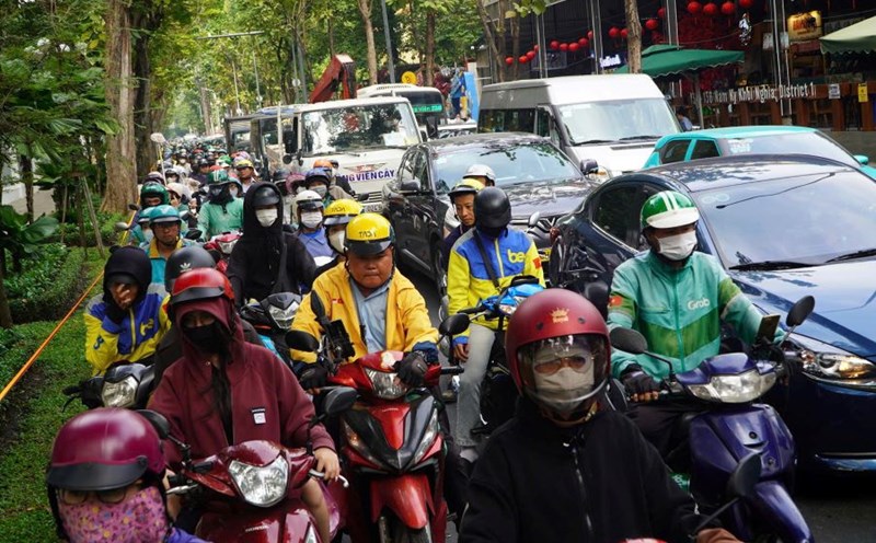
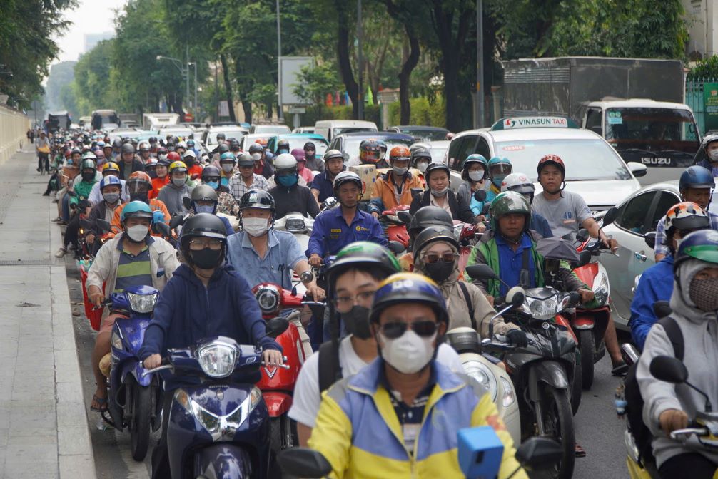
According to data from the project, after merging with Binh Duong and Ba Ria - Vung Tau, Ho Chi Minh City has a population of more than 14 million people, with more than 1 million cars and more than 10.2 million motorbikes.
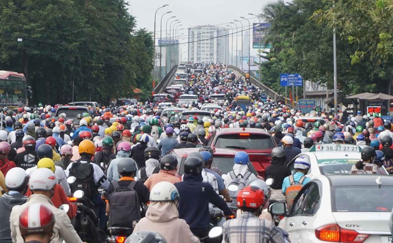
Road traffic is currently the largest source of emissions, accounting for 88% NOx, 99% CO, 79% SO2 and 88% fine dust in the total emissions from the city's traffic activities.
Air pollution from traffic causes an estimated economic damage of more than VND3,000 billion per year, equivalent to about 0.25% of Ho Chi Minh City's GRDP.