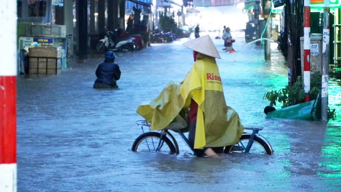
On October 21, the Can Tho City Hydrometeorological Station issued a flood warning bulletin in the area with a level 2 risk of natural disasters due to high tides.

According to the news, in the past 2 days, the water level on the rivers and canals of Can Tho City due to the influence of floods from upstream combined with the high tide of the 15th day of the 9th lunar month, the peak water level remained high.
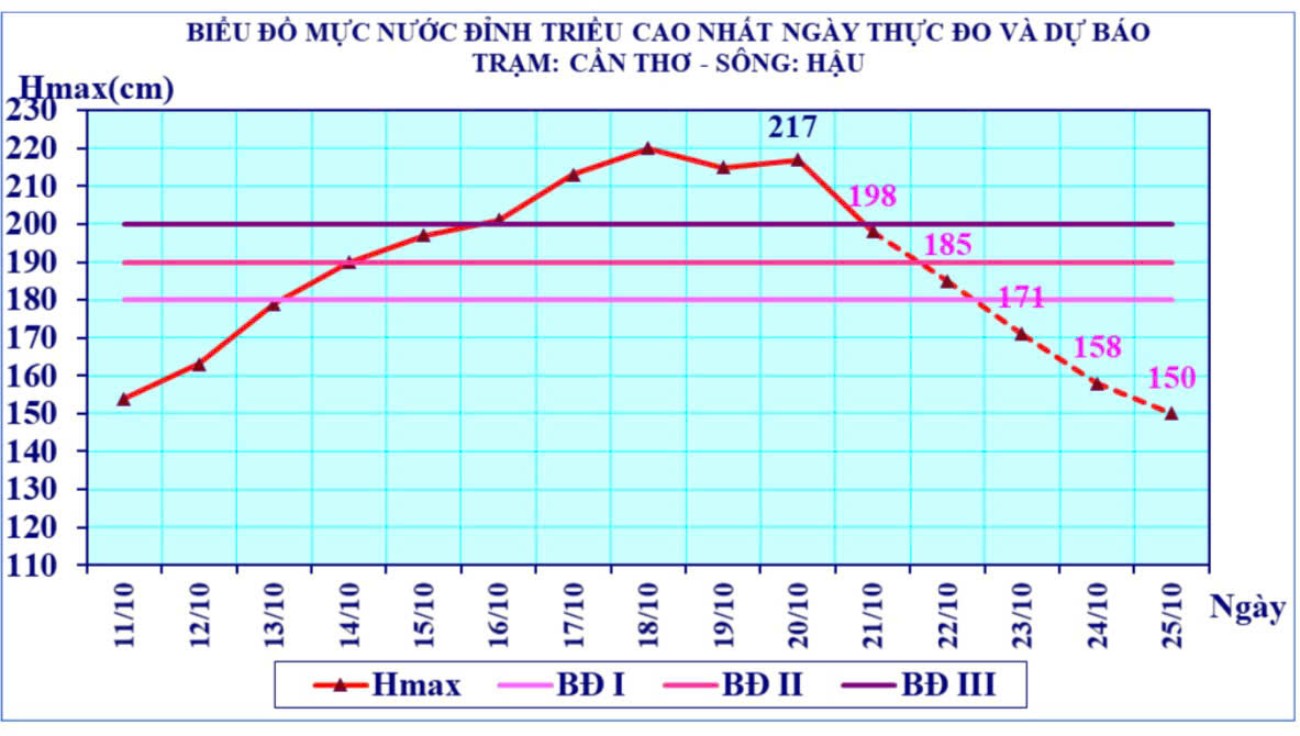
The highest peak tide level appeared on October 20 on the Hau River at Can Tho Hydrological Station Hmax at 5:30 a.m. at 2.17 m; exceeding alarm level III by 0.17 m.
It is forecasted that the peak water level on rivers and canals in Can Tho City will continue to be high and will approach alert level III on October 21 (the 19th day of the 9th lunar month).
Then the water level dropped rapidly in the following days.

The time of daily peak tide is early morning from 6am - 8am and late afternoon from 4pm - 8pm.
According to the Can Tho City Hydrometeorological Station, this is a high tide with a peak tide approaching alert level III. People need to pay attention to bad weather due to strong and continuous disturbances of the easterly wind zone. During the days of high tide combined with heavy rain, it will cause flooding in low-lying areas and inner-city areas along the river.


