
Viet Hung Ward People's Committee is publicly seeking opinions from agencies, organizations, individuals and residential communities on the project "Local adjustment of Detailed Planning of Viet Hung New Urban Area", scale 1/500 in the area implementing the Project to invest in building rental housing.
According to the City Civil Works Construction Investment Project Management Board, the City Lease Housing Construction Investment Project in Viet Hung ward (formerly the Hoan Kiem District Old Quarter Resettlement Housing Area Project) is being studied to implement the policy of relocating people in Hoan Kiem District Old Quarter according to the Old Quarter Resettlement Project approved by the Hanoi City People's Committee in Decision No. 168/QD-UBND dated January 9, 2013; and at the same time concretize the planning orientations for land plots serving population relocation in Viet Hung New Urban Area.
Reviewing the current status and assessing development needs in the current period shows that some spatial organization contents of the previous master plan are no longer suitable.
Based on the proposal of the Hanoi City Civil Works Construction Investment Project Management Board, the City People's Committee has agreed on the policy of allowing research to partially adjust the detailed planning in the area where the Housing for Lease Investment Project is implemented.
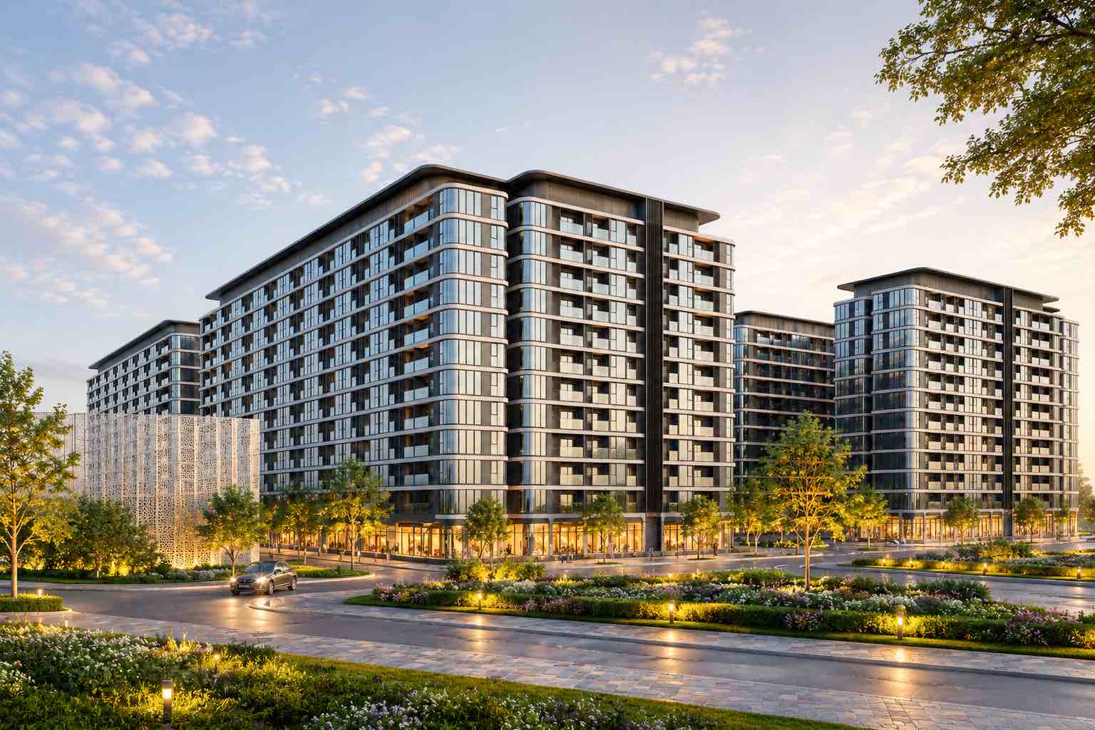
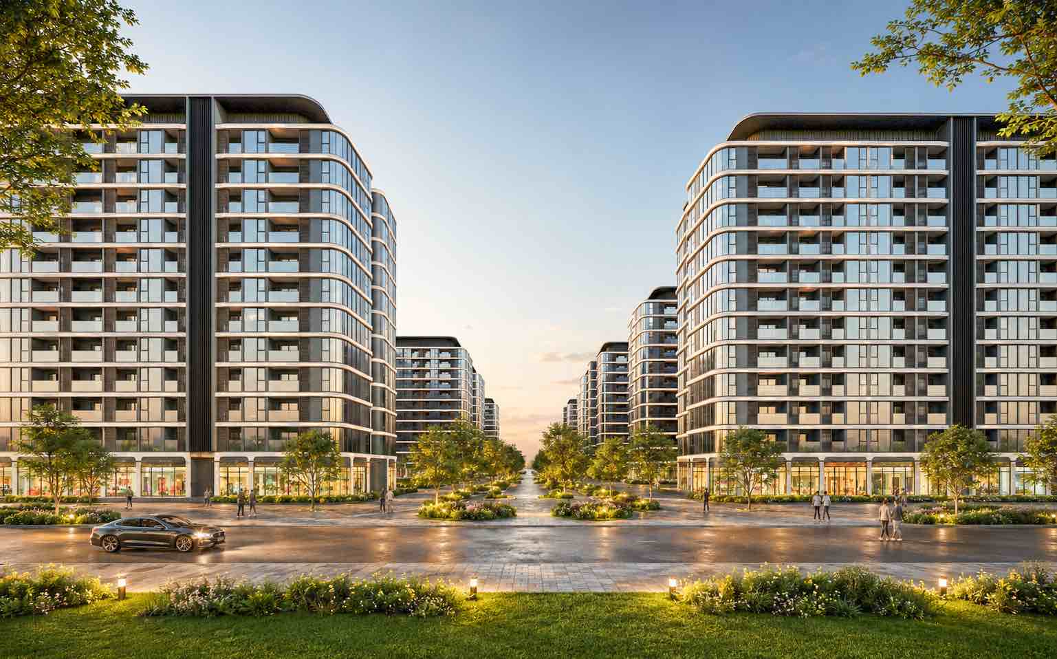
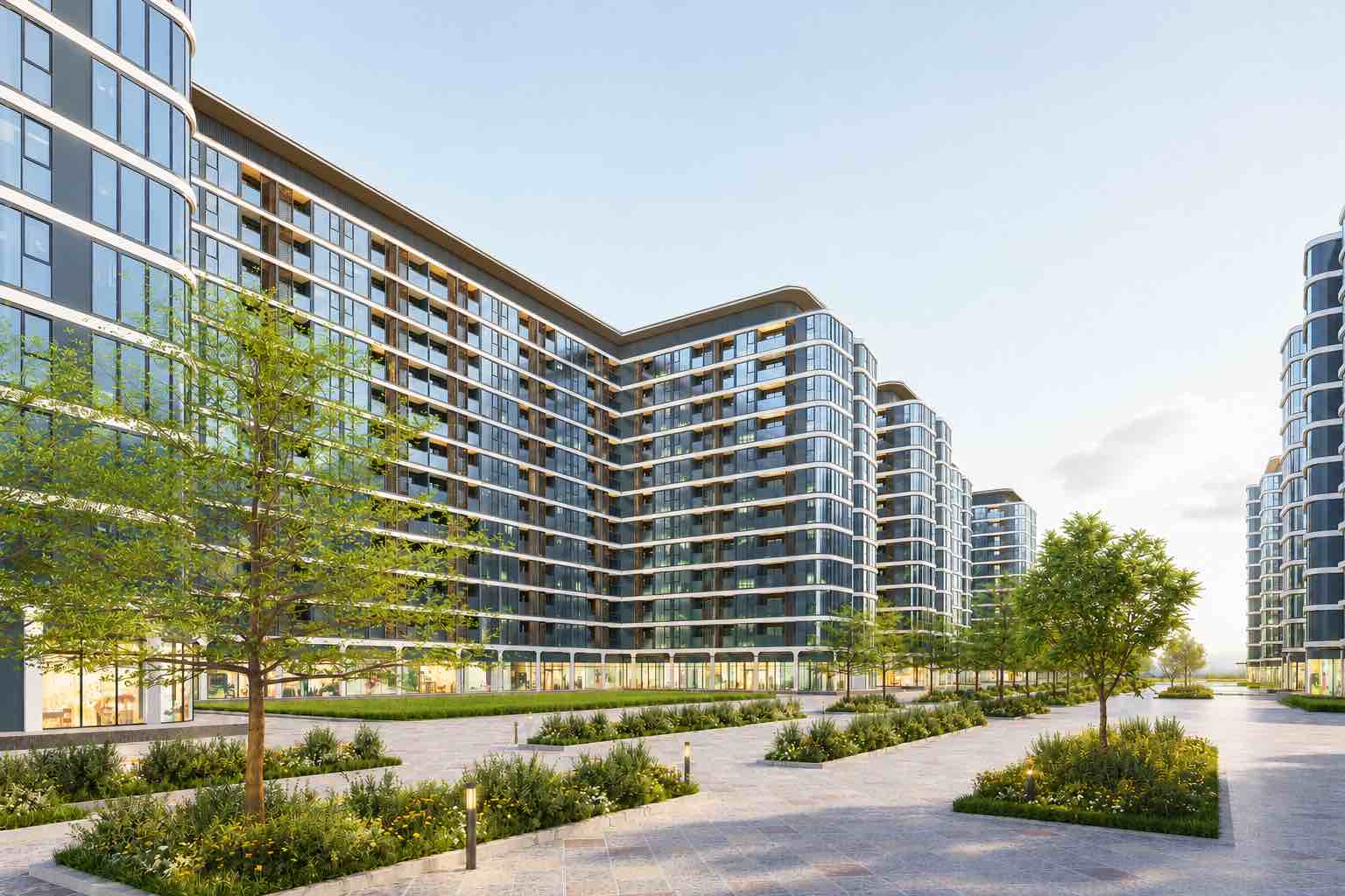
Viet Hung Rental Housing Project is a project to develop rental housing, with characteristics of exploitation and operation different from housing projects for sale. Accordingly, the apartment structure needs to be organized in a direction of variety in area, suitable to the needs of many groups of tenants, improving the efficiency of housing fund use and meeting market demand changes in the process of exploitation and operation.
According to the adjustment plan, there is no change in investment objectives, land use functions and population size of the project, and at the same time, the total floor area for construction is maintained at 162,975.8 m2. The adjustment is mainly aimed at reorganizing the land use plan, building blocks and improving the quality of architectural landscape space.
Specifically, adjusting from 7 construction land plots to 4 construction land plots with codes CT-01 to CT-04.
The total land area for construction increased from 24,615.0m2 to 32,405.2m2 due to the consolidation of land plots and reorganization of construction boundaries.
The maximum construction area of the whole area increased from 13,296.4 m2 to 15,763.7m2.
Adjust the construction density of each block from about 53.3-55.7% to 45-50%, creating a more reasonable backing space and open space.
The height of the building is 12 floors, suitable for the new architectural plan; does not increase the population size and total floor area.
The former internal traffic area has been reorganized, of which 5,737.9m2 is converted into green land for public use, creating a landscape axis and a central pedestrian path for the project.
Regarding the organization of architectural and landscape space, according to the adjusted plan, the central area is organized into a green park axis combined with a square, playground and pedestrian path with an area of about 5,737.9m2, about 24m wide, playing the role of community living space and the main landscape axis.
Green systems, gardens and open spaces are continuously arranged between buildings, contributing to improving microclimate, increasing ventilation and natural lighting.
Outside the adjustment boundaries, the frame traffic system surrounds the building blocks, meeting traffic, fire fighting, rescue and construction operation requirements.


