
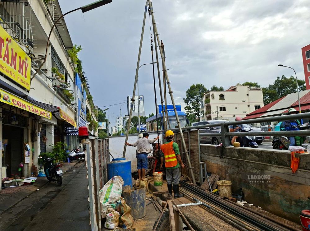
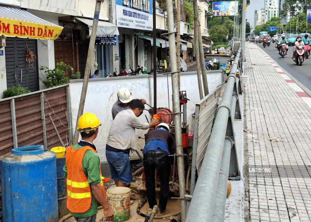
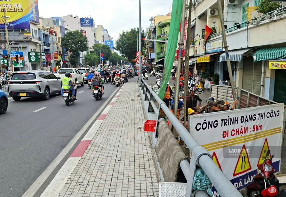
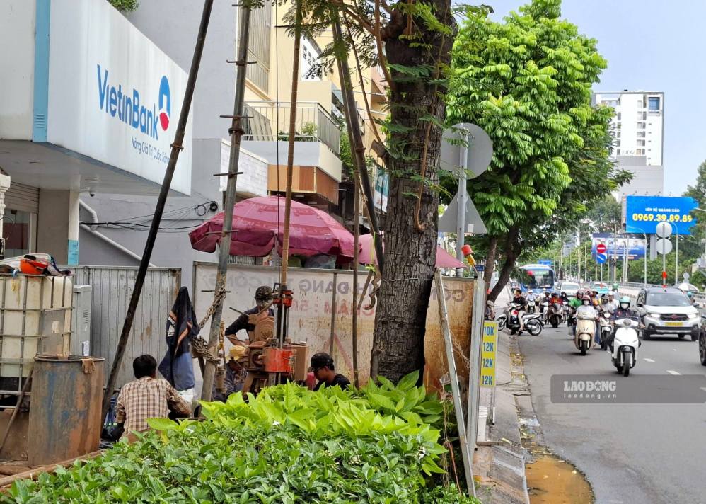
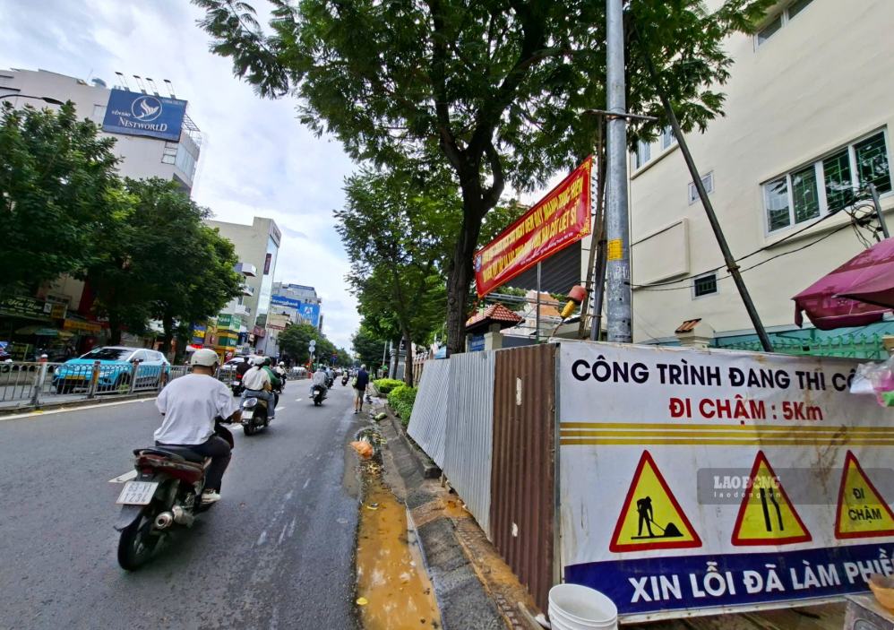
On the afternoon of August 6, in the area near Thi Nghe bridge on Xo Viet Nghe Tinh street (Thanh My Tay ward, Ho Chi Minh City), units deployed two geological survey drilling teams to serve the design and construction of the Thu Dau Mot - Ho Chi Minh City Metro line.
At the scene, workers continuously operated drilling machines, taking soil and rock samples at many depths from 40 - 60m to analyze the geological conditions along the route.
Previously, geological survey drilling work had been deployed along National Highway 13, passing through the Binh Duong area (old).
Representatives of the construction unit said that geological survey is one of the first stages but plays a decisive role in the design and construction of the metro line.
The results of analyzing soil and rock samples will help determine the stratigraphy structure, assess the load-bearing capacity of the soil foundation, thereby choosing appropriate technical solutions for each section of the route, especially underground and river crossing sections.
According to the plan, Ho Chi Minh City aims to start construction of the Thu Dau Mot - Ho Chi Minh City Metro line by the end of 2026 and complete it by 2030. When put into operation, the line will contribute to other metro projects to increase the total length of the city's urban railway network to about 255km.
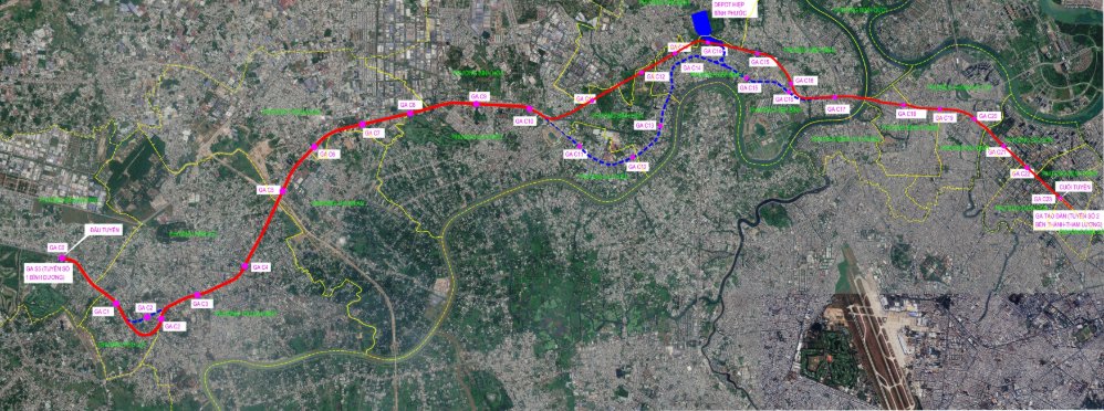
The Thu Dau Mot - Ho Chi Minh City Metro line has a total length of about 35.1km. The starting point is at station C0, connecting to station S5 of the Binh Duong New City - Suoi Tien Metro line in Binh Duong ward; the ending point is at station C23, connecting to Tao Dan station of Metro line No. 2 (Ben Thanh - Tham Luong) in Ben Thanh ward.
The entire route passes through 18 wards including: Binh Duong, Phu Loi, Thu Dau Mot, Thuan An, Thuan Giao, Lai Thieu, Binh Hoa, Tam Binh, Hiep Binh, Binh Loi Trung, Binh Quoi, Binh Thanh, Gia Dinh, Thanh My Tay, Saigon, Xuan Hoa, Ben Thanh and Ban Co.
According to the research plan, the project has 24 stations, including 13 underground stations and 11 elevated stations.
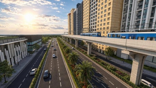
The route uses double standard gauge 1.435mm, operated by electrification system. Design speed reaches 110km/h for elevated sections and 90km/h for underground sections.
Notably, the section of the route entering the central area of Ho Chi Minh City is underground built under Xo Viet Nghe Tinh and Nguyen Thi Minh Khai streets.
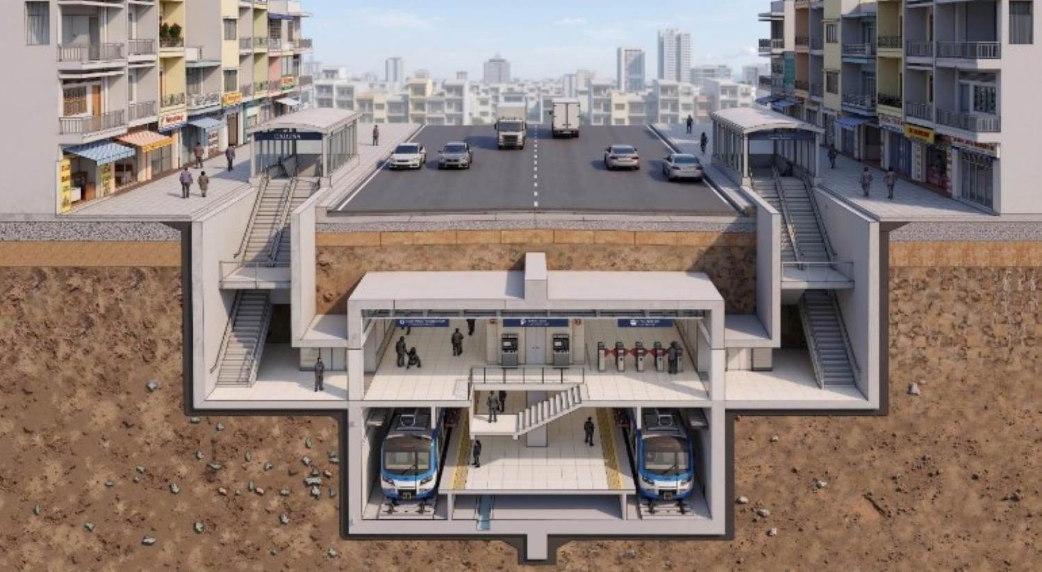
According to the Ho Chi Minh City Urban Railway Management Board (MAUR), C23 station will be located at the Nguyen Thi Minh Khai - Cach Mang Thang Tam intersection, next to Tao Dan Park.
Here, the line will connect with Metro Line No. 2 (Ben Thanh - Tham Luong) and Line No. 3 (Tao Dan - An Ha), forming a major public transport hub in the urban core area.
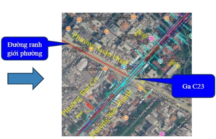
The station serves areas with a concentration of administrative agencies, schools, hospitals, cultural, commercial and tourist centers, places with large and stable travel demand.
The formation of C23 station is expected to improve access to the central area by mass public passenger transport, promote urban development in the TOD direction, strengthen multimodal connectivity and effectively exploit existing urban space.


