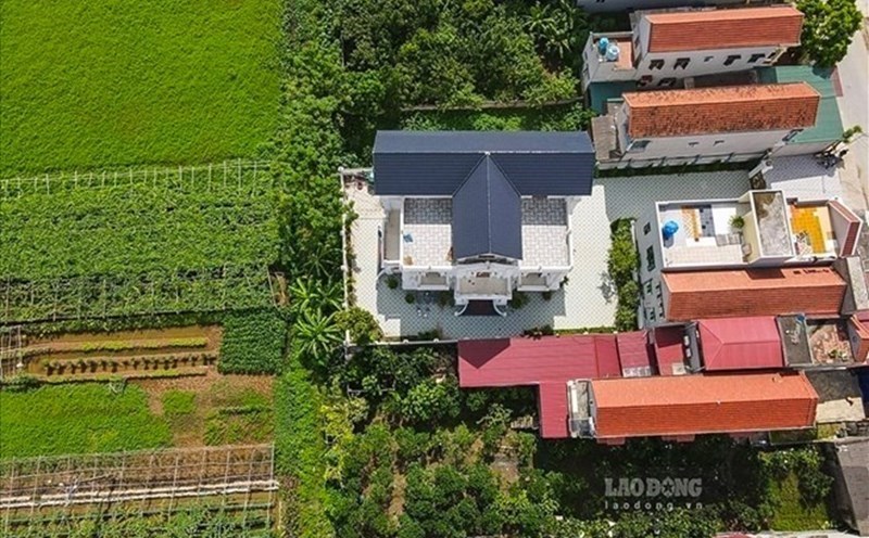
Can land in the planning be divided?
According to Clause 4, Article 76 of the 2024 Land Law, if the land use planning has been publicly announced without an annual district-level land use plan, the land user is allowed to continue using and exercise the rights of the land user.
However, in Clause 6, Article 76 of the 2024 Land Law, for the land area to be recovered in the annual district-level land use plan, land users are allowed to continue to exercise the rights of land users but are not allowed to build new houses, works, or plant new perennial trees; land users are allowed to build under a construction permit with a term, renovate and repair existing houses and works according to the provisions of the law on construction and relevant laws.
Thus, land in the planning area can still be divided if it meets the conditions for division according to the provisions of law.
Procedures for implementing land division for land in the planning area
Step 1: Submit documents
Land users prepare and submit a set of documents at one of the following agencies:
- One-stop Department (according to the regulations of the Provincial People's Committee on handling administrative procedures at the provincial, district, and commune levels).
- Land registration office.
- Branch of the Land Registration Office.
Component of the dossier:
- Application for land division (Form No. 01/DK issued under Decree 101/2024/ND-CP).
- drawings of land division (Form No. 02/ development issued under Decree 101/2024/ND-CP), prepared by the Land Registration Office, Branch of the Land Registration Office, or a unit with a Map measurement license.
- Original or copy ( certified/ notarized) of the issued Land Use Rights Certificate, with the original for comparison.
Relevant documents from competent authorities on the content of land division (if any).
Step 2: Receive documents
The agency receiving the dossier will:
- Issued a Receipt of documents and a meeting note to return the results.
- Transfer the application to the Land Registration Office or the Branch of the Land Registration Office (if receiving the application through the One-stop Department).
Step 3: Check the documents
The Land Registration Office or the Branch of the Land Registration Office will review the dossier based on Article 220 of the 2024 Land Law.
- In case the application is not eligible: Return the application and notify the reason within 3 working days.
- In case the issued Certificate does not meet the requirements for land plot diagrams: Return the dossier with notification for the submitter to register for land changes, the processing period is 3 working days.
- In case the documents are complete: Within 5 working days, do:
+ Confirm the information on land division/collusion in the application.
+ Confirm the drawings of the land plot separation/closure to complete the procedures for granting a new Certificate.
Note: The official information of the land plot after separation or consolidation will only be updated on the cadastral map after completing the registration of changes and issuing a new Certificate.
Step 4:
- In case of land division but no change in land user: The Land Registration Office or Branch of the Land Registration Office will perform the following tasks:
+ Adjust and update information about changes in cadastral records and land databases.
+ Implement the issuance of new Certificates of land use rights and ownership of assets attached to land for each separated land plot.
+ Hand over the Certificate of land use rights and ownership of assets attached to land to the person granted.
- In case of land division with changes in land users: Carry out procedures for registration of changes in land and assets attached to land according to the provisions of Articles 37 and 43 of Decree 101/2024/ND-CP.