The People's Committee of Tan Binh District has just issued a plan to implement urban development areas according to the model of public transport (TOD) along Metro Line 2 (Ben Thanh - Tham Luong) through the area, according to the mechanism of Resolution 98.
Previously, the Ho Chi Minh City People's Committee announced 11 urban development locations according to the public transport orientation in areas along Metro Line 1 and Metro Line 2, Ring Road 3.
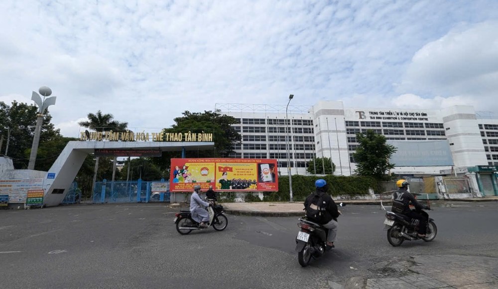
Tan Binh District has two planned locations, including the Exhibition Center and the Tan Binh District Cultural and Sports Center at 446 - 448 Hoang Van Thu Street (Ward 4) and the C30 land plot located in Tan Binh District and District 10.
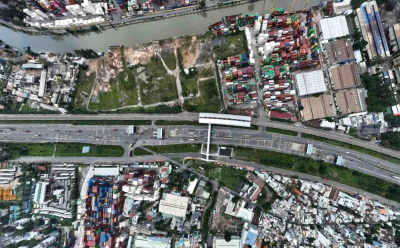
The land at 446 - 448 Hoang Van Thu Street has an area of 5.1 hectares, is currently managed by the State and does not need to be cleared.
This is a land with a favorable location, adjacent to Bay Hien Station of Metro Line 2.
Connecting public transport here will be easier, opening up opportunities for the development of modern urban projects, contributing to reducing traffic congestion in the area.
Regarding the implementation plan, the People's Committee of Tan Binh District said that in the second to third quarters of 2025, the planning for this land will be adjusted.
After the planning adjustment project is approved, Tan Binh District will coordinate with the Ho Chi Minh City Department of Construction and related units to select investors to implement the project in accordance with the provisions of law.
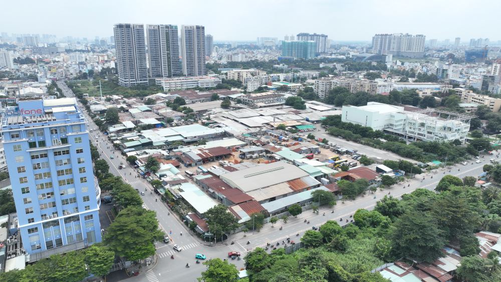
The C30 land plot, covering nearly 41 hectares, located in Tan Binh and District 10, will be prepared by the Ho Chi Minh City Department of Construction and submitted to the Ho Chi Minh City People's Committee for approval.
The current status of this land is mainly vacant land, sparsely populated, or there are factories and workshops expected to be relocated.
A large part of this land area is currently managed by the State, facilitating the implementation of site clearance steps.
Previously, Tan Phu District also selected a land plot near Metro Line 2 to develop an urban area according to the TOD model.
That is area I/82A in Tay Thanh ward, 26 hectares wide, located along the two axes of Tay Thanh and Truong Chinh streets.
According to the plan, this place will become a compact urban area with a fully exploited underground space to optimize land use value and create a modern and convenient living environment for residents.
According to the plan, in the second quarter of 2025, Tan Phu District People's Committee will adjust the local planning, before carrying out land procedures and resettlement compensation by the end of 2025.
Metro Line 2 is more than 11km long, running through 6 districts: 1, 3, 10, 12, Tan Binh, Tan Phu, expected to start construction at the end of 2025, completed in 2030.
According to Resolution 98, Ho Chi Minh City is allowed to pilot the TOD model and use the budget to compensate and support resettlement for areas around metro stations and key traffic points such as Ring Road 3.
This helps Ho Chi Minh City flexibly adjust the construction density, optimize land value around metro stations and major traffic axes, create capital for infrastructure reinvestment and promote the use of public transport.
Through a preliminary review, Ho Chi Minh City has about 64,000 hectares of potential land for development according to the TOD model.