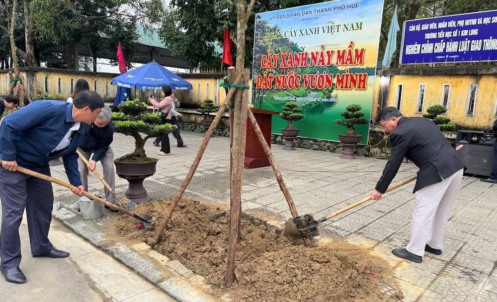
On January 12, leaders of Hue Green Park Center said that Hue City People's Committee had just organized a campaign to plant trees and implement digital urban green planting according to Decree No. 258/2025/ND-CP of the Government.
According to the plan, working groups are assigned according to each route, directly digitizing green trees by locating trees on maps, taking current status photos and updating technical information such as species, trunk size, canopy, growth status, signs of pests and diseases or risks affecting infrastructure and traffic safety. Data is synchronized to the centralized management system.
The urban green tree management system is researched and built by HueCIT on the GIS digital map platform, allowing for visual display of green trees according to routes, areas, types and existing conditions; and at the same time monitoring the history of care, pruning and risk handling. Currently, the system has been applied at the Hue City Green Park Center, Hue Ancient Citadel Relic Conservation Center and some localities.
After digitization, green tree data will be reviewed, standardized and professionally confirmed, forming "health records" for each tree. This is the basis for management units to proactively develop plans to care for and replace green trees, promptly detect and handle trees at risk of falling, especially in the rainy and storm season.


