The destructive power of the strongest super typhoon on the planet in 2025
New data shows super typhoon Melissa generating a gusts of wind of up to 406 km/h, just 1 km/h below the record for the strongest winds ever recorded on Earth by the World Meteorological Organization (WMO), and 6 km/h stronger than the largest gusts ever measured in a tropical cyclone at sea.
The previous record was held by Super Typhoon Megi in 2010 in the Pacific Ocean, where warmer ocean temperatures typically allow the storm to thrive in the Atlantic region.
During Hurricane Melissa, sustained winds reached 298 km/h, just 8 km/h below the Atlantic hurricane record. This intensity is achieved because the storm moves slowly over the very warm ocean waters, helping the system continue to increase in strength.
This is the first Category 5 storm to hit Jamaica since the meteorological records began in 1851. mem mem memories are far stronger than Hurricane Cook in 1988 - which was considered the worst natural disaster in Jamaica's history.
Hurricane Gilbert once caused water to rise about 5.8 meters, rain more than 760 mm, and killed more than 300 people worldwide.
Before making landfall, Melissa heavy rains had occurred, involving three deaths in Jamaica and four in Hispaniola.
Jamaica is only about the size of Florida's Suncoast region, while the entire state of Florida is about 16 times larger. With a storm this strong, it will not only destroy part of the island - it will swallow the entire island.
Why can't the wind power of the strongest super typhoon of 2025 be directly compared to the world record?
The world's strongest wind record - 408 km/h - was measured on Barrow Island (Australia) in 1996, at an altitude of 10 meters above ground.
Meanwhile, Melissas value was recorded at an altitude of more than 20 times, and it was located at sea.
Natural and man-made terrain on land can cause winds to pick up and accelerate - something that does not happen inside an ocean storm.
Superstorm Melissa approaches many other records
Superstorm Melissa is the third Category 5 storm of the 2025 hurricane season - something that has only happened twice before, in 2005 and 2017.
The super typhoon also set a record for its acceleration, increasing by more than 160 km/h in just 48 hours. This is one of the five fastest cases of typhoon strengthening on record, surprising meteorologists, according to ABC.
In addition to the terrible gusts, super typhoon Melissa also:
Reaching central pressure 892 mb, ranking 3rd in the history of storms in the Atlantic;
Reaching the wind will maintain the same level as in the second place;
The strongest storm ever to hit Jamaica;
Causing the second-highest rainfall in Jamaica since 2000.
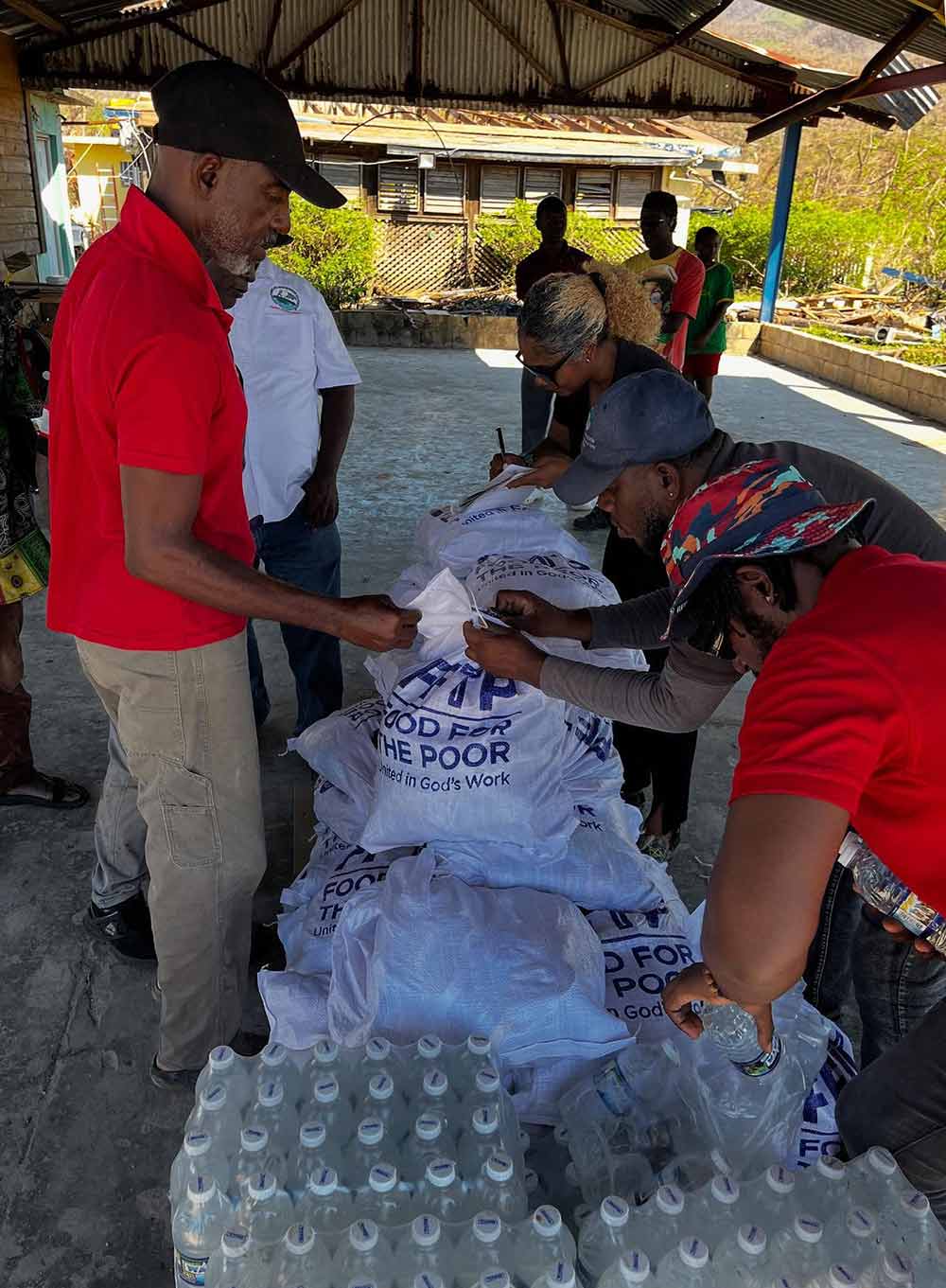
Melissa caused serious damage across the Caribbean in late October.
Melissa is also the strongest super typhoon on the planet this year, surpassing super typhoon Ragasa in the East Sea - a storm that once had peak winds of about 265 km/h, causing damage of more than 2 billion USD and killing more than 150 people.

Jamaica tourism is devastated by super typhoon Melissa right before the peak season
Jamaica sets a clear and ambitious goal of restoring all tourism activities before December 15, 2025, after the impacts of super typhoon Melissa.
To achieve the goal, the government has activated the post-storm feedback force, gathering influential leaders from both the public and private sectors in the tourism industry, along with the participation of key personnel from the General Department of Tourism, large hotel corporations, industry associations and state agencies.
In parallel, another unit called the Tourism Resistance Coordination Committee - also known as Tourism Cares - has been established to take charge of humanitarian, logistical and community support efforts to accelerate the recovery process, according to Travelbiz Monitor.
The Committee focuses on mobilizing support such as cash, necessities, skilled volunteers and technical experts; to ensure that support sources from partners are organized transparently and delivered to the most needs, from workers in the tourism industry to small and medium-sized enterprises.
The Rehabilitation Force will monitor operational aspects such as rapid assessment, infrastructure recovery, safety inspection and service preparation. Their goal is to bring the hotel system, attractions, airports, seaports and tourist corridors back to full operation in a short time.
By handling bottlenecks, arranging reasonable repair procedures and coordinating with industry groups, the force aims to restore tourists' confidence and maintain Jamaica's reputation as a reliable destination.
Meanwhile, the Tourism Resilience Coordination Committee will take charge of the "hanistic backbone" of the recovery process, monitoring contributions and distributing support responsibly.
This effort aims to strengthen the community-based economic ecosystem that the tourism industry depends on, ensuring a sustainable recovery process and bringing widespread benefits.
Both units will cooperate closely with the Global Tourism crisis Management and Resilience Center to apply lessons from previous incidents, especially the very successful recovery period of Jamaica after COVID-19.


