According to the reporter of Lao Dong Newspaper, since the afternoon of May 3, many people have started returning to Hanoi to prepare for a new working week after the April 30 - May 1 holiday.
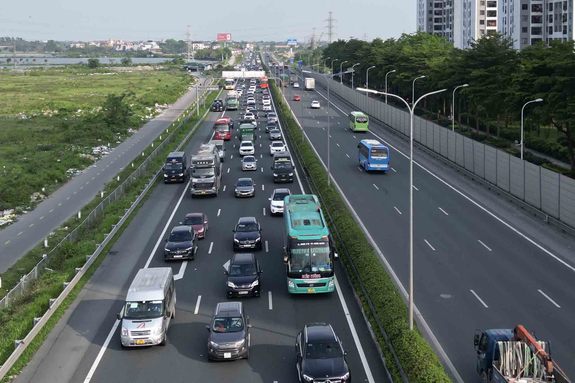
The traffic volume tends to increase rapidly on the Phap Van - Cau Gie expressway, especially the end of the route (intersection with Ring Road 3).
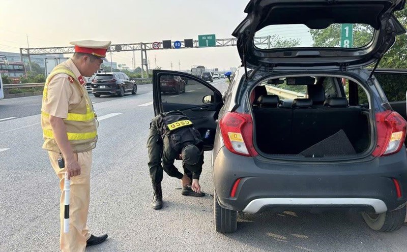
At many times, the line of vehicles is lined up in a 4-5km long line, from the Tu Hiep intersection to the intersection with Ring Road 3. The authorities must increase the number of troops at this intersection to regulate and divert traffic to reduce conflicts and congestion.
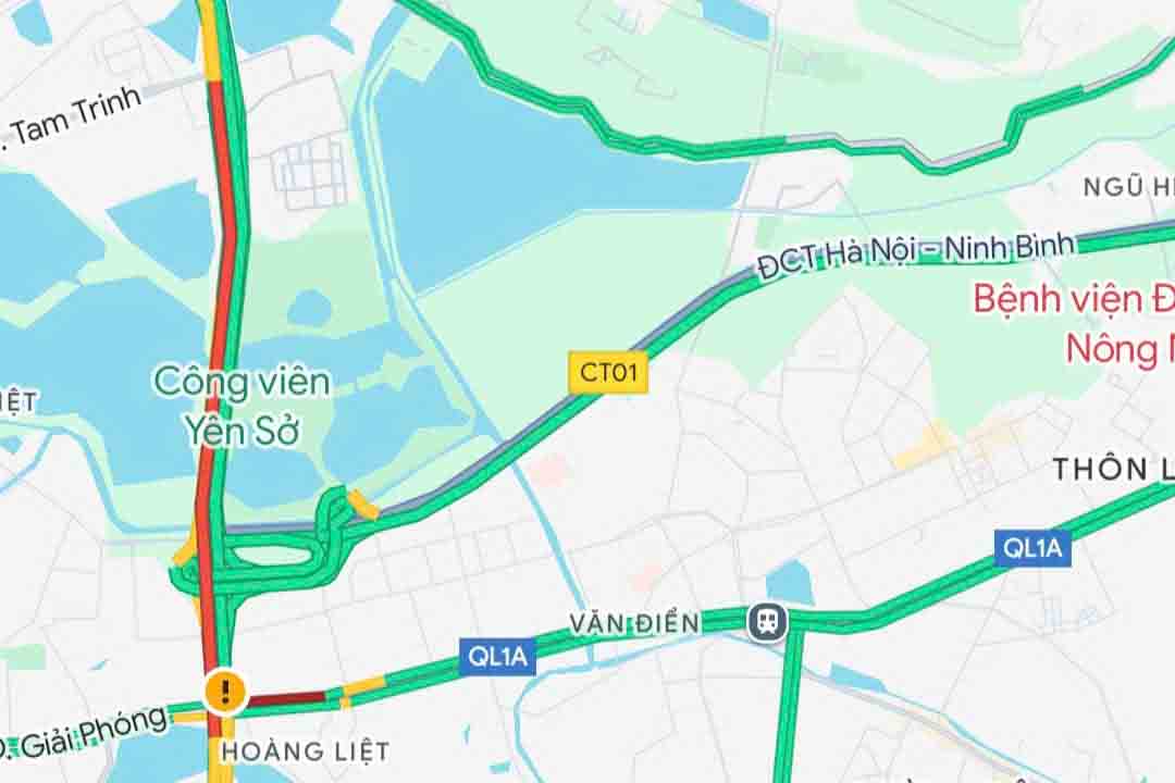
According to many drivers, despite the long traffic jam, the traffic situation update feature on the Phap Van - Cau Gie Expressway (towards the center of Hanoi) is not displayed on Google's map.
Mr. Le Van Nam (from Ninh Binh) said that in the early afternoon of May 3, he and his family traveled from their hometown to Hanoi to prepare for a new working week after the holiday.
As a habit, before starting out, he checks traffic density on the Google Maps application. However, when checking the application, he discovered that the real-time traffic update feature on the Phap Van expressway towards the city center was disabled on the Google Maps map.
"I was quite surprised because I had not encountered such a situation before. If Google Maps updates traffic density information on the expressway, people will be more proactive in choosing a travel route" - Mr. Nam said.
In the end, Mr. Nam still decided to choose the Ninh Binh - Hanoi, Phap Van - Cau Gie expressway route to return to the city center.
However, when arriving at Tu Hiep commune (Thanh Tri district, Hanoi), Mr. Nam and a line of vehicles stretched 4-5km long to head towards the city center.
"Traffic is seriously congested while the Google Maps map still does not display traffic density. This causes many drivers to fall into a passive position" - Mr. Nam said.
Because the map did not update the traffic situation, many people had to post information on social networking platforms to ask about the congestion on the Phap Van - Cau Gie expressway towards the center of Hanoi.
"Is the Phap Van - Cau Gie Expressway congested? Google Maps does not display traffic density so you don't know which way to go but which time" - an account wrote on Facebook at noon on May 4.
In the article, many people said they also encountered a similar situation and hoped that this problem would be resolved soon so that people could be more proactive in choosing a travel route, in order to avoid traffic jams when returning to the capital.
According to Lao Dong, as of 2:00 p.m. on May 4, the Phap Van expressway traffic update feature towards the center of Hanoi was still disabled on the Google map, while other routes still displayed normal traffic density.
The traffic situation display feature on Google Maps has been introduced to the world market for quite a long time.
In Vietnam, after a period of providing testing to users in Hanoi and Ho Chi Minh City, Google has now expanded the traffic update feature to users across the country.
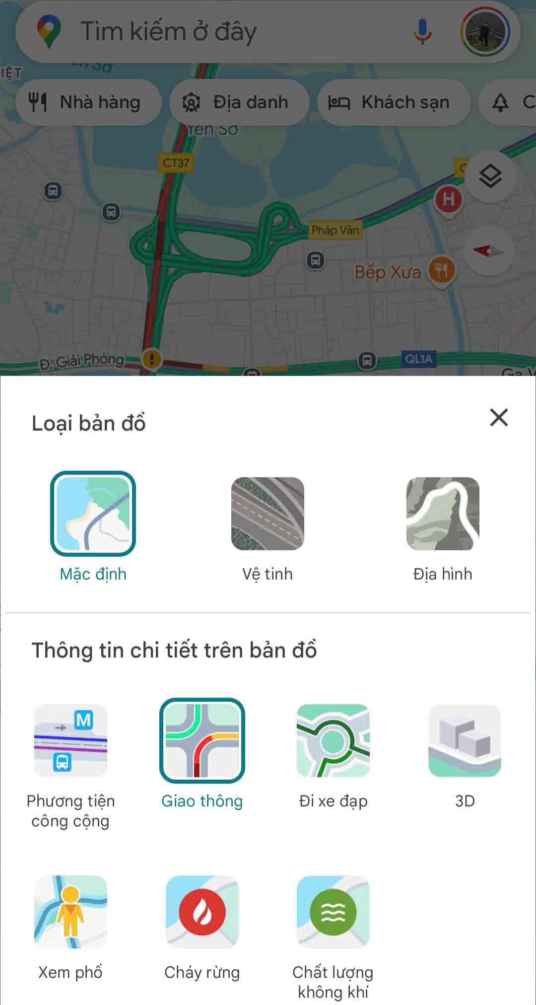
To activate this feature, users access the Google Maps application on their smartphone, click the settings button in the upper right corner, then select "Traffic" in the displayed interface.
After activating this feature, users will see the routes on Google Maps displayed in color, in which green routes mean they are clear, orange routes mean they are temporarily congested, and red routes mean there are traffic jams.
Based on the information provided by Google Maps, users can choose the most reasonable route to avoid traffic jams.