Accordingly, the Hai Phong Specialized Economic Zone is located in the west of Hai Phong city (south of the Hanoi - Hai Phong expressway). The total area planned for the establishment of the Special Economic Zone is about 5,300 hectares, including 6 communes: Thuong Hong, Nguyen Luong Bang, Bac Thanh Mien, Thanh Mien, Hai Hung and Binh Giang (communes according to Resolution No. 11/NQ-HDND dated April 28, 2025 on approving the policy of arranging commune-level administrative units in Hai Duong province in 2025).
The planning area of Hai Phong Specialized Economic Zone is located in the core area of the industrial dynamic zone, west of Hai Phong city (south of Hanoi - Hai Phong expressway). This is an area with a very favorable location, a center connecting the Red River Delta, where there are many industrial and commercial centers, large domestic markets and abundant human resources; capable of connecting traffic by road, waterway and air. In the Vietnam - China relationship, the Specialized Economic Zone is located on the main route of the economic corridors: Nam Ninh - Lang Son - Hanoi - Hai Phong - Quang Ninh; Con Minh - Lao Cai - Hanoi - Hai Phong - Quang Ninh.
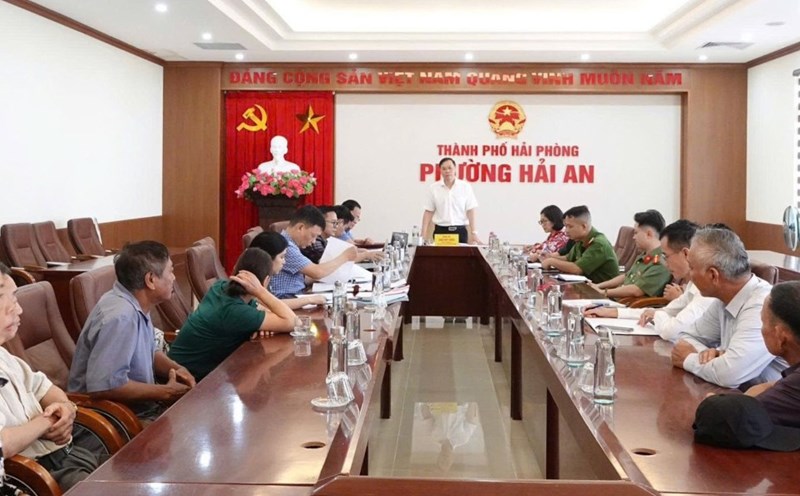
The Standing Committee of the City Party Committee unanimously approved the above contents and assigned the Party Committee of the City People's Committee to direct the implementation of procedures according to regulations, striving to establish a Specialized Economic Zone in 2025.
Along with agreeing on the proposed policy of establishing a specialized economic zone, the Standing Committee of the City Party Committee also approved the investment policy for the route connecting the East-West of Hai Phong city (connecting National Highway 10 with Ring Road 1 of the old Hai Duong city). The starting point of the route is at the intersection between the old Hai Duong City Ring Road I and the Bui Thi Xuan Bridge approach road; the end point of the route is at the intersection between National Highway 10 and Nguyen Truong To Street.
The investment goal is to form a convenient traffic axis connecting the two major urban centers of Hai Phong city (the urban center of the West and East of the city) with an existing traffic network and planning; modern scale, meeting the long-term vision, optimizing distance, distance, travel time. At the same time, expand development space, optimize the formation of new land funds on both sides of the route's corridors; facilize the exploitation of advantages, potential and create investment attraction momentum to serve socio-economic development. Along with that, reduce the load on the traffic network in the area, especially National Highway 5 passing through the city center and the existing road network; synchronously connect the internal and inter-regional traffic network (old Hai Duong City Ring Road I; future Capital Region Ring Road V Expressway; DT.290; DT390B and bypass route 390B; DT.388 planned; Dong Tay Kim Thanh Axis Road; National Highway 17B, National Highway 10 ...).