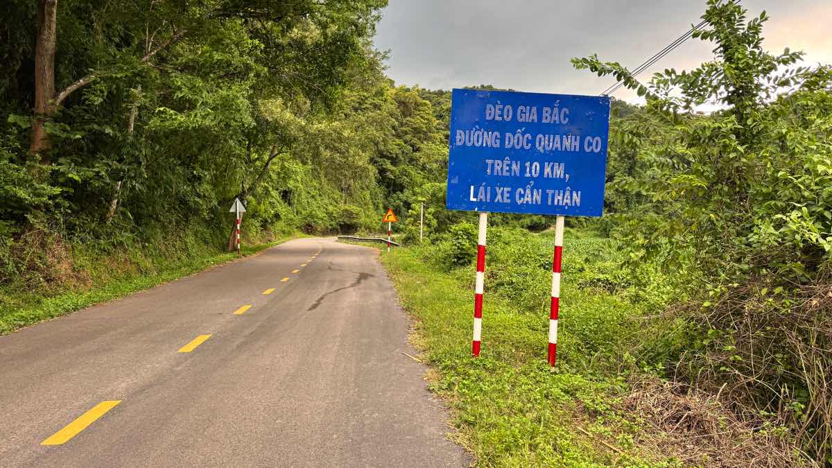
On National Highway 28, Gia Bac Pass connecting National Highway 20 has become a familiar route for drivers from the old Binh Thuan province to the administrative center of Lam Dong province.
Also on National Highway 28, there are many different short, long passes, but Gia Bac Pass is considered extremely dangerous.
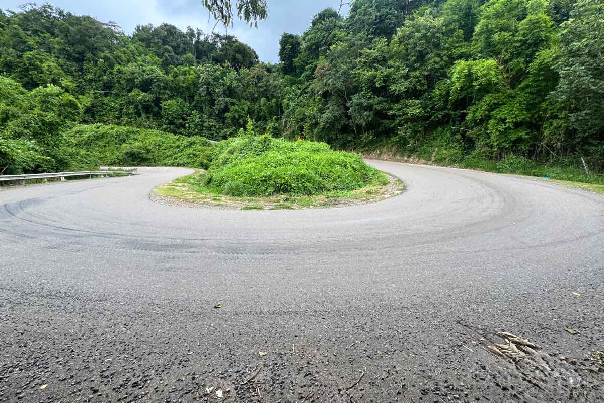
The pass is more than 10km long, this pass is characterized by consecutive hand-carried curves, creating a big challenge for the rider.
The top of Gia Bac Pass is about 800m above sea level. This is also the border between Ham Thuan Bac commune and Son Dien commune.
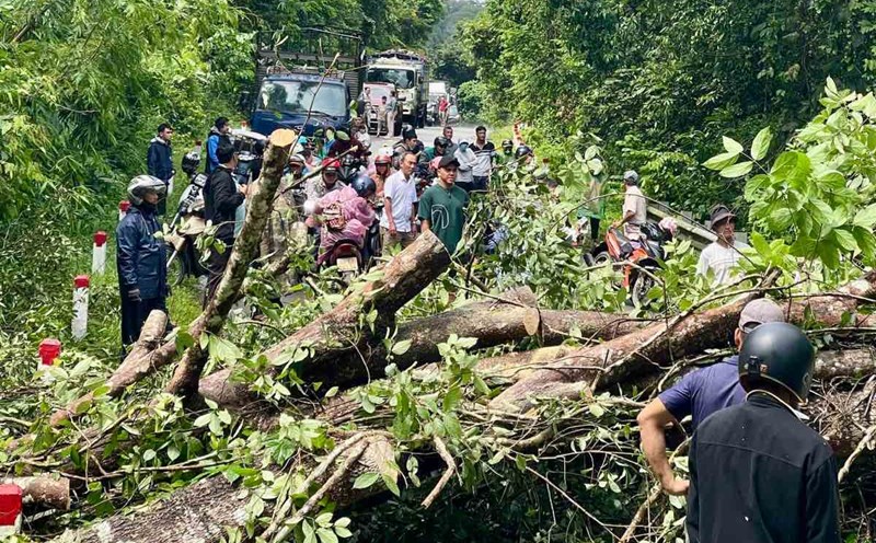
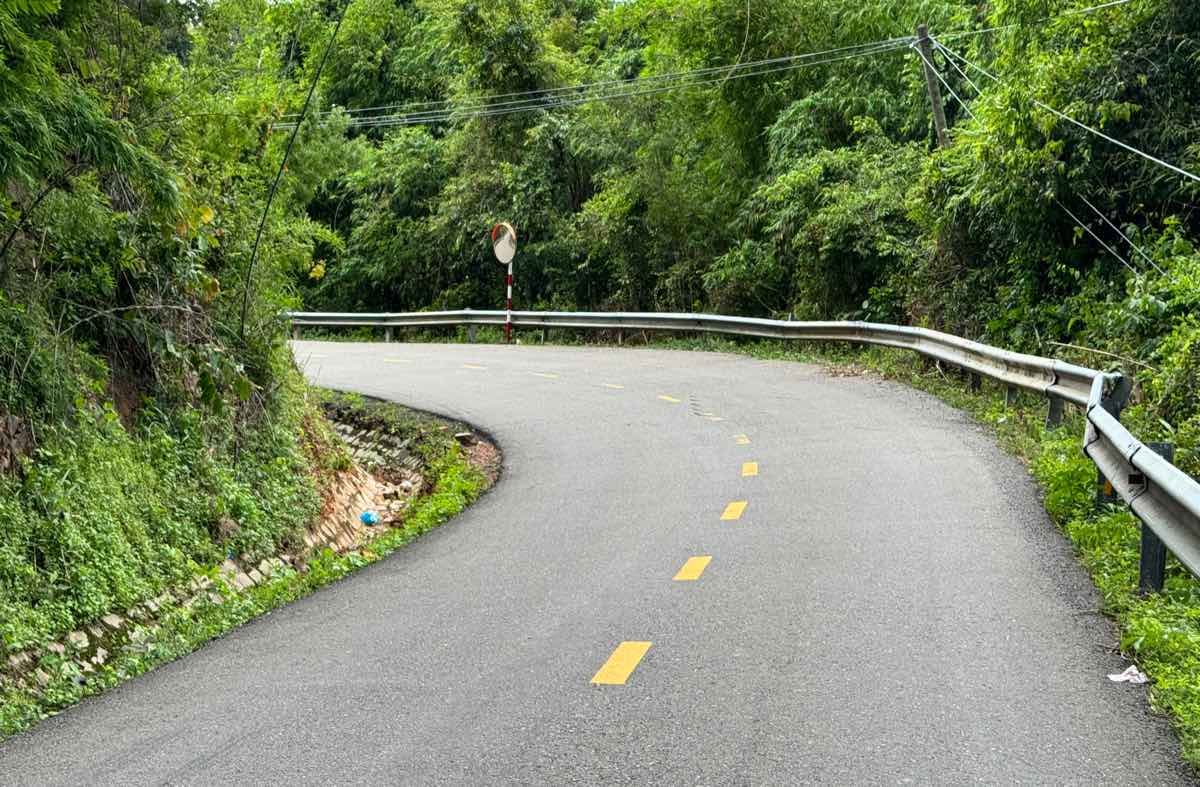
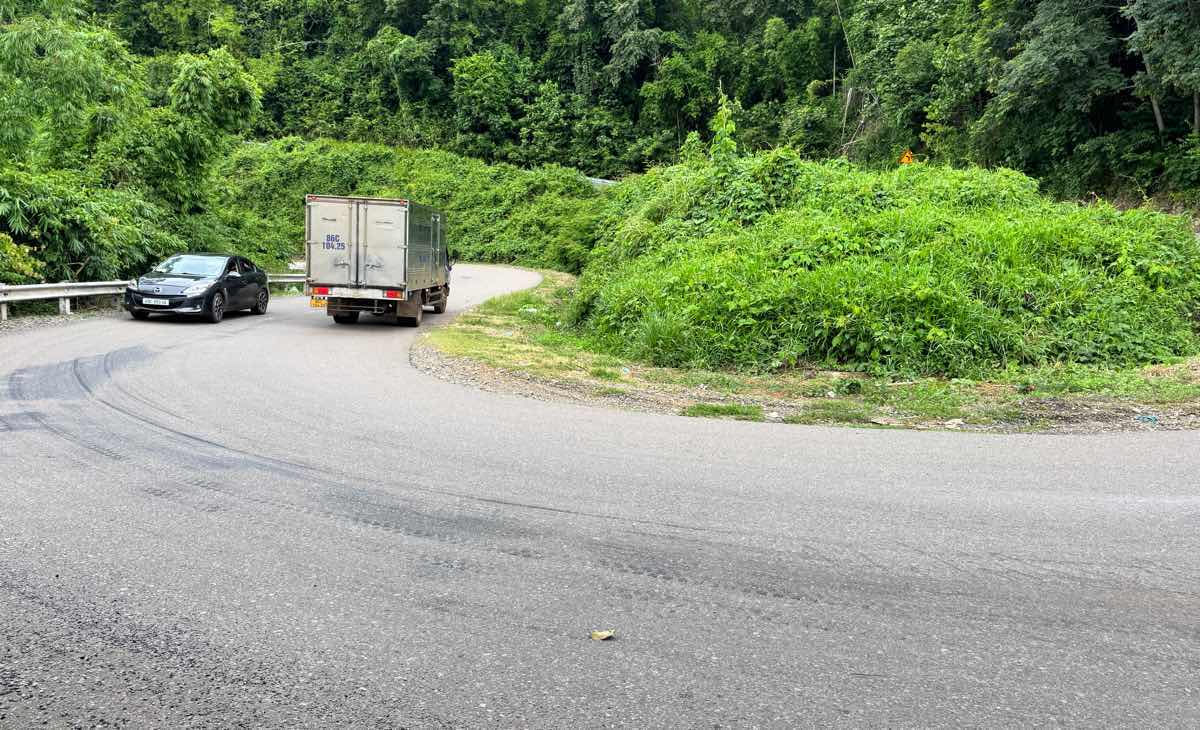
The road surface is narrow, just enough for two lanes to move. Many sections are bent, the abyss is deep on the side of the road, causing drivers to always have to strain their steering.
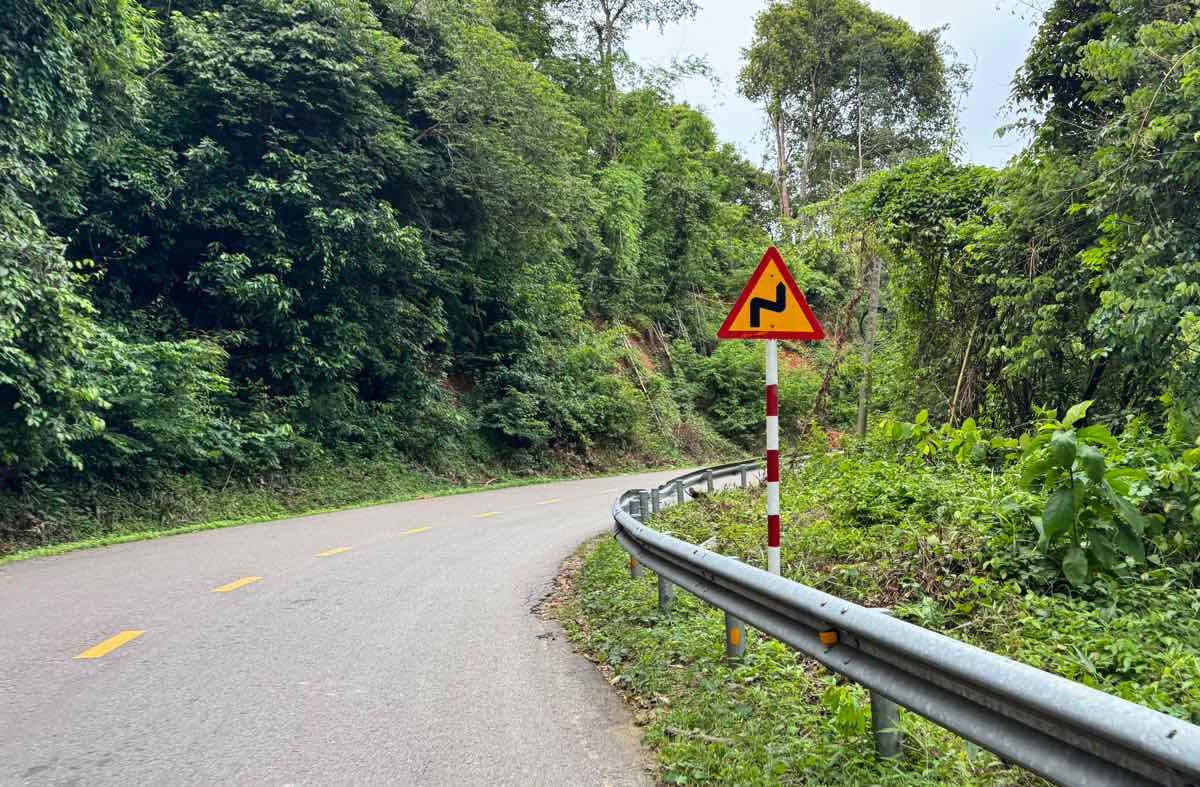
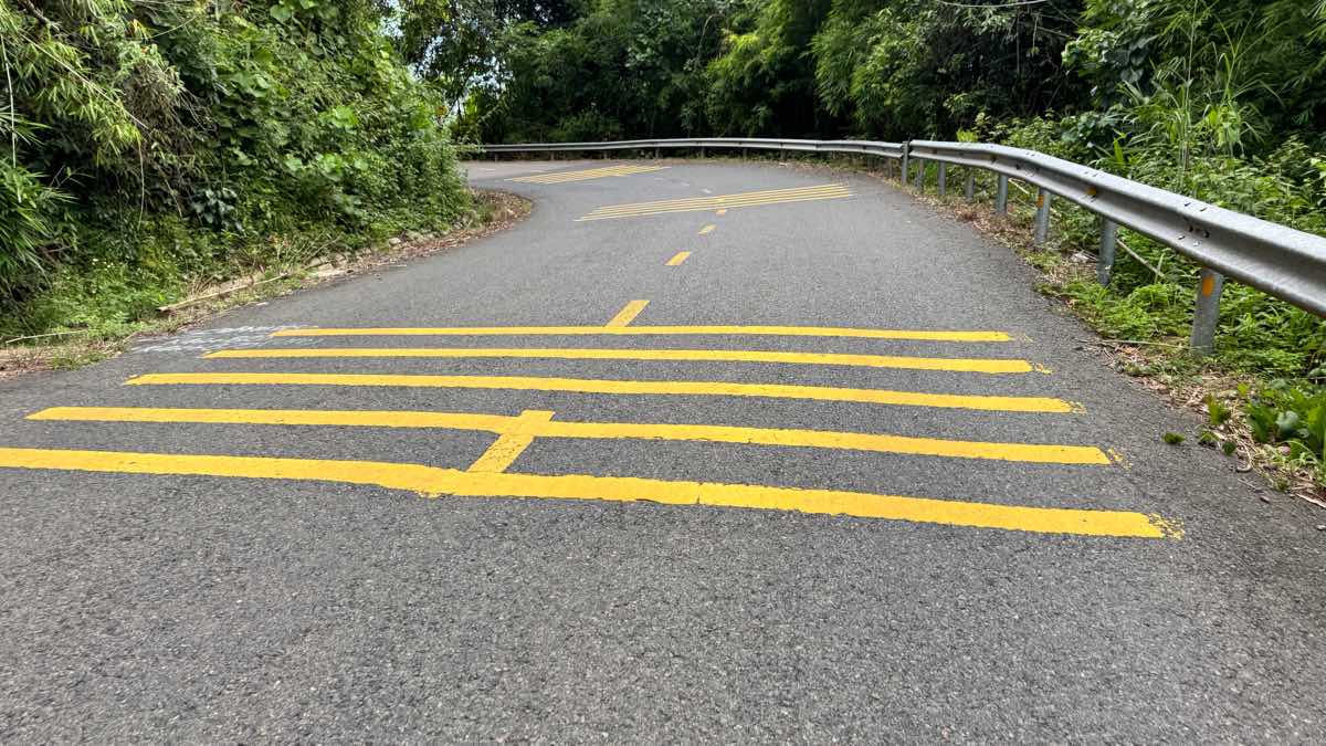
Along the road, there are many signs of curved roads, landslides and acceleration markers on the road at curved locations.
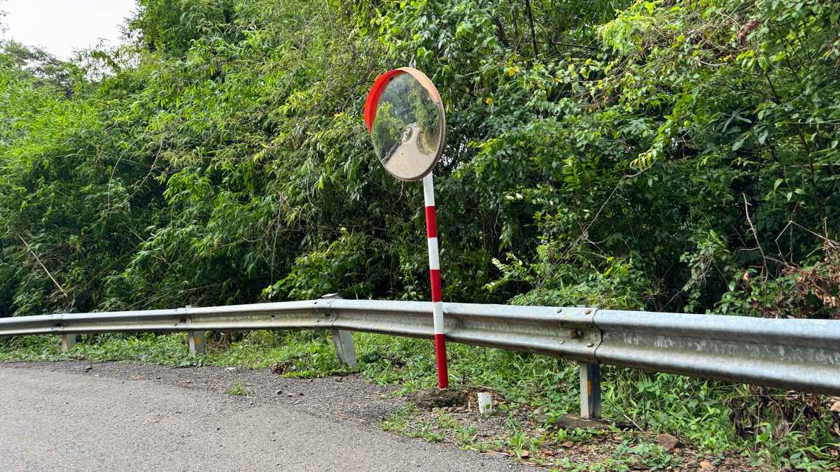
Mr. Huu Duc - a driver who often drives this route said that on Gia Bac Pass, some locations have bored bridge mirrors to help observe. However, in many dangerous corners, they have not been installed yet, posing a potential risk of insecurity.
There are very strict left-handed corners on this road, when passenger cars take a corner, cars traveling in the opposite direction must stop to avoid it.
In the afternoon, when traveling on Gia Bac Pass, you often encounter rain in the forest accompanied by thick fog, limiting visibility.
More than 100 years ago, this was just a trail used by the K'Ho people to transport products down to the plains in exchange for salt. After that, the route was expanded to travel between the plains and mountains.
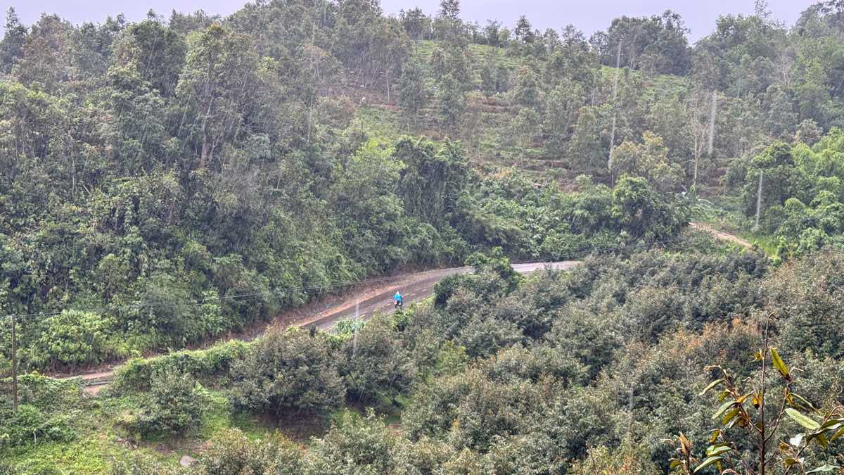
Gia Bac Pass has a wild, majestic beauty with majestic mountains, vast coffee hills, and many potential dangers due to sharp turns and rugged terrain.