THE FIRST STRANGE IN THE THIRD PERIODS
Thanh Lang has 3 Ky: Ky Cung River, Ky Cap Mountain, Ky Lua Bridge. These places have created a mysterious look for this most dangerous borderland. The "throat" nature of the town, which is the starting point for the national highway running from "Ai Nam Quan to Mui Ca Mau" as To Huu's poem said, has created a sacred, mysterious atmosphere permeating the mountains and rivers.
A fluttering peach blossom, a romantic Sli song, a gentle winding river of Lang Son are all ready to let go of their elegance to repay their debt to the country. That river has accepted to be a permanent garrison here, not flowing downstream so that it can always build waves to form a rampart.
It is a beautiful symbolic image of the Ky Cung River. However, literally, the flow of the Ky Cung River has created that personification, because this is the only river in the North that flows in the opposite direction. The Ky Cung River joins the Dak Bla River in the remote Central Highlands, creating an extremely interesting pair of opposite rivers.
Vietnam's topography has caused rivers to flow in a general direction from the Northwest to the Southeast to the East Sea. Even the Da River of the previous period also started its journey in this direction, before changing course to the North. However, the Ky Cung River has a completely opposite flow, from the Southeast to the Northwest.
It is this factor that makes Ky Cung River appear in the group of "strange rivers, strange waters" of the North, even though it is not as majestic and terrifying as Da River, Lo River, Quay Son River, Nho Que River. Ky Cung has its own unique character to create its strangeness.
In terms of source, Ky Cung River originates from a small stream in Bac Xa mountain area at an altitude of 1,166m in Dinh Lap district, then flows in the Southeast - Northwest direction through Lang Son city. When about 22km from the city, Ky Cung River changes direction from South to North to Van Lang town, then changes direction to Southeast - Northwest before turning to the East near That Khe town.
From That Khe at an altitude of only 170m, Ky Cung River receives water from 7 streams and flows along an arc until it crosses the border into China to join Bang Giang River at Long Chau town (Guangxi, China). Ky Cung River flowing in Vietnam is about 243km long, with the main tributaries being Bac Giang River and Bac Khe River.
That journey has been recorded in history books, for example, the book "Dai Nam Nhat Thong Chi" of the National History Institute of the Nguyen Dynasty recorded: "Ky Cung River originates from Tri Vien rapids, Dinh Lap commune, Tien Yen district, Quang Yen province, flows windingly for 23 miles to become Khuat Xa river, then flows 17 miles to become Cam Doan river... pouring into Binh Nhi pass in Long Chau of the Qing Dynasty".
As recorded above, we see that the Ky Cung River has many names such as Khuat Xa, Cam Doan or Na Sam. But in fact, all of those rivers are Ky Cung. The reason is that this place has the habit of using the name of a place to name the river section that flows through its territory.
However, the Ky Cung River deserves to be considered one of the two elements that create the “mountains and rivers” of Lang Son province. Because nearly 80% of Lang Son province’s area lies in the Ky Cung River basin, with waterways connecting the districts of Dinh Lap, Loc Binh, Van Quan, Van Lang, Trang Dinh and Lang Son city, along with famous historical sites such as Na Sam, That Khe...
The attachment of Ky Cung River to Lang Son is truly strange. Because there are few rivers that are so loyal to the land through which it flows. So much so that it refuses to go downstream but leisurely winds through the mountains and forests of Lang Son, then sadly says goodbye at the border.
AMAZING ON THE END OF THE LINE
Along its entire course through Lang Son province, the Ky Cung River has many sections that are almost straight, following a special trough on the terrain called the Cao Lang Trough - essentially a deep and highly active geological fault system with great earthquake potential.
According to geologists, the Ky Cung River has the characteristics of an old river. Archaeological data also show that humans have been attached to the river since prehistoric times, along the caves on both sides of the river. The population near the two banks of the Ky Cung River is mainly the indigenous Tay and Nung ethnic groups and the Kinh ethnic group that migrated there.
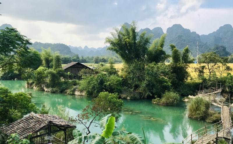
The Ky Cung River has a diverse appearance depending on its surface area. In the wide river sections, the Ky Cung has a relatively gentle, quiet flow among the flat fields, creating a poetic, peaceful picture, suitable for people to choose as a place to settle down.
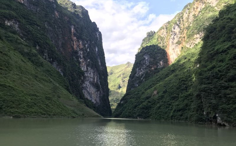
However, Ky Cung also has sections where the surface is narrowed to only a few dozen meters, the flow is strongly meandered so the water course is suddenly unusually fierce. There are even sections where Ky Cung River flows through rapids, with vertical cliffs causing the river to splash white foam, creating a majestic scene.
At this section of the Ky Cung River, there are many rocks blocking the middle of the river. The rocks protrude from the water surface, and the waves hit the rocks according to the river level. Sometimes rising, sometimes falling, white foam splashes, overflowing across a stretch of the river, looking truly spectacular. That place is Ky Cung Thach Do - Stone Wharf on the Ky Cung River.
This is one of the eight beautiful landscapes of Lang Son named by Governor Ngo Thi Sy (1728 - 1780). Ngo Thi Sy's son, the famous scholar Ngo Thi Nham, also marked this stone wharf in the book "Hoang Hoa do pha" as an important location.
The reason for this is that in the past, any journey of the envoys between China and Vietnam had to pass through this stone wharf. Therefore, since the reign of Tu Duc (1830), the Ky Cung River was listed by the royal court in the Dictionary - the annual national scenic spot worship ceremony.
Another interesting feature of the Ky Cung River is that although it is not classified as a large river, its sediment load is among the largest in the river system in Vietnam. Every year, the Ky Cung River carries 628 thousand tons of sediment, meaning that each cubic meter of water carries up to 1,080 grams of sediment.
In particular, the alluvium of the Ky Cung River has a deep red color, making the river water even redder than the water of the Red River at the same time. And although there are few floods, about 5 floods per year, floods on the Ky Cung River also appear during the dry season (in March or October of the solar calendar). Indeed, in a famous mountain, strange water will arise.
The Ky Cung River is also associated with a wind that creates the typical winter climate in the North: the Northeast Monsoon. Because this river blocks the path of the monsoon, whenever “the radio reports a Northeast Monsoon”, the Ky Cung River is the place that receives the monsoon earliest, and is also the place that ends the coldest in the country.
This situation can be associated with the quality of a gentleman who must “worry before the world, eat and sleep after the world”. And thanks to that, the area where the Ky Cung River flows through has a subtropical climate with about 45 days of drizzle and 31 days of fog in a year.
This type of climate has created favorable habitats for famous forest products such as mac mat (ingredients for roasting, grilling, and pickling) and especially star anise, a spice that was once considered a golden brown on the spice route from East to West. Every autumn, the Ky Cung River and Lang Son are filled with the fragrant scent of star anise.
Therefore, Ky Cung River is always attached to this land, becoming a river that flows upstream forever!


