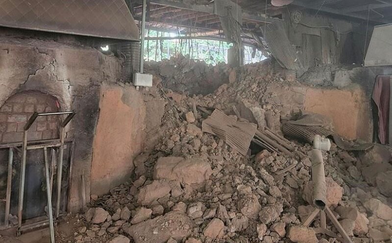
Late this afternoon (September 27), Mr. Hoang Phuc Lam - Deputy Director of the National Center for Hydro-Meteorological Forecasting - provided the latest comments on storm Bualoi. Accordingly, storm No. 10 Bualoi moves very quickly (nearly double the average speed), strong storm intensity, wide range of influence, can cause the combined impact of many types of natural disasters such as strong winds, heavy rain, floods, flash floods, landslides and coastal flooding.
''The storm's circulation is wide, the western clouds of the storm cause early rain. Although at sea and the maximum intensity of the storm is not as strong as storm No. 9, because it is not weakening much, the impact on the mainland of our country will be much stronger than storm No. 9' ', Mr. Lam said.

According to the Deputy Director of the meteorological agency, from the evening of September 27, the sea area from Thanh Hoa to Quang Ngai (including Hon Ngu island, Con Co and Ly Son special areas) will have winds gradually increasing to level 6 - 7, gusting to level 8 - 9, waves 3 - 5 m high, and strong waves.
From early morning on September 28, the wind increased to level 8 - 9, the area near the storm center passed level 10 - 13, gusting to level 16, waves 5 - 7 m high, rough seas (extremely strong destructive power, extremely strong waves). Sinking a ship with a large weight).
For the Gulf of Tonkin area (including Bach Long Vy, Van Don, Co To, Cat Hai and Hon Dau island specialties), it is forecasted that from early morning on September 28, the wind will gradually increase to level 6 - 7, then increase to level 8 - 9 (very rough seas, very dangerous for boats), gusts of level 11, waves 3 - 5 m high, very rough seas.
Forecast of the impact of the storm on land, in terms of strong winds, from the afternoon of September 28, on land in the area from Thanh Hoa to North Quang Tri, the wind will gradually increase to level 6 - 7, then increase to level 8 - 9, the area near the storm's eye will be level 10 - 12 (the wind can cause trees, houses, electric poles to fall, causing very heavy damage), gusting to coastal areas from Quang Ninh to Ninh Binh, from South Quang Tri to Hue City, the wind will gradually increase to level 6 - 7 ( Trees will shake, difficult to go back to the wind), gusting to level 8 - 9.
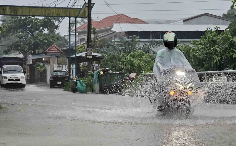
From the evening of September 27 to September 30, in the North and the area from Thanh Hoa to Quang Ngai, there is a possibility of a widespread heavy rain with total rainfall ranging from 100 - 300mm, locally over 450mm; in the Northern Delta, South Phu Tho and from Thanh Hoa to the North of Quang Tri, it is generally 200 - 400mm, locally over 600mm.
Given the dangerous nature of the storm, the Deputy Director of the Meteorological Agency recommended that local authorities forecasting impacts should increase propaganda and proactively deploy plans and measures to prevent and avoid the storm; always be vigilant and closely monitor forecasts and warnings about storm activities.
On the people's side, it is necessary to update forecast information through mass media, strictly follow recommendations of local authorities on storm prevention measures, evacuation plans, sea ban, etc.