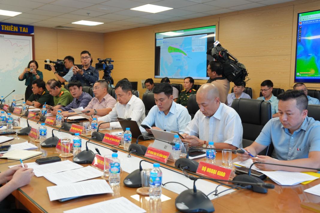
On the afternoon of July 18, the Ministry of Agriculture and Environment held a meeting to respond to Typhoon Wipha approaching the East Sea.

At the meeting, Deputy Minister of Agriculture and Environment Nguyen Hoang Hiep emphasized that since the beginning of the year, natural disasters have been unusual. Typhoon Wipha is likely to enter the East Sea and become storm No. 3, affecting our mainland, causing heavy rain.
Mr. Mai Van Khiem - Director of the National Center for Hydro-Meteorological Forecasting - said that in the past 6 hours, storm Wipha has been moving northwest at a speed of 20 km/h. Convective cloud swirlpools begin to develop around the center of the storm. The storm system is in a favorable environment for development.

"Around the morning of July 19, the storm entered the East Sea, becoming storm No. 3. The probability of this storm strengthening when entering the East Sea is forecast to be very high, about 90%," said Mr. Khiem.
According to Mr. Khiem, the current forecasts of the storm's trajectory have significant differences between models. The models' forecast landfall points are about 100km apart (real impacts may vary widely). The intensity forecast is not consistent among the forecast centers.
Current wind forecast is strong storm level 8 - 9, gust level 11. On the morning of July 19, the storm entered the East Sea. On July 21, the storm moved into the Gulf of Tonkin, with the intensity of the storm possibly at level 12, gusting to level 15. The strongest intensity of the storm is forecast to be when it is east of Zhejiang (China).
On July 22, when affecting the mainland of the North, the storm is forecast to be about level 10 - 11.
Regarding the rain forecast, from the afternoon of July 20, the storm may have thunderstorms in the western circulation of the storm. From July 21 to 24, the storm may cause widespread heavy rain in the North and North North Central regions.
"The affected area is forecast to be from Quang Ninh to Nghe An. The total rainfall is estimated at 200-350mm, with some places ranging from 500 - 600mm. However, this is a preliminary assessment, the reliability is not high, it needs to be updated further" - Mr. Khiem said.
According to Mr. Khiem, if the storm shifts north, traveling along the coast of Guangxi (China), the impact of rain and wind will decrease. Rainfall depends on the direction of storm No. 3, and will be specifically updated in the emergency storm bulletin on July 20.
Reporting at the meeting, Mr. Nguyen Truong Son - Deputy Director of the Department of Dyke Management and Natural Disaster Prevention and Control - said that as of 11:00 a.m. on July 18, 2025, he had notified, counted, and instructed 35,183 vehicles/147,336 workers, of which 790 vehicles/4,160 workers were operating in the North East Sea and Hoang Sa archipelago.
"There are currently no vehicles operating in the northeast of the North East Sea (the area affected by the storm)" - Mr. Son said.
The total aquaculture area in coastal provinces and cities from Quang Ninh to Thanh Hoa is 126,583 hectares (52,854 hectares of brackish water shrimp farming, 21,587 hectares of molluscum farming, 53,083 hectares of freshwater aquaculture); 19,099 cages; 3,693 aquaculture cages at risk of being affected by storms and floods.
Regarding the situation of the reservoir, in Hoa Binh Lake, the upstream water level of the reservoir at 1:00 p.m. on July 18 was 102.94m; Currently, 3 bottom spillways are being opened to bring it to the 101m elevation (the highest water level before floods during the main flood season from July 20 to August 21).
Tuyen Quang Lake has an upstream water level of 104.98m at 1:00 p.m. on July8; currently has 1 bottom spillway (will close at 3:00 p.m. on July 18). Son La and Thac Ba lakes are below the highest water level before the flood.
Regarding irrigation reservoirs, there are a total of 2,543 lakes (325 large lakes, 525 medium lakes, 1,693 small lakes); the average amount of water stored in the lakes is about 55% - 84% of the designed capacity.
There are currently 47 lakes under repair and upgrading (Tuyen Quang 16, Dien Bien 3, Lao Cai 4, Thai Nguyen 11, Lang Son 3, Phu Tho 6, Bac Ninh 2, Ninh Binh 2) and 5 newly built lakes (Cao Bang 3, Lai Chau 1, Tuyen Quang 1).
The sea dyke system and river dykes in coastal provinces from Quang Ninh to Thanh Hoa still have 20 key dyke points (Quang Ninh 02, Hai Phong 8, Hung Yen 6, Ninh Binh 4) and 7 projects under construction (Hai Phong 2, Hung Yen 1, Ninh Binh 3, Thanh Hoa 1).


