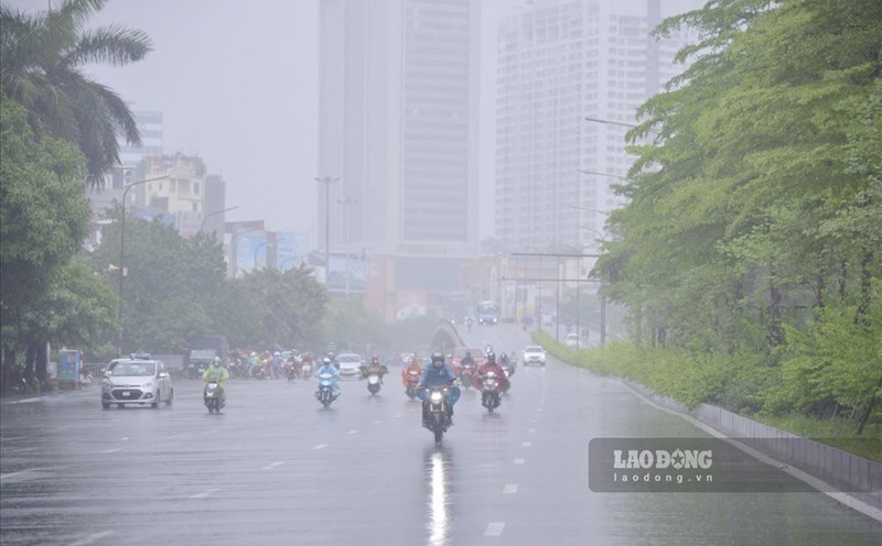
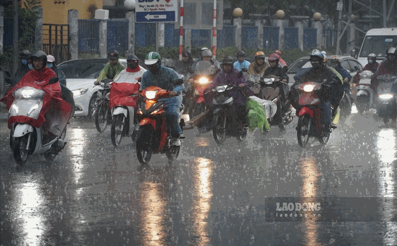
According to the National Center for Hydro-Meteorological Forecasting, from 2:00 p.m. to 3:00 p.m. on July 9, in some areas of Tuyen Quang and Lang Son provinces, moderate to heavy rain occurred. Some places with heavy rain were recorded such as Ban Chat (Lang Son) 63.4mm, Van Ninh (Lang Son) 34.2mm, Ban Nung (Tuyen Quang) 24mm
The soil moisture model shows that many areas in the two provinces above are in a state of near typhoon (over 85%) or completely typhoon, with a high risk of landslides.
In the next 3 - 6 hours (from 3:30 p.m. on July 9), Tuyen Quang and Lang Son provinces will continue to have rain, with accumulated rainfall ranging from 20 - 50mm, some places over 80mm.
In the next 6 hours (from 3:30 p.m. on July 9), the risk of flash floods on small rivers and streams, landslides on steep slopes is very high in the following communes/wards: Khau Vai, Khuon Lung, Mau Due, Nam Dich, Ngoc Long, Niem Son, Quang Nguyen, Tan Quang, Tat Nga, Thong Nguyen of Tuyen Quang and Chi Lang, Van Linh, Bang Mac, Xuan Duong, Binh Gia, Cai Kinh, Chien Thang, Dinh Lap, Hong Phong, Huu Lien, Huu Lung, Khuat Xa, Kien Moc, Loi Bac, Mau Son, Tan Tri, Tan Van, Le, Van Quan, Vu Le of Sang Son.
The meteorological agency warns that the risk of natural disasters due to flash floods, landslides, and land subsidence due to heavy rain or water flow is level 1.
Flash floods and landslides can have serious impacts on the environment, threaten people's lives; cause local traffic congestion, affect the movement of vehicles; civil works and economic infrastructure, causing damage to production activities and social life.
The meteorological agency recommends that localities proactively review flow bottlenecks and vulnerable areas to take timely preventive and response measures.