According to the National Center for Hydro-Meteorological Forecasting, currently (October 22), there is a tropical depression active in the eastern sea of Taiwan (China).
At 4:00 p.m. on October 22, the center of the tropical depression was at about 22.7 degrees north latitude - 123.3 degrees east longitude. The strongest wind near the center is level 7 (50 - 61 km/h), gusting to level 9. The tropical depression is moving southwest at a speed of 20 - 25 km/h.
It is forecasted that in the next 24 hours, the tropical depression will move south-southwest at a speed of 20-25 km/h.
Around tomorrow afternoon, October 23, this tropical depression will move into the eastern sea area of the North East Sea.
At 4:00 p.m. on October 23, the center of the tropical depression was at about 19.0 degrees north latitude - 119.7 degrees east longitude, in the eastern sea of the northern East Sea. Strong wind level 6-7, gust level 9.
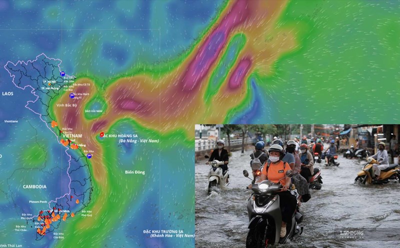
The dangerous area in the East Sea is located from 17.30.5 degrees north latitude - east of 118 degrees east longitude. Natural disaster risk level 3, the eastern sea area of the northern East Sea.
The meteorological agency said that after entering the East Sea, the tropical depression was blocked by cold air and pushed south, weakening into a low pressure area and dissipating in the East Sea. It is forecasted that it will not affect the mainland of Vietnam.
It is forecasted that in the next 48 hours, the tropical depression will move southwest at a speed of about 20-25 km/h and tend to weaken gradually. At 4:00 p.m. on October 24, the center of the tropical depression was at about 15.6 degrees north latitude - 115.5 degrees east longitude, about 350 km east of Hoang Sa Special Zone. Strong wind level 6, gust level 8.
The danger zone is from 14-19.5 degrees north latitude - east of 114 degrees east longitude. Natural disaster risk level 3, the sea area south of the northern East Sea.
It is forecasted that in the next 72 hours, the tropical depression will move mainly in the west-southwest direction, traveling 15-20 km per hour and gradually weakening into a low pressure area.
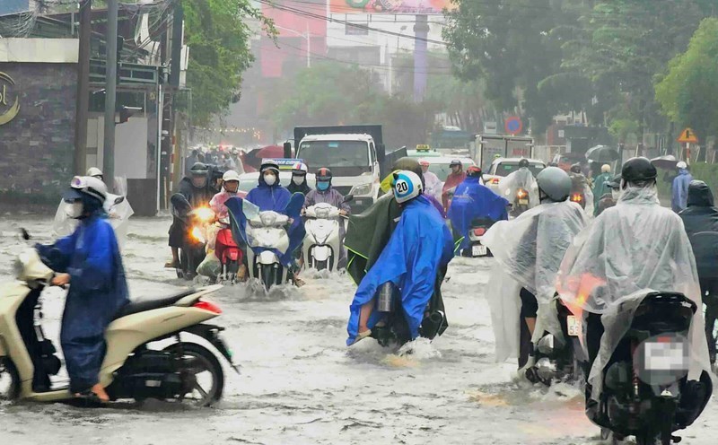
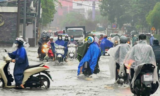
Regarding the impact of the tropical depression, due to the influence combined with the strengthening of cold air, the sea area east of the northern East Sea will have strong winds of level 6 - 7, gusts of level 9; waves 3 - 5 m high, rough seas. Ships operating in areas affected by the danger zone need to proactively avoid strong winds, large waves, thunderstorms and tornadoes.