The National Center for Hydro-Meteorological Forecasting has issued a weather trend forecast for the period from now until June 20.
Regarding temperature trends, the average temperature across the country is generally at a level close to the average of many years; in the Northwest region, it is 0.5 - 1 degree Celsius higher than the average of many years in the same period.
During the forecast period, hot weather will continue to occur in the Northern and Central regions. The intensity of hot weather is likely to increase from June 2025. The increasing heat is accompanied by a risk of drought, water shortage and a very high risk of fire and explosion in the Northern and Central regions.
Previously, in the past month, in the Northern region, hot weather has appeared on the following days: April 23 - 24 and May 2-9. In which the Northwest region will have hot and severe heat, the Northeast region will have localized severe heat.
The Central region will have hot weather on April 20 - 25 in the provinces from Thanh Hoa to Phu Yen. On May 4 - 9, hot weather appeared in the provinces from Nghe An to Phu Yen. From May 20, hot weather will appear widely again in the entire Central region.
The total rainfall in the next month in the mountainous areas of the North, Central Highlands and the South is likely to be 10 - 25% higher than the average of many years.
The Central Central and South Central regions have total rainfall generally 5 - 20% lower than the average of many years. Other regions are approximately the same as the average of many years in the same period.
During the forecast period, the Northern region is likely to experience some moderate rain, heavy rain and thunderstorms. The southwest monsoon in the South continues to cause showers and thunderstorms in the Central Highlands and the South.
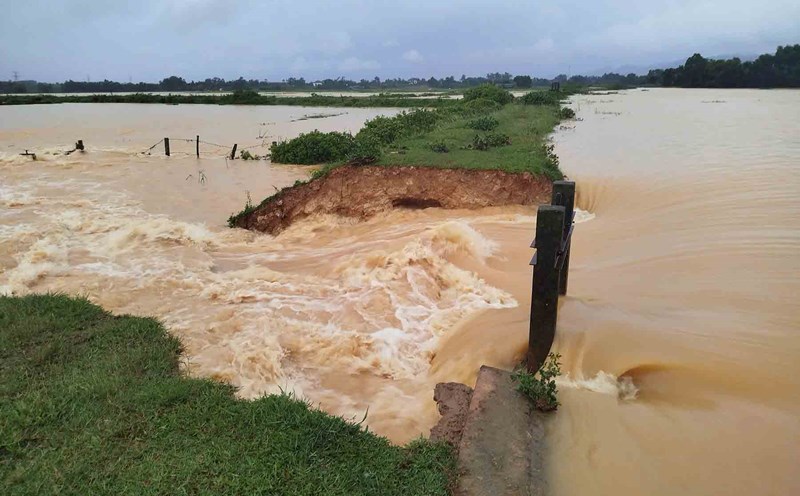
There is a possibility of dangerous weather phenomena such as thunderstorms, tornadoes, lightning, hail and strong gusts of wind across the country. In particular, it is necessary to be on guard against heavy rains that can cause floods, inundation in low-lying areas and landslides in mountainous areas.
Regarding dangerous weather at sea, during the forecast period, there is a possibility of tropical cyclones appearing in the East Sea and at a level close to the average of many years (according to the average data of many years in this period, there will be about 0.91 storms or tropical depressions).
Storms, tropical depressions and the southwest monsoon are likely to cause strong winds and large waves affecting the activities of ships.